July, 1982

A number of weekend trips were made in June and July and these
have been combined into this trip report.
Descriptions of the photographs were written in November,
2004.
 Kansas
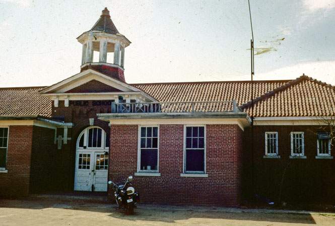
This high school in Langdon, Kansas was built around 1910. I don't believe
it was still in use, but even so, it looked as if it could have been.
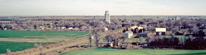
Two shots of the main road through Langdon.

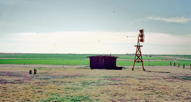
Fort Larned was a significant army outpost. The sod house and
windmill were part of a museum.
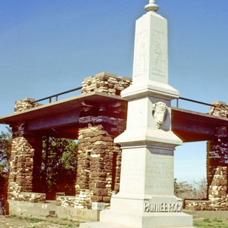
Along the Santa Fe Trail, Pawnee rock was an important landmark. It's
not surprising then that some sort of monument would be erected.
Rather unfortunately, the monument (erected 1920 by the DAR among several
other organizations)
obscures and overwhelms the very thing that it is intended to commemorate.
The town of Pawnee Rock taken from the rock of the same name. By
the time this town would have been founded, the Santa Fe Trail would have
been obsolete.
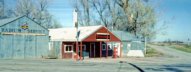
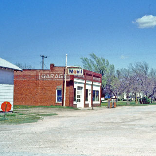
The (not very active) town of Radium. I do not know where the town
got its name (but, I can guess).
The highway leading north out of Radium may be the worst highway (as
compared to just a dirt road) I've ridden. Very soft sand on top of
deep ruts (that cannot be seen). Difficult riding.
The town of Roxbury. The building next to the motorcycle is the
general store, and is still used (in 1982). The white building is the
post office
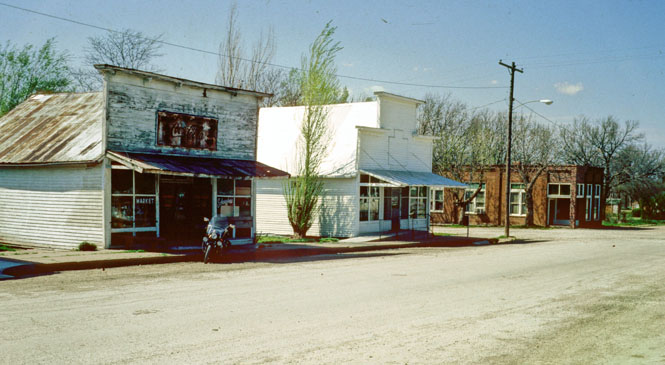
In Roxbury, all the streets are dirt.
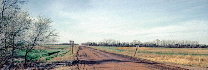
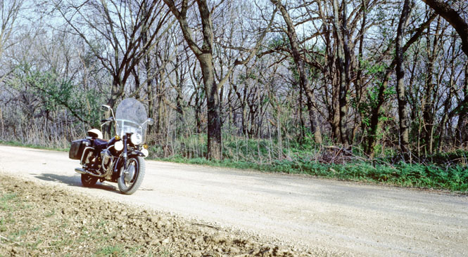
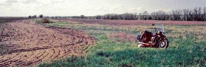
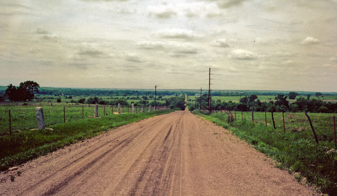
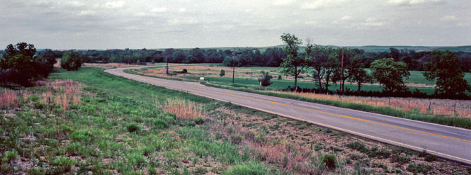
It's just another dirt road someplace in Kansas.
 Missouri
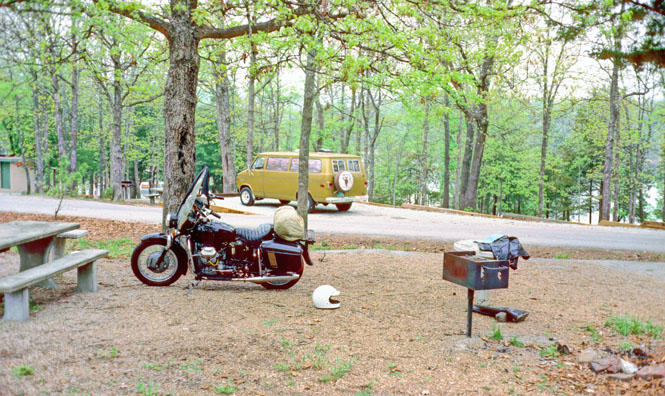
Table Rock Lake in Missouri--the Arkansas border is just a couple of miles
to the south. If you look through the trees you can see the water.
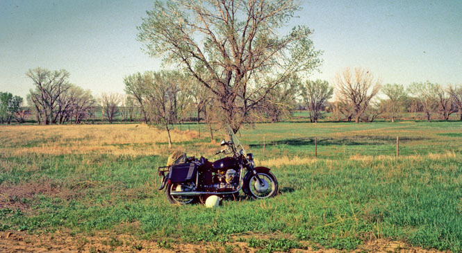
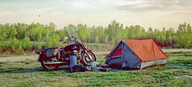
This was hard ground, and not very comfortable to sleep on.
Somehow, during that hazy day, I managed to get completely turned around,
and found myself passing the same spot, twice. That doesn't happen too
often.
 Arkansas
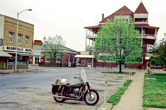
Berryville, Arkansas. The large building is a common type or
architecture in the area.
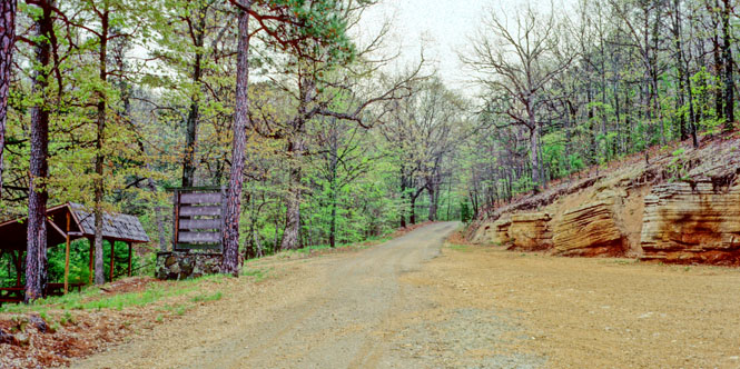
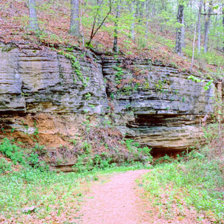
As seen in "Ripley's, Believe it or not!" See Pivot Rock! See
the Natural Bridge!
This is the private road that takes you to the rock. It's just about 4
miles long.
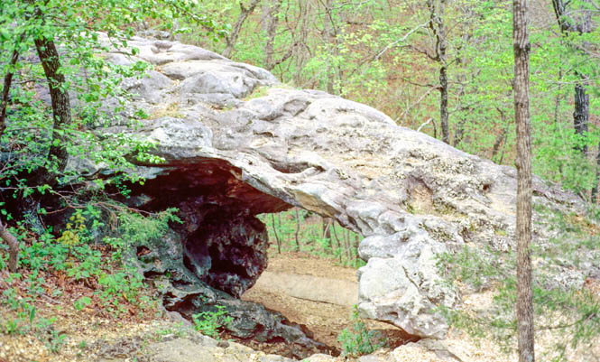
The cost to enter was $1.50 at the cabin. I'm not sure what I was
expecting, but I think I expected something more dramatic than this.
But it is a bridge and it is natural (I suppose).
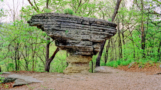
Pivot Rock. Pretty interesting, really.
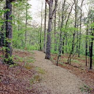
On down the walking trail at Pivot Rock.
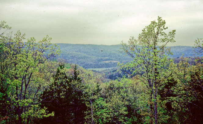
Approaching Beaver Lake, Arkansas.
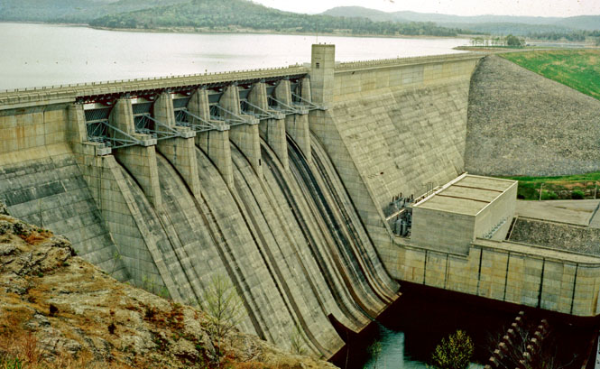
The Army Corp of Engineers dam at Beaver Lake.
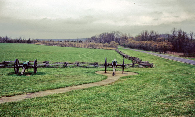
Pea Ridge National Battlefield in northern Arkansas. This was the site
of a significant Confederate defeat. There is a one-way road that takes
you through the park.
Kansas
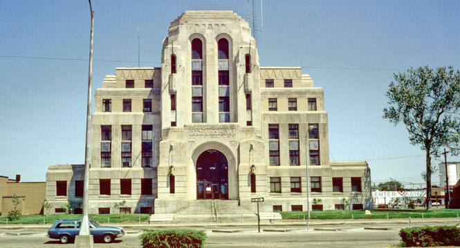
The Reno county courthouse in Hutchinson Kansas. The building dates
from 1930, so it was likely approved just before the depression.
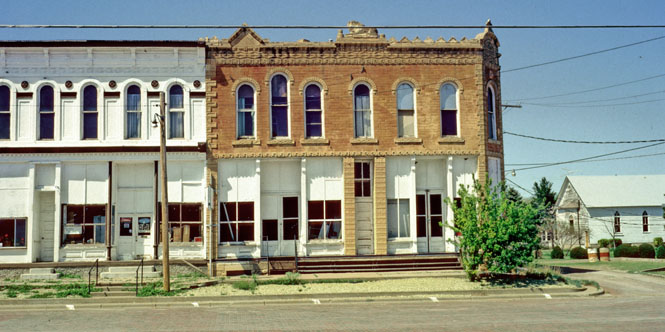
A hodgepodge building in Ness City.
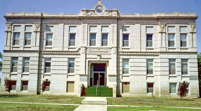
The Ness County courthouse.
The AAA map showed something called Castle Rocks on the map, but the map
didn't show any roads leading to them. This was a quest to find the
Castle. I was on many miles of dirt roads aiming for where I thought
the rocks would be. Well off across an open field I saw what might be
called "castle rocks."

So, I cut into the field and rode as far as I
could...
...before reaching a barb wire fence.
I then walked the rest of the way to the formations.
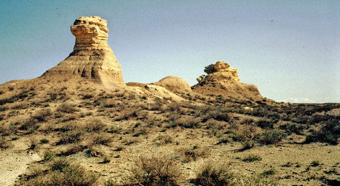
While they had some interest, they really didn't
seem all that impressive. Anyway, I took several pictures. When
I reached the motorcycle again, I found that I had put my helmet directly
on top of an ant hill. Not very smart. Took 15 minutes to clean
all the ants out and even then, a couple of the guys still made an
appearance on my face shield when I started riding, again.
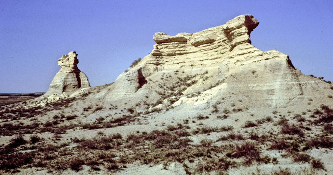
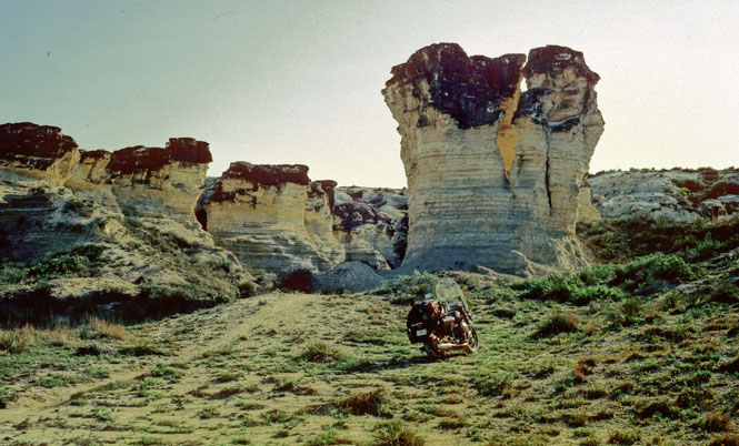
I continued up the main dirt road when I saw a faded shotgun-blasted sign
that said: "Castle Rocks - 5 miles." Oh. So, what I had just
been to was not what I was looking for.
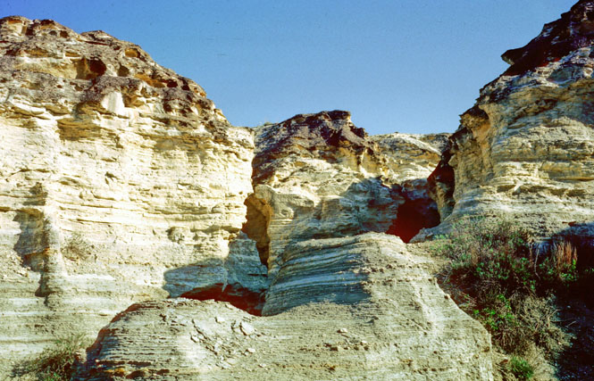
This was more like it: the real
Castle Rocks.
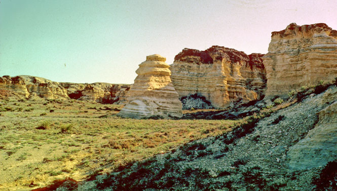
They're similar to the Badlands of South Dakota, except on a vastly smaller
scale. In Wyoming or Nevada or any number of other locations, these
would be throw-away formations, not worth a second look. But in
Kansas they're unique enough for a mention.
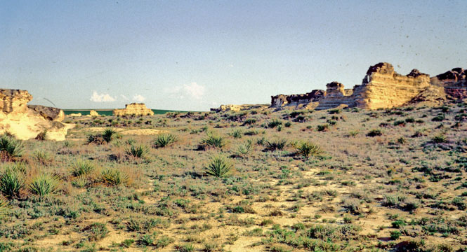
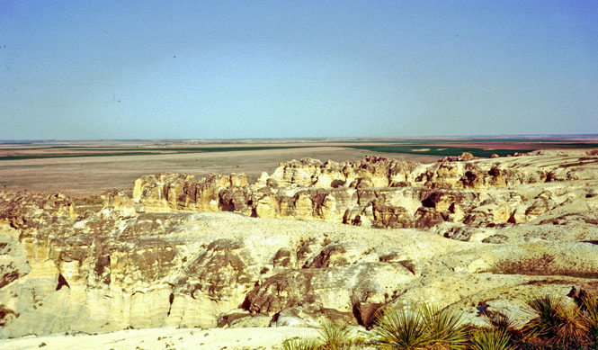
Off in the distance, you can see another
formation, which is about 40 feet high. I would recommend against
taking a car on this road.
No signs. No tourist information. No water. No road.
Nothing. But really, they're all the more interesting for having to
work at getting to them.
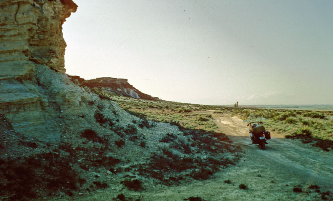
I climbed up the formation to the higher level of the prairie to get this
shot. And actually, that's what the rocks are. There are two
levels of the land and these formations are the eroded cliffs that connect
the two levels. It all makes more sense from the air.
I spent the night at Webster Reservoir. A hot and muggy night on lumpy
ground.
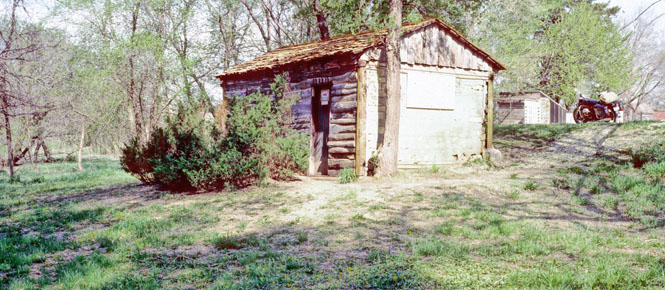
The cabin where "Home on the Range" was written in 1873 by Dr. Brewster Higley.
This is a self-service museum. There's a Dixie cup for coins and a
cigar box to hold the pamphlets. A hand-written sign requested 15
cents for a pamphlet. Inside the cabin was an old
bed and an old chair, said to be the oldest chair in Kansas. Who's to
say otherwise?
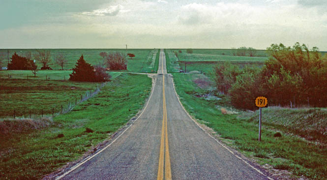
The Geographic Center of the United States near Lebanon, Kansas, not far from
the Nebraska border.
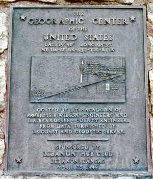
The photograph below was taken from near the monument. Highway 191
dead-ends at the foot.
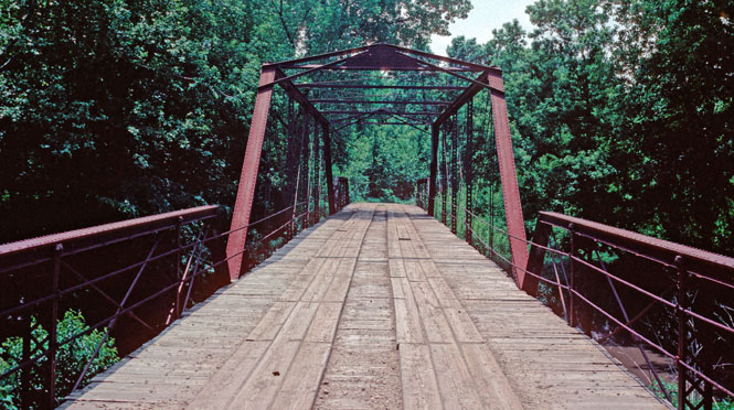
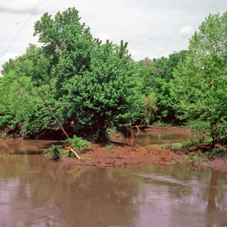
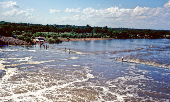
An iron bridge over the Neosho River built around 1880.
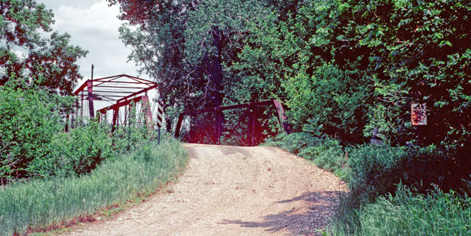
You learn not to run down the middle of these bridges, as you cannot trust
that all the boards will be in place. This bridge made a bit of noise
when I crossed.
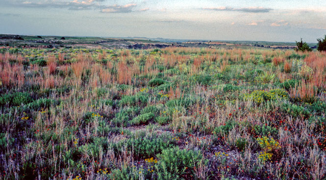
From near the same area. It's not easy walking in such tall grass.
The
Neosho River.
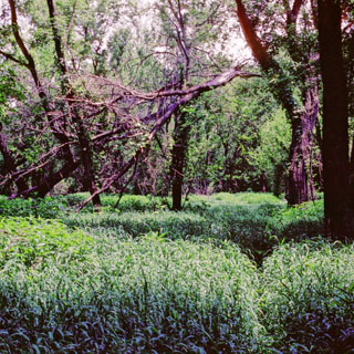
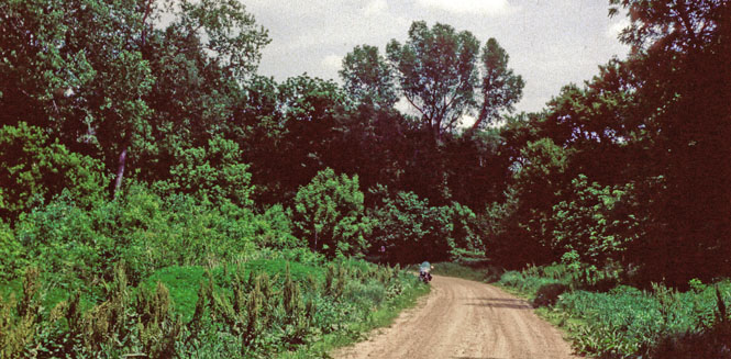
A dirt road in the same area.
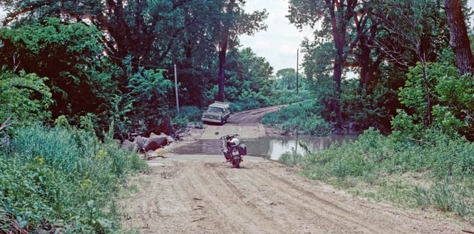
This crossing looks tame enough., and I probably could have done it.
But the water was flowing pretty quickly, and it was about a foot deep.
I would have felt pretty stupid if something happened and since I didn't
need to be on the other side any more than I needed to be on this side, I
didn't try.
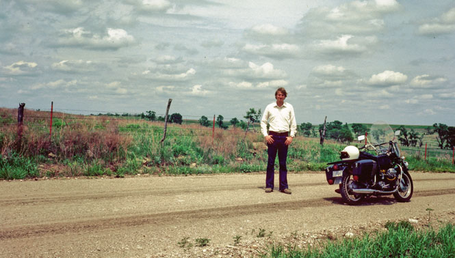
Miles and miles of stone fence posts.
The camera is on one of the stone posts.
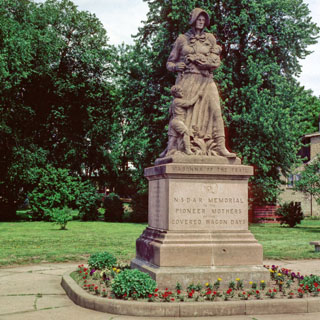
Council Grove, Madonna of the Plains. You'll see similar monuments
along the route of many of the old trails. Always with stout looking
women, and children who are oddly out of proportion.
The old school house near Strong City. [note: this area is now part of the
Tallgrass
Prairie National Preserve]
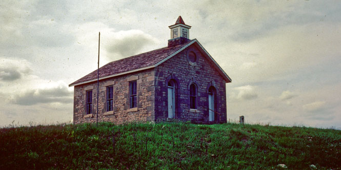
The same school, looking out over the
South Fork River Valley.
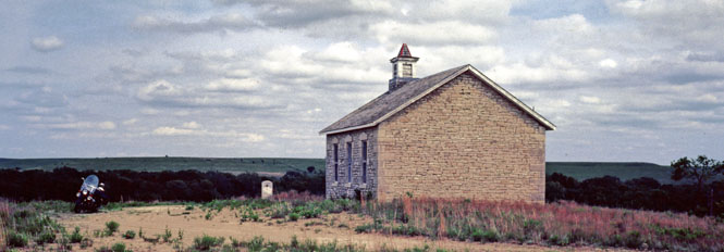
Highway 177 passes in front of the school.
[note: the dirt road up to the school is no longer open to the public]
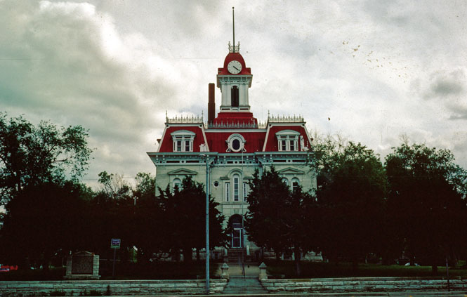
Cottonwood Falls courthouse. This is
the oldest courthouse in Kansas--I'd guess somewhere after 1885.
 Oklahoma
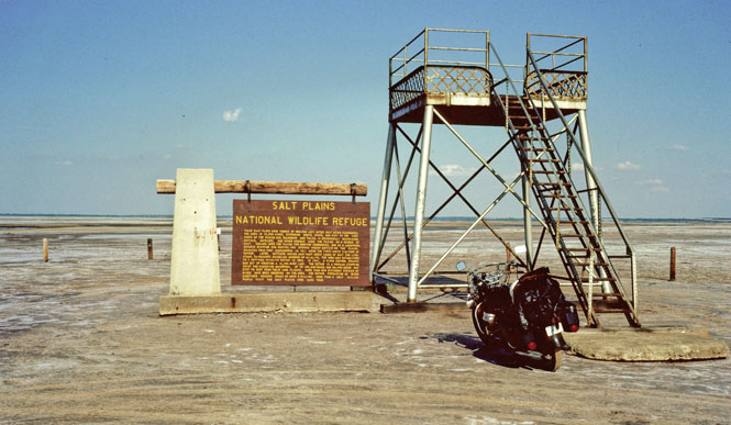
Salt River of Oklahoma
The
Salt Plains National
Wildlife Refuge. I had crusted salt all over
the tires from riding to this spot.
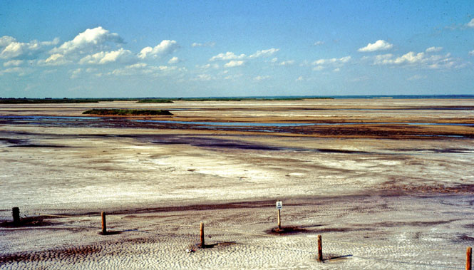
A picture taken from the platform.
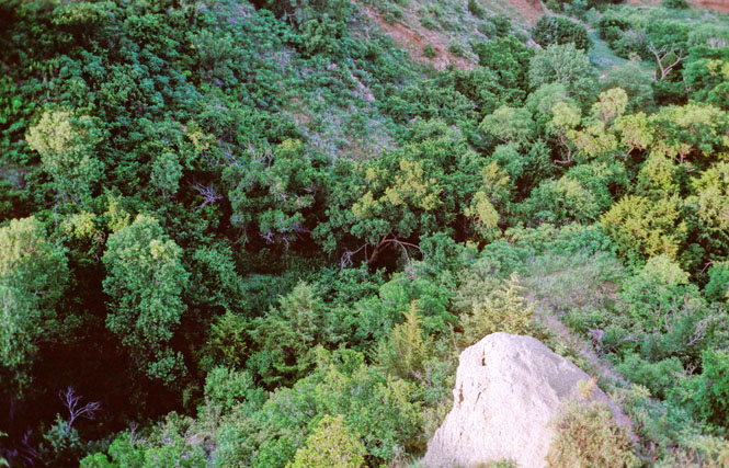
Alabaster Caverns State park not far from
Alva, Oklahoma. The caverns are somewhat beneath me.
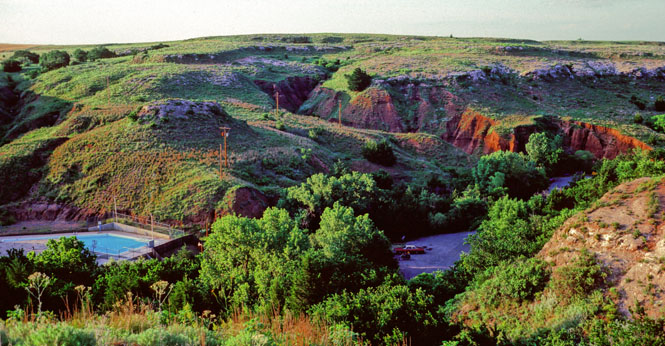
I took the ($2.00) tour, and had two
guides just for me. One was in training. The caverns are
noteworthy for having Black Alabaster--apparently one of the few places in
the world where you can find it.
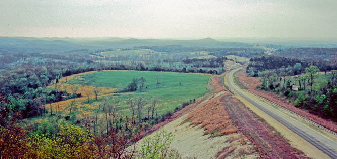
A quintessential view of Oklahoma.
home
last edit: 3/10/2007