July 4, 2006

 Kansas
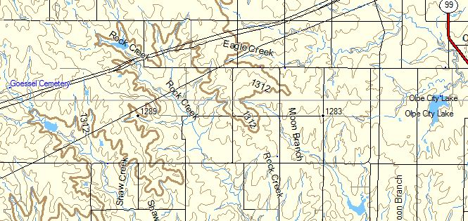
Goessel Cemetery shows on a topo map as being inaccessible from any road, and not near any town (Olpe, Kansas being the closest). You'll see the label for the cemetery on the left.
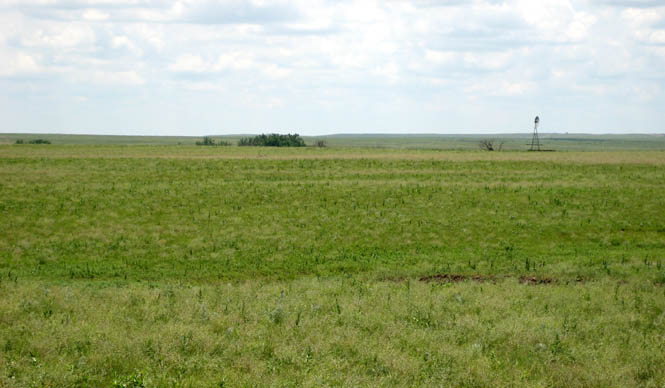
From Matfield Green, take the dirt road east out of town, and (30 miles later) assuming you've made the right turns, you'll be near.
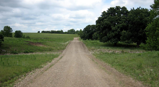
Although the topo map showed this road continuing for a little more than a mile more, the gate suggested otherwise.
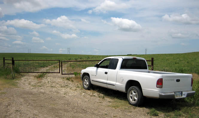
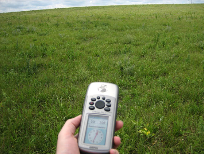
Enter the cemetery location in the GPS and just follow the needle. There will be no path.
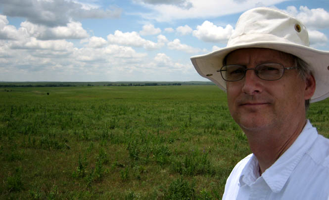
A compass (or GPS) is really a requirement for walking through the Flint Hills. It's amazingly easy to get off track if you don't mark a spot on the horizon to aim for.
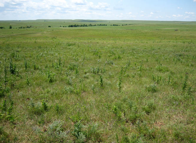
At this point, it's looking like the cemetery is down in those trees.
The GPS says I am just 0.13 miles from my goal (just a little to the right of my path), but I sure don't see any sign of a cemetery or anything else.

This is it! But, there's nothing here that I can find. The ground seems too low for a cemetery, and seems too low for a house. And yet, there were a number of trees that were probably planted many years ago, so somebody at one time made an effort. I crisscrossed the whole area, but could find nothing more than a single old wooden fence post to indicate that anything had ever been here. Not likely that the Goessel Cemetery gets many visitors.

I had an audience for my walk back to the truck.
