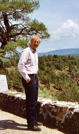
June, 2007

A driving trip by Awanna and Daniel. The general goal was to see eastern Oregon, with a possibility of extending into Idaho. The Hart Mountain National Antelope Refuge and the sites around Fort Rock and Joseph, Oregon were really the only locations that were at all definite, although there were a number of other places that were marked in the AAA tour book. As usual, we would just see what made sense each day.
 California
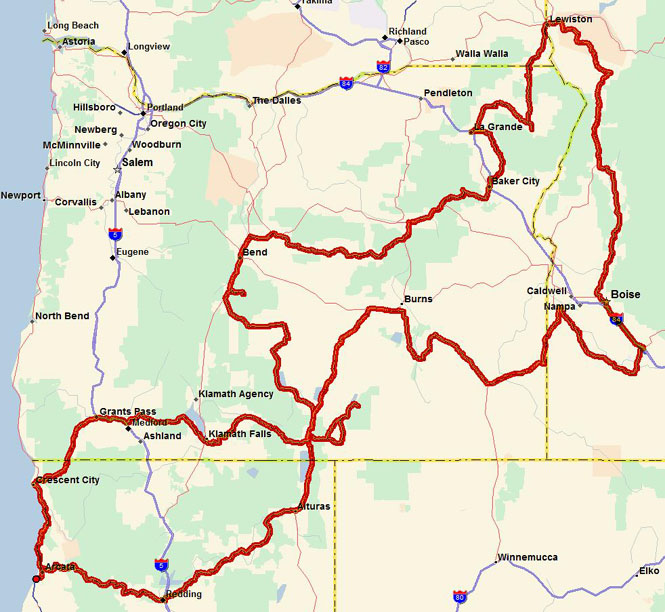
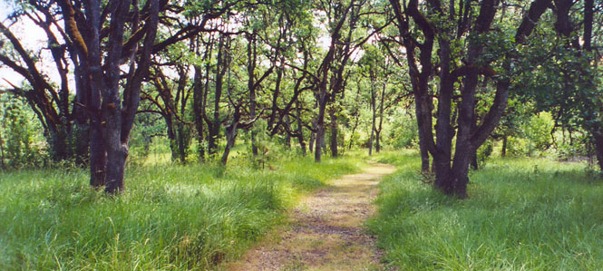
We left Eureka on CA-299, following the Trinity River. Even though this highway has been straightened and widened (and probably made safer) over the years, it is still one of the nicer ones to ride or to drive.
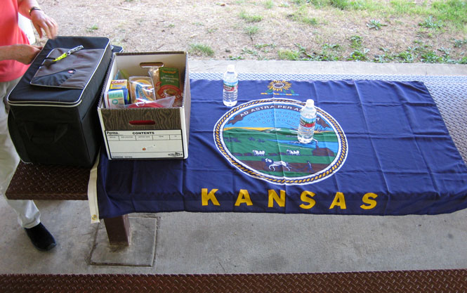
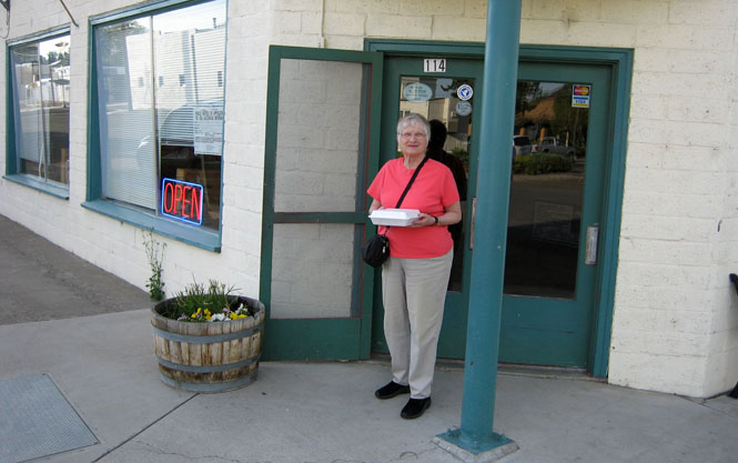
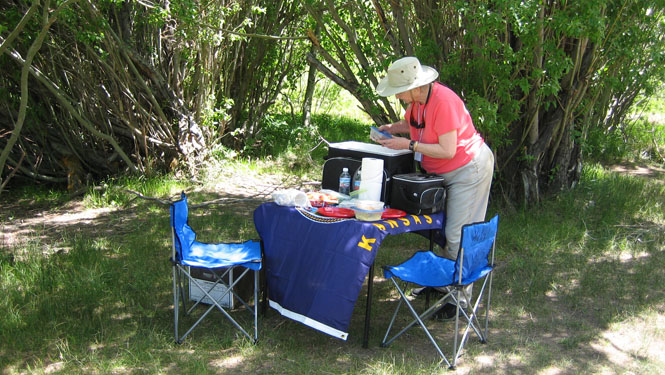
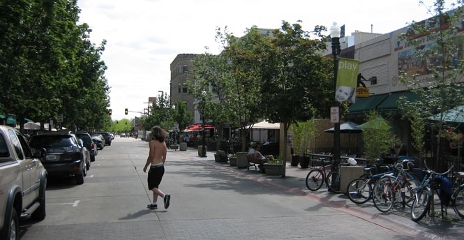
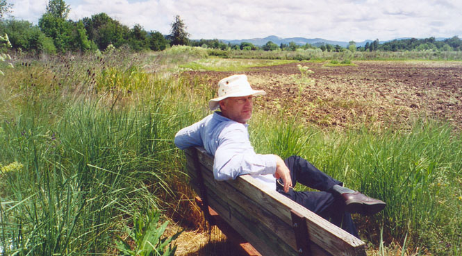
Stopping at the city park in Weaverville for lunch. Yes; that is a Kansas state flag. No disrespect is intended...
We stayed on CA-299 at Redding, crossed the upper Sacramento Valley and climbed into the Cascade/Sierra range (I'm not sure which name applies to this area). That's probably the Pit River way down there. The lava flows are quite thick in this area, making for spectacular river canyons and waterfalls.
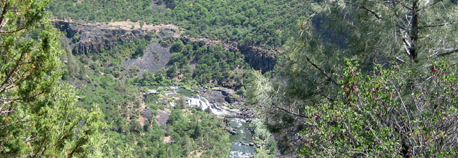
Dropping down into the valley, we are approaching Fall River Mills.
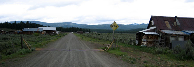
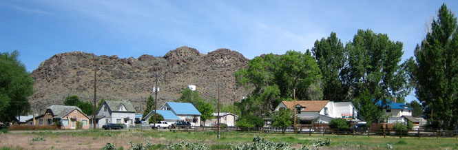
The small town of Nubieber (which is just across the tracks from Bieber).
Alturas, California was as far as made sense this first day. Dinner was at a local pizza restaurant.
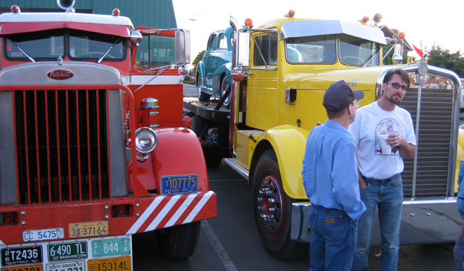
A couple of restored semi-tractors were in the parking lot. They were on their way to a national meet. Both of these trucks (Peterbilt on the left, Kenworth on the right) date from the early 1950's.
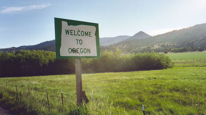
 Oregon
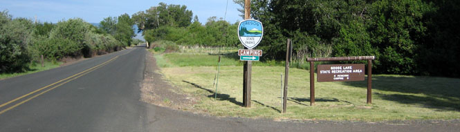
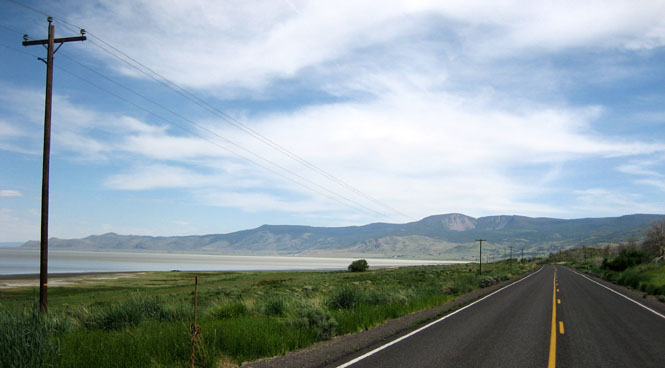
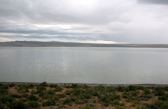
Half of Goose Lake is in California, and the other half is in Oregon.
Goose Lake State Park is at New Pine Creek, Oregon.
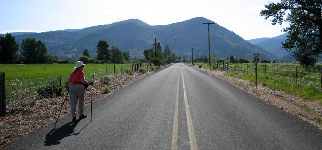
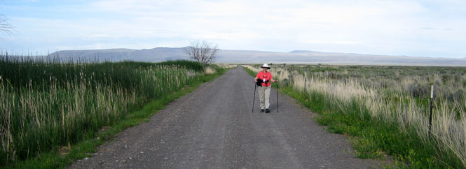
Awanna walking east into New Pine Creek (away from the lake) while Daniel retreats to get the car.
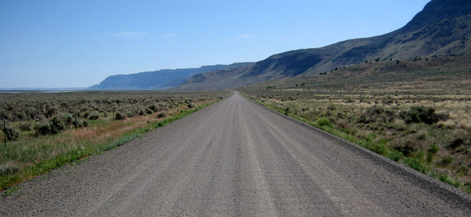
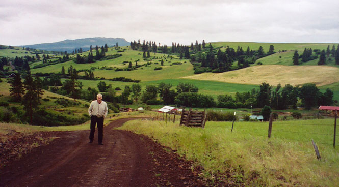
To get to Hart Lake, drive north of Lakeview for a few miles, turn east on OR-140 and then follow the turn-off for the town of Plush.
That's Hart Mountain, off in the distance (below). We still haven't reached the town of Plush.
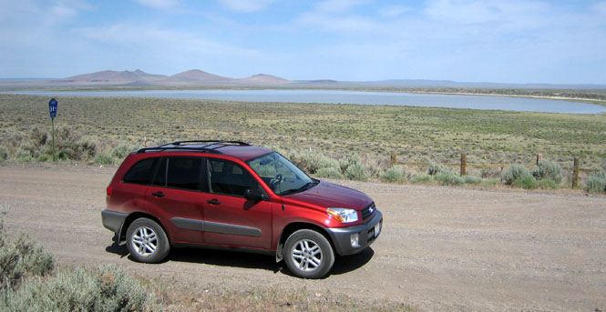
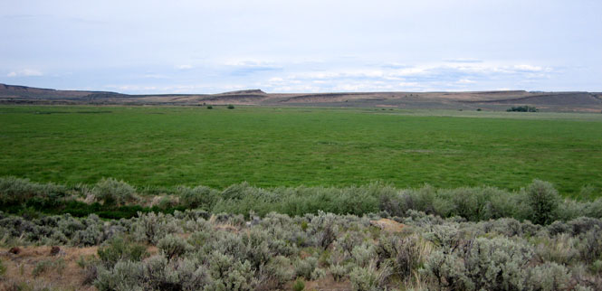
Beyond Plush, the road curves around Hart Lake. It's not likely that this lake is very deep--the birds love it.
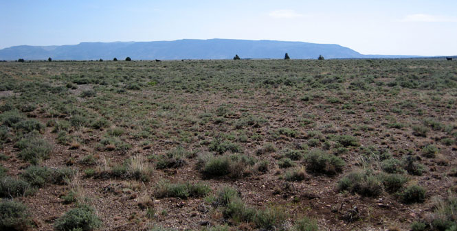
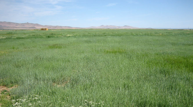
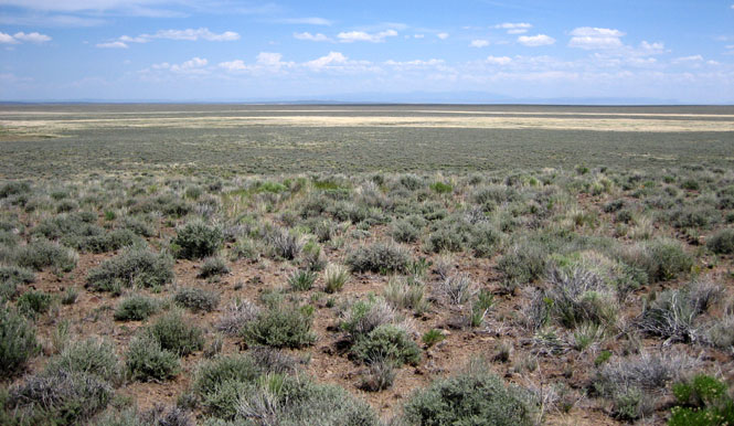
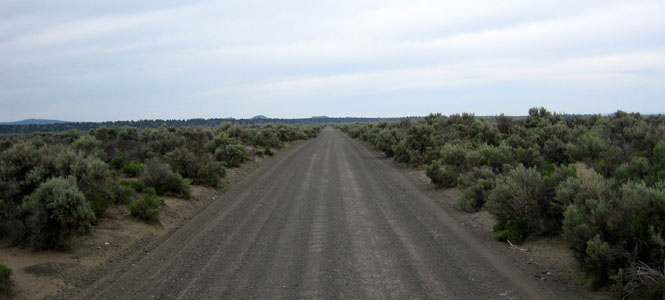
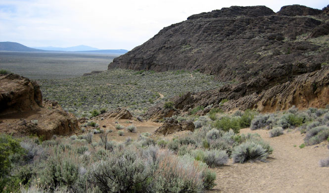
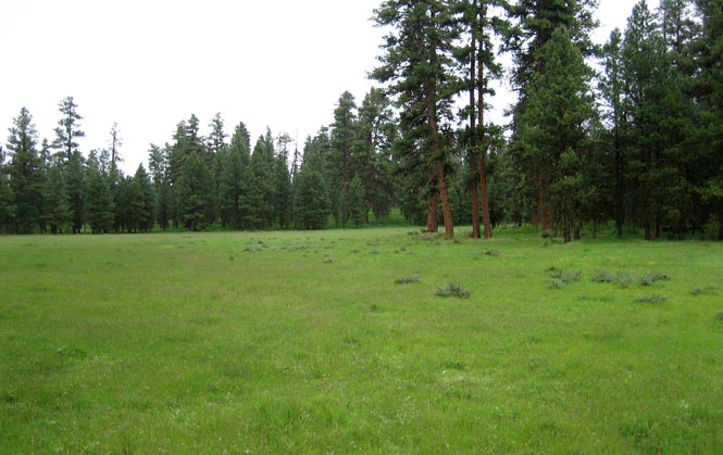
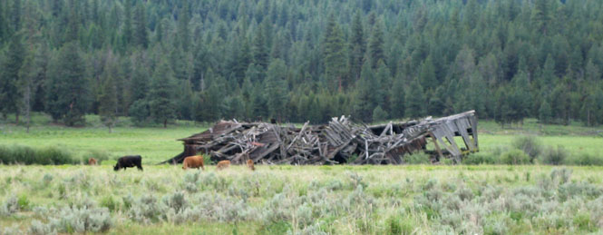
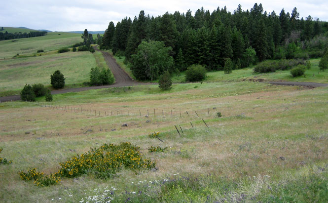
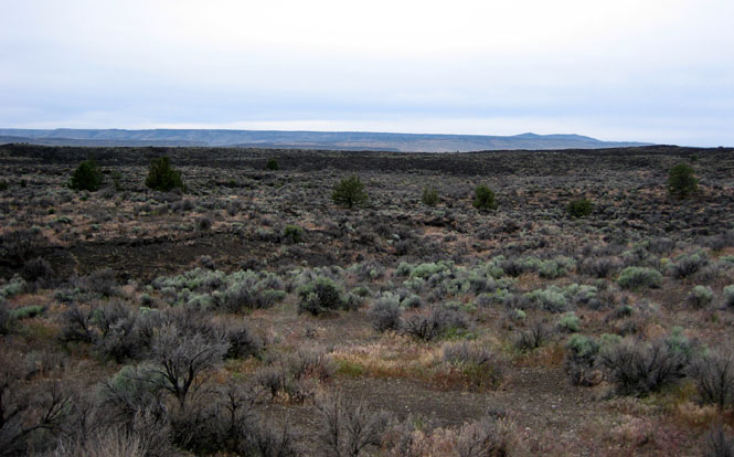
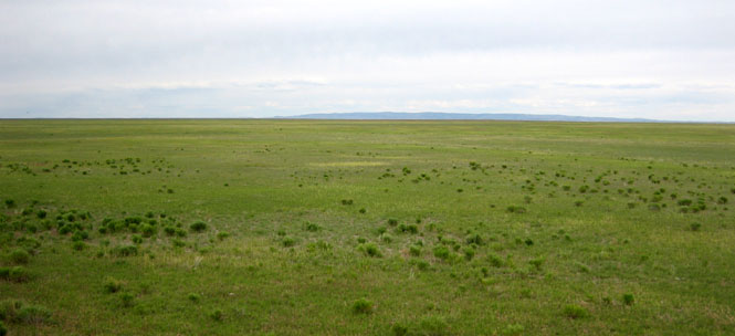
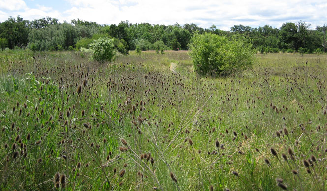
Grasslands and wetlands in the high desert. This is an unexpected place.
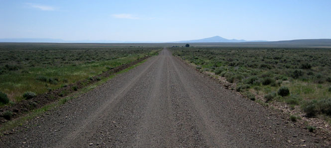
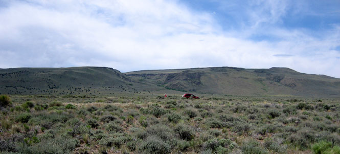
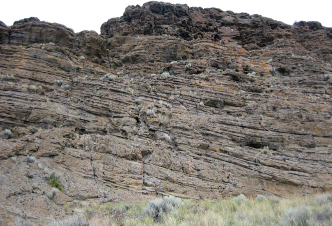
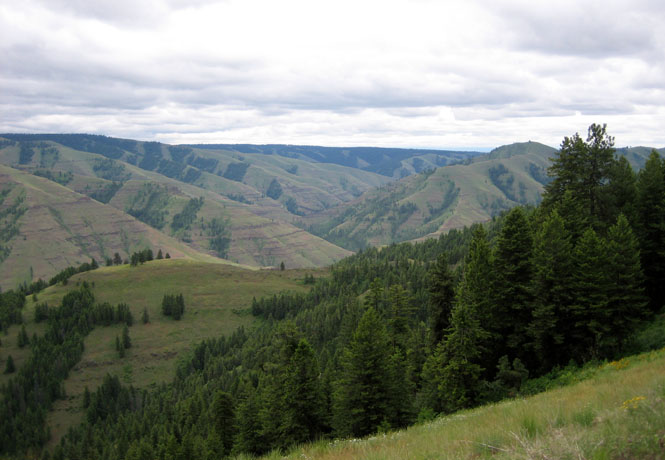
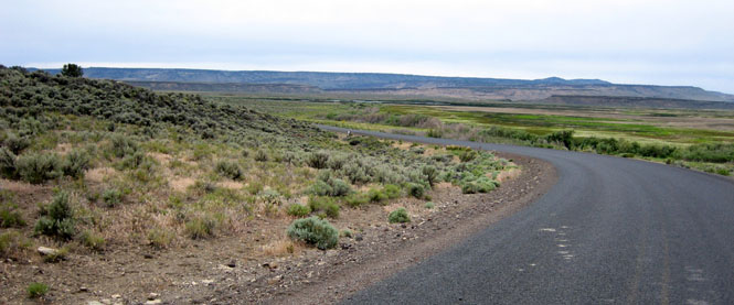
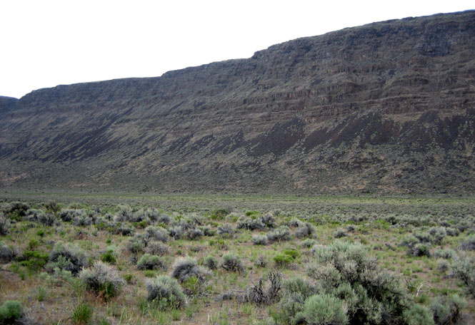
We're now running parallel to the western front of Hart Mountain. Eventually, the road turns to the right and climbs.
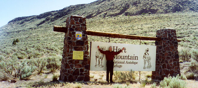
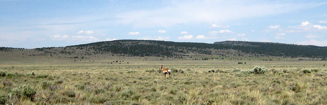
The Hart Mountain National Antelope Refuge.
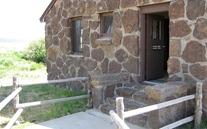
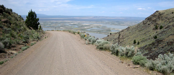
After climbing over the ridge, the road slowly descends on the other side. That's the visitor center off in the distance (below)--just to the right of the apparent direction of the road.
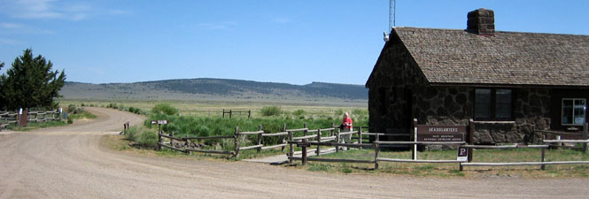
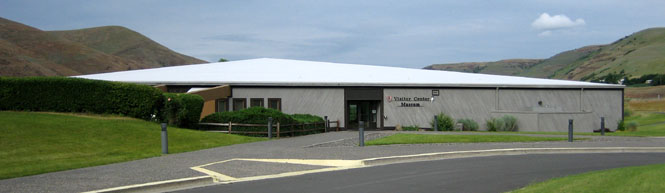
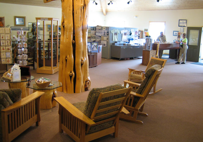
The visitor center is open 24 hours, although you should not expect to find anybody there. Inside were a number of brochures and displays and maps of the area (as well as a nice restroom).
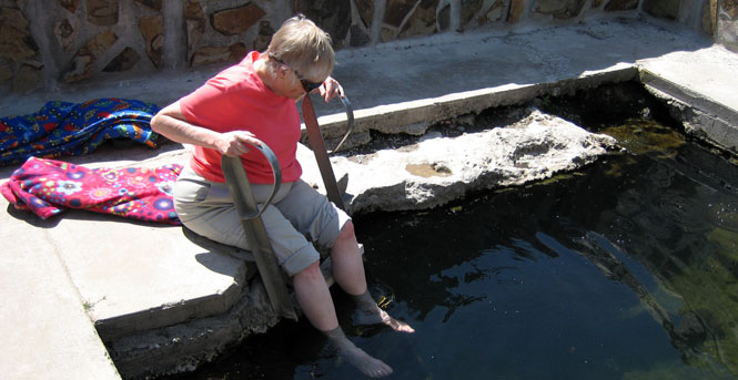
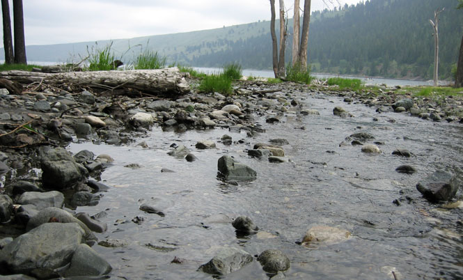
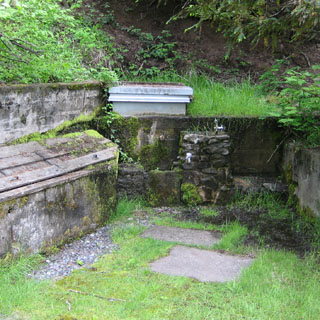
We continued along the dirt road to the warm springs. Certainly, you would not expect to find something like this. The first pool had been "improved" with a stone wall and a concrete walkway.
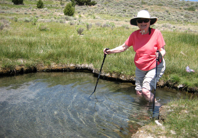
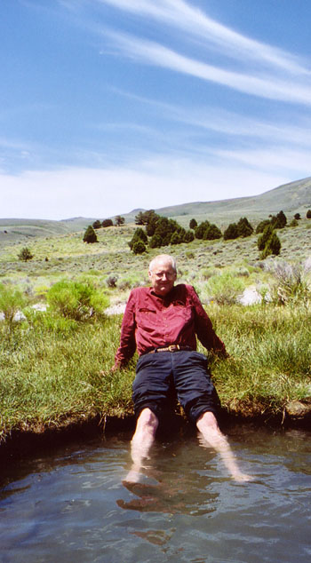
Further upstream from the improved area was this unimproved pool. This was much more like it. The bottom looks like sand, and I suppose it is, except that it has the texture of coarse ground rocks with tiny sharp edges. The water was warm, but not hot. It had a slight smell of sulphur, but not so much that you really even noticed.
We had lunch at the campground just upstream from the warm springs.
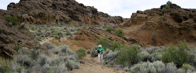
Along the drive back to the visitor center.
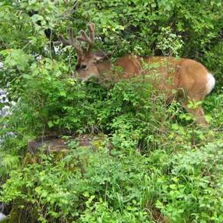
This was an antelope refuge, after all, so it was nice to actually see an antelope.
Returning to the valley along the same road we drove in. This gives you an idea of the wetlands, as well as the steepness of the mountain side.
We returned through Plush (again) but then diverted to Adel to intersect OR-140.
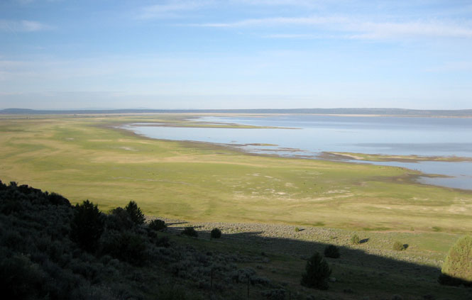
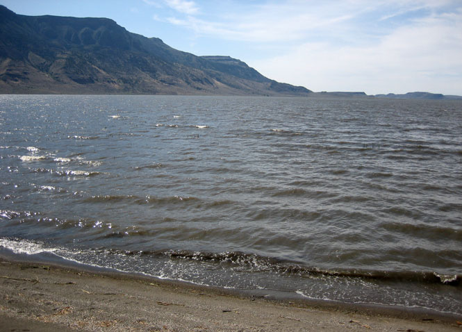
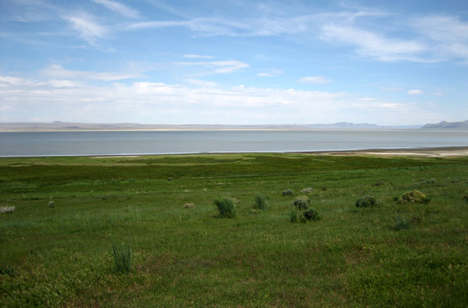
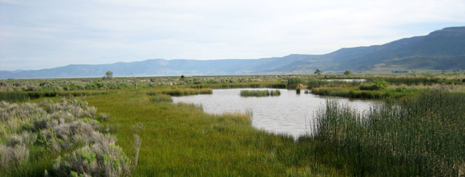
This is Summer Lake.
We stayed the night at the small town of Summer Lake, Oregon.
That evening we walked through part of the bird refuge along the lake.
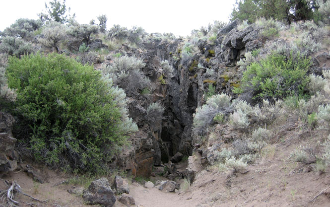
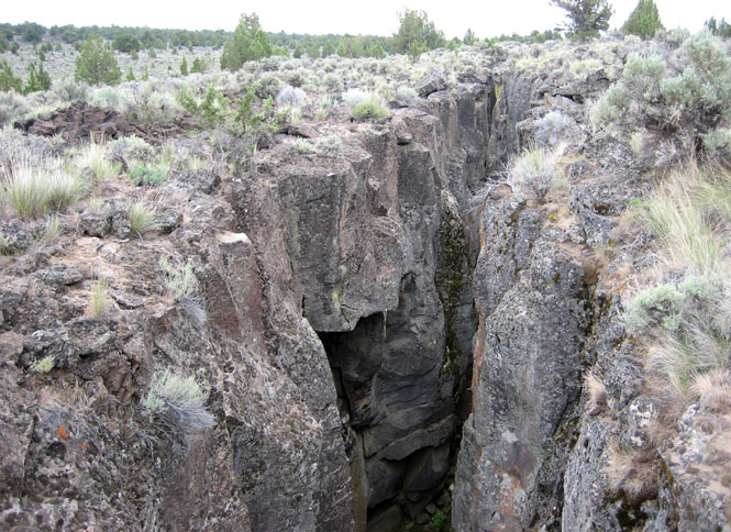
The town of Christmas Valley is an unexpected place. It seems to be a planned retirement community that never quite got off the ground. Just east of town, we turned north on the dirt road to find Crack-in-the-Ground.
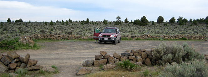
The parking lot at Crack-in-the-Ground.
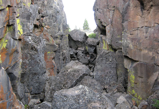
The view looking to the south (the entrance taken)...
...and, the view to the north (the entrance not taken).
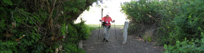
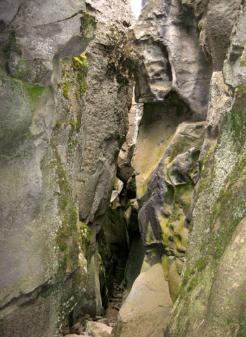
Look at the bottom of the photograph (below)--that's the pathway. At times it was too narrow to walk without turning sideways (and making yourself as thin as possible).
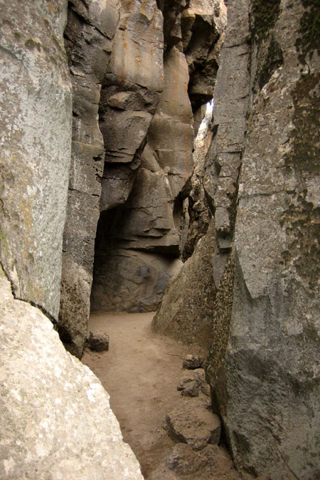
Other places, the path was smooth and (relatively) wide.
And, in some places, you had to do some climbing.
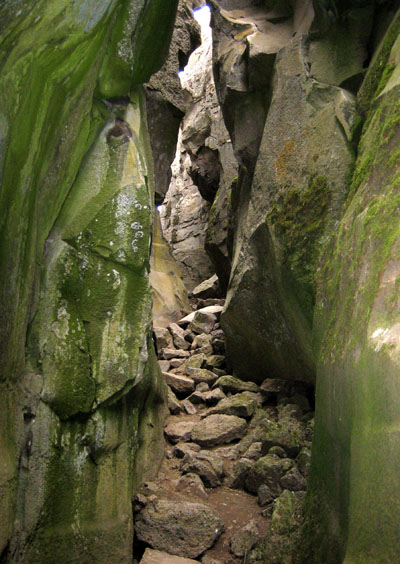
If you didn't know that the crack was there, you could easily just step right into it.
View the crack in GoogleMaps.
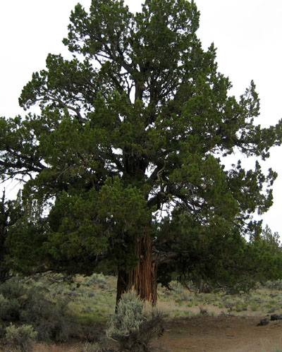
There were some big, old trees in the area.
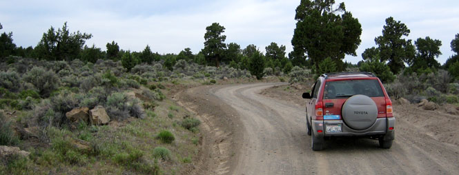
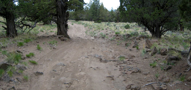
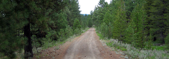
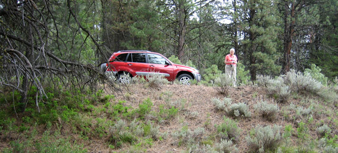
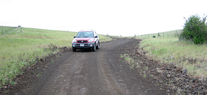
Continuing on the same road--north of the crack. At this point, the road wasn't looking too good, so we backtracked just a bit and found another road that was comparatively smooth.
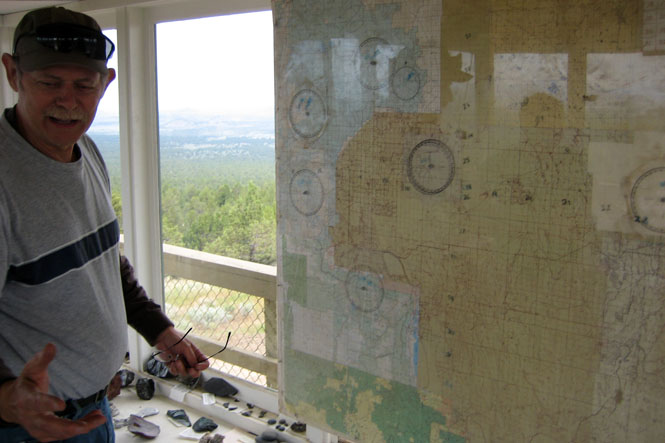
This took us to the top of Green Mountain...
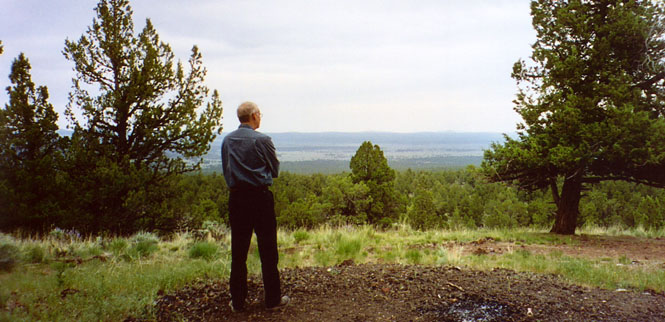
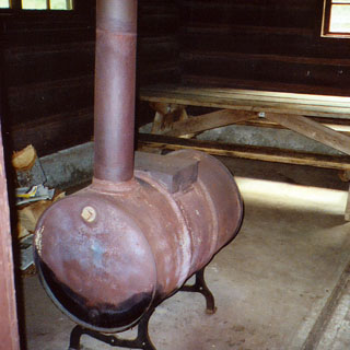
...where we found the Green Mountain lookout station.
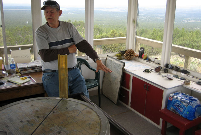
One suspects that visitors make a nice diversion from the monotony of the job.
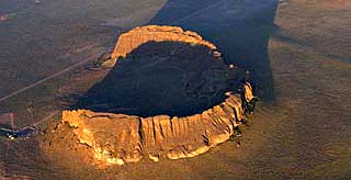
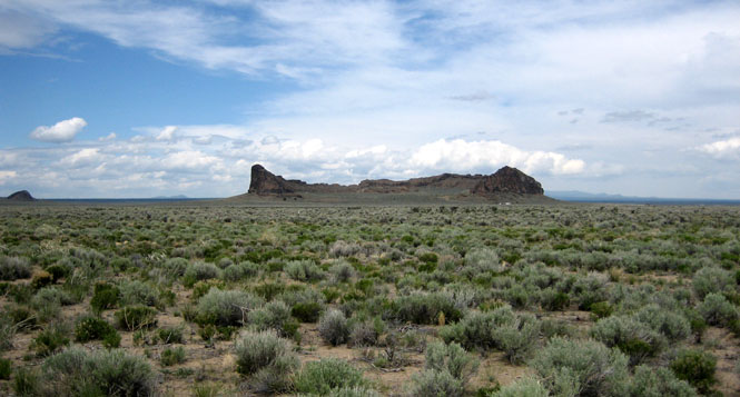
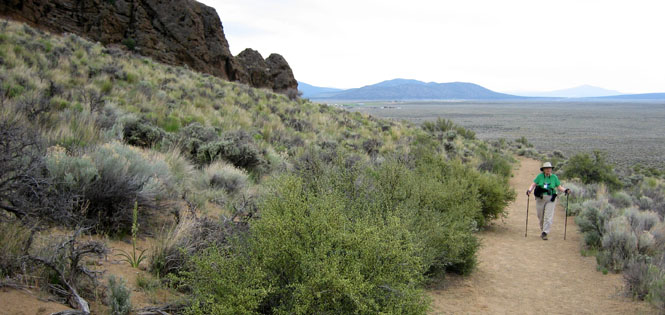
Fort Rock was never a fort, of course, but is the remnant of an old volcanic plug, long eroded by wind and waves (from the lake that was once here). People have lived here (off and on) for thousands of years.
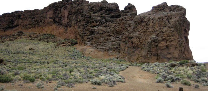
We hiked into the center of the formation, and did a large loop before returning to the base.
Hole-in-the-Ground is the result of what might be called a "sputter" of volcanic action. It was apparently a single-event thing, and probably put out a fair amount of debris and dust. I wouldn't have wanted to be near when it happened (but, people were here).
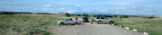
It was about seven miles off the highway along this dirt road to get to the hole-in-the-ground.
We had lunch at the rim, but saw no reason to walk to the bottom.
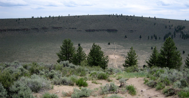
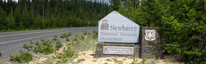
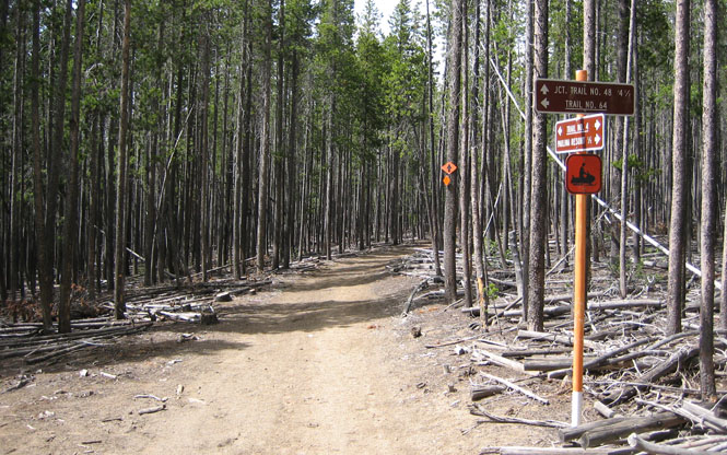
Paulina Lake is part of the Newberry Volcanic Monument.
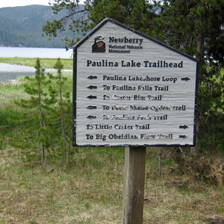
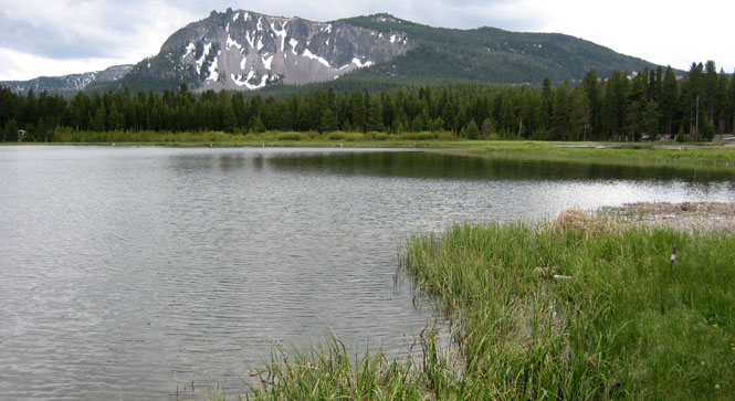
We walked along the snowmobile trail (which explains the very high signs), which circles the lake. We didn't go more than a mile, or so.
That night was spent in Prineville.
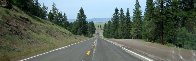
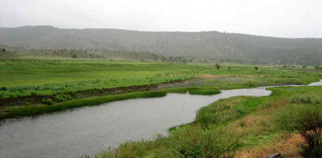
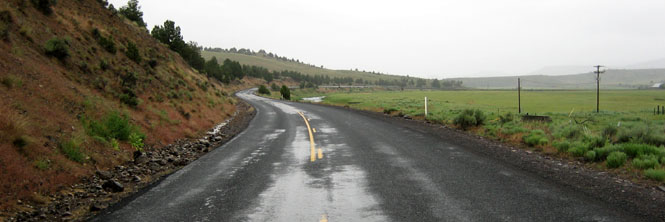
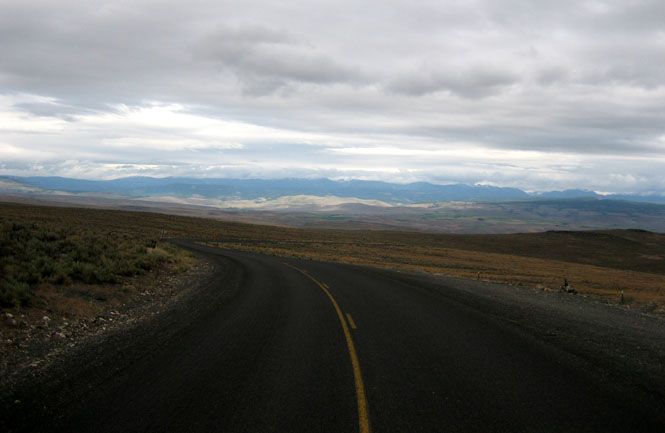
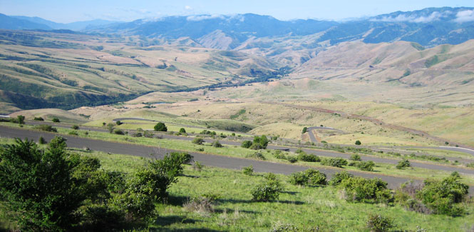
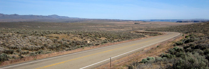
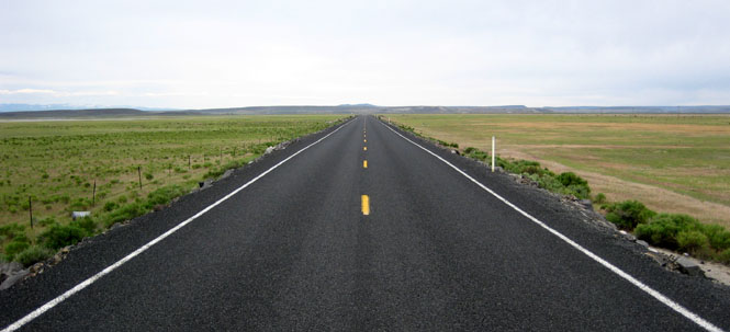
The next morning, we dropped south from Prineville to pick up OR-380. There are options for driving across eastern Oregon, and either US-20 or US-26 are the normal choices. So, we were virtually alone on our road.
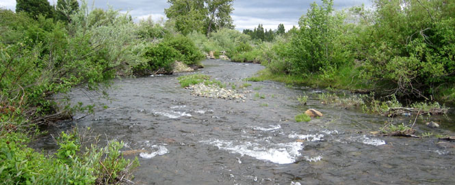
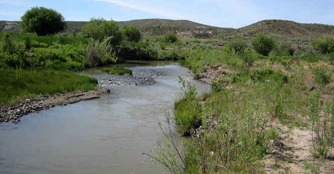
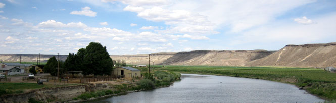
The Crooked River.
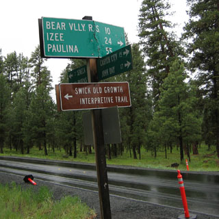
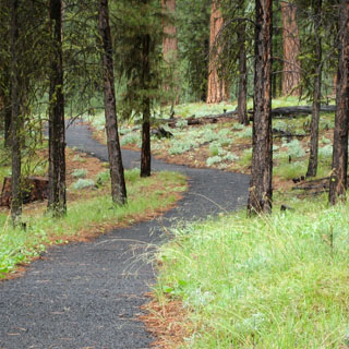
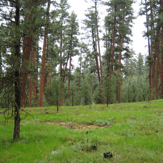
Near the junction with US-395 we stopped at the Swick Old Growth Interpretive Trail. It didn't look as if very many people had ever stopped here as the facilities were unused and quite in good shape.

This was a nice trail that looped around the forest for about a mile.
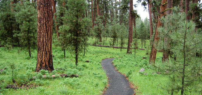
There was a light drizzle most of this day, but it wasn't ever so bad that it interfered with walking.
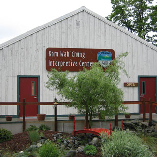
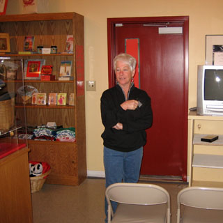
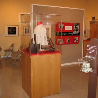
We stopped at John Day, Oregon for lunch and to see the Kam Chung museum. The interpretive center was open, but the old general store (now museum) that Kam Chung ran in the early days of John Day was closed for repairs. The interpretive center explained the history of many of the original China Towns that were once all over the western states. Most are now gone, but remnants do remain.
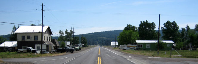
We turned north on OR-7, heading towards Baker, Oregon. This is Whitney, Oregon. There's not much left.
Whitney was once served by a narrow gauge railroad. This is the old right-of-way. Naturally, we drove out on this road before intersecting back with OR-7 (it helps to have GPS, so that you have some assurance of where roads like this will end up).
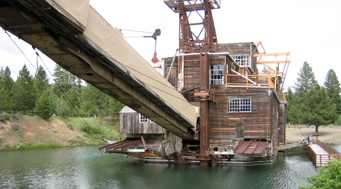
Sumpter, Oregon once was a major gold mining center. The gold was extracted using a dredge--which is still here.
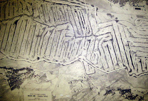
This old aerial photograph shows the extent of the dredging. You can see the tracing of the original creek, as well as the trees, to give you some idea of the scale.
The dredge only needed enough water to float. It created its own lake as it moved slowly along.
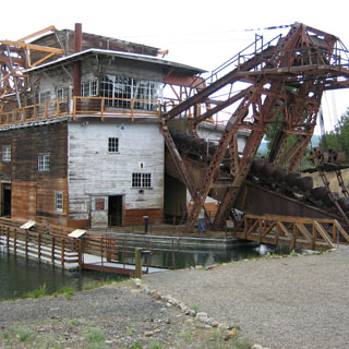
It operated 24 hours, and must have been incredibly noisy.
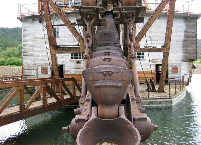
All the rocks and muck (presumably with the gold removed) dropped out this end.
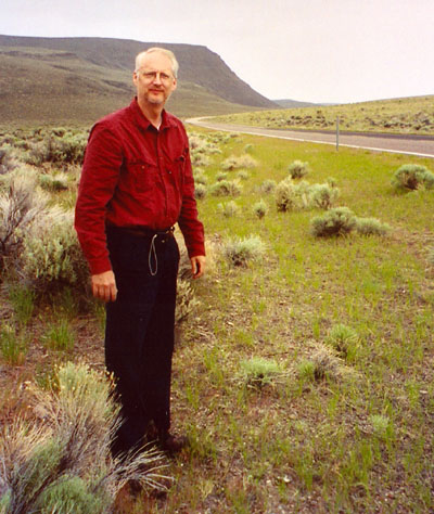
At Baker we turned on OR-203. This is the view looking north to the Wallowa Mountains.
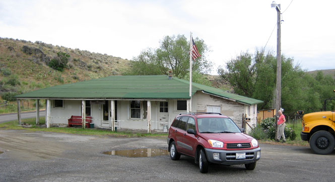
There's not much to Medical Springs, Oregon except what you see in the photograph, as well as a larger building to the left.
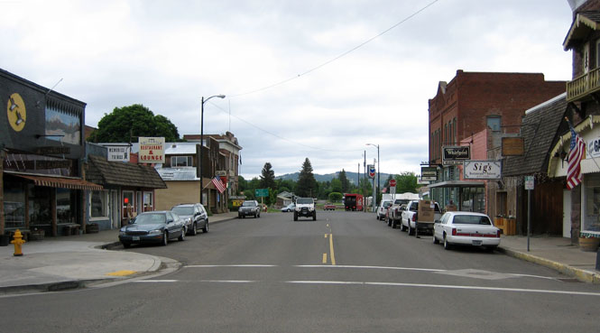
Union, Oregon has a nice feel.
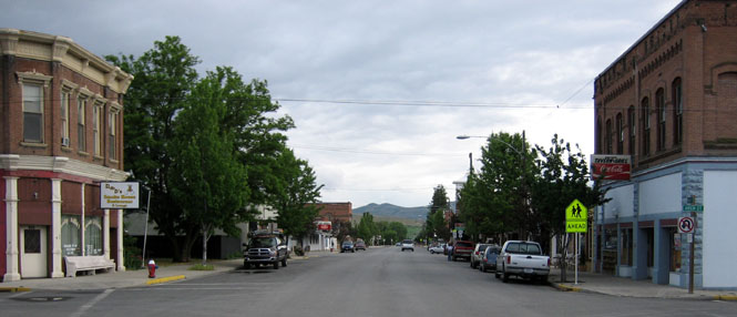
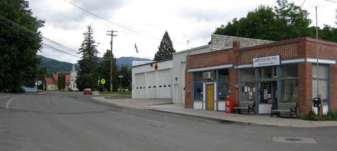
It was hard to find the center of Cove, Oregon. The post office will have to do.
We stayed the night at La Grande, Oregon.
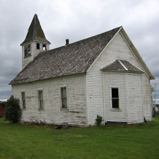
Elgin, Oregon
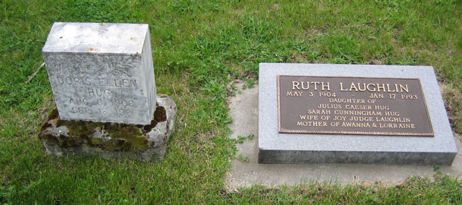
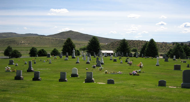
The stones for Doris Hug and Ruth Laughlin at the Elgin cemetery.
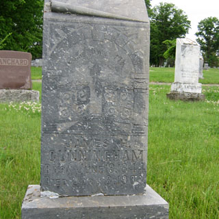
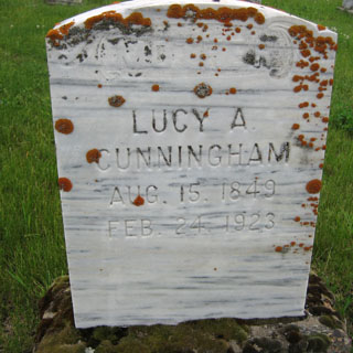
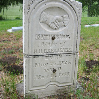
The headstones for James Cunningham and Lucy Cunningham are in the Elgin cemetery, while the stone for Catherine Breshears is in the cemetery on Good Road.
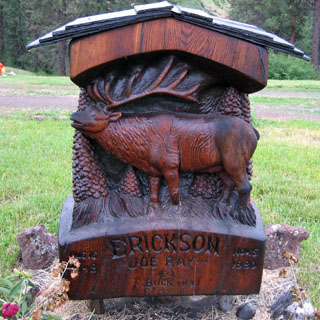
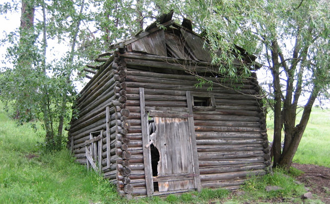
This elaborate carved wooden marker is in the Elgin cemetery.
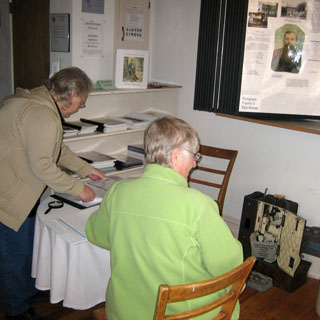
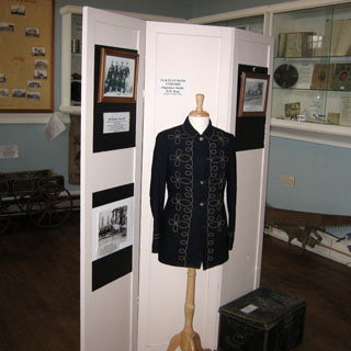
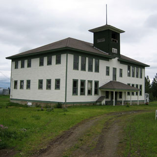
The Elgin Opera House where Ruth Hug played the piano during the silent movies.
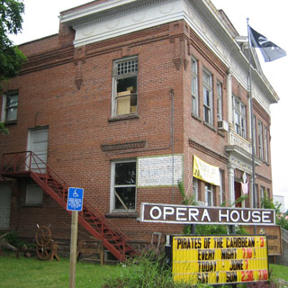
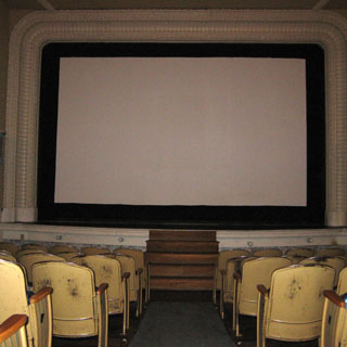
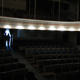
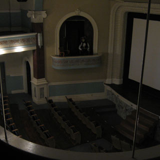
There's a nice museum inside the Opera House, which has plenty of family photographs.
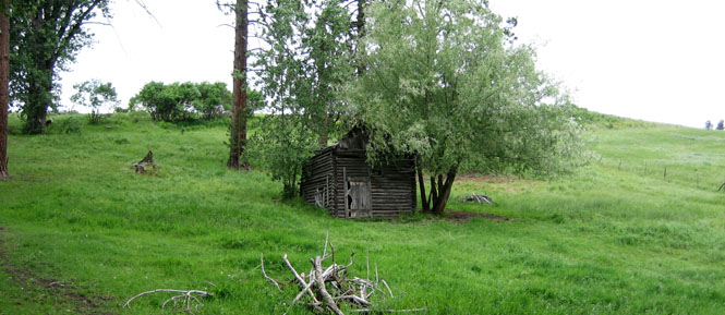
At the Henry Hug family home site.
“..Henry found a place to his liking some three miles due east of where Elgin was later built. He delighted in his home on Cricket Flat where he could have good fields to farm, and yet be quite close to big timber.”
Under the wire...
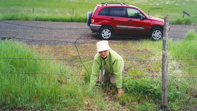
Awanna retrieving an old tin drinking cup, which was hanging on a nail.
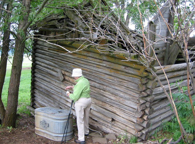
Henry did good work...
“...which title was acquired for under the Timber Claim Act. This provided that for each two and a half acres set to trees with a specified number surviving a title would be given for forty acres. The limit that could be thus obtained by one person was 160 acres, which would necessitate planting 10 acres in forest. Some claims were set with cottonwood because they were easier to start. Others were set to native ponderosa pine.” “Julius and Fridley Hug both took up Timber Claims. In later years a beautiful stand of pines and other trees were enjoyed by others.”
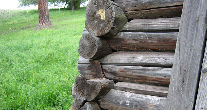
The original stand of timber along Henderson Road.
We continued driving along Henderson Road, which eventually looped back to Elgin.
We arrived in the afternoon at Joseph, Oregon and the home of Sandi and Larry.
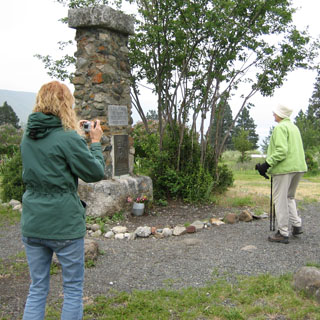
At the (old) Chief Joseph grave near the lake.
Where the streams feed the lake.
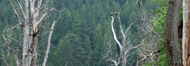
Bald Eagles keeping an eye on things.
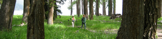
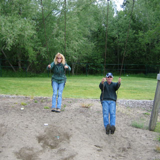
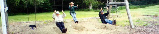
Sandi and Awanna walking (fast) through the woods.
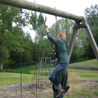
It seems that somebody (I'll guess their age to be not more than 14) had looped the swings over the upper support. So with a cooperative effort, things were put right.
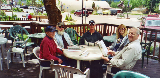
After lunch (the next day) in Joseph with Sandi and Larry and Lorraine and Mike, we were on our way.
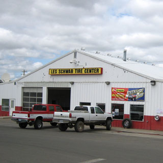
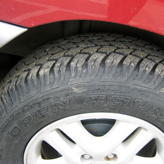
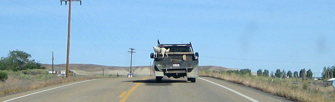
It might have been easier (and more sensible) to get new tires before starting the trip, but Enterprise had what we needed.
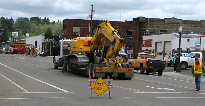
Sadly, there had been a downtown fire the night before, and it looks like this corner building will not be recoverable.
Driving north out of Enterprise along OR-3.
Flora, Oregon
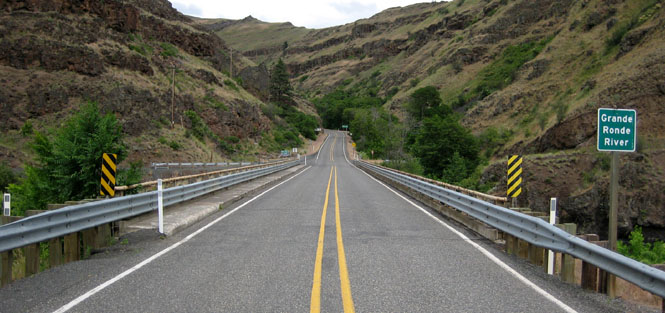
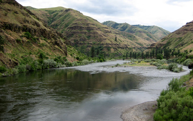
Driving down to the Grande Ronde River.
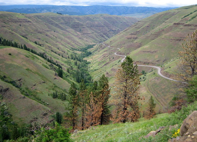
The bridge across the river.
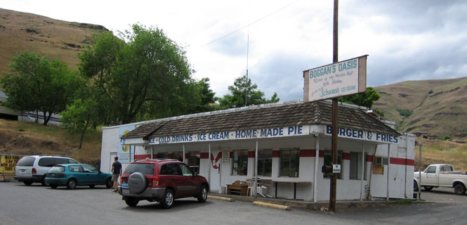
Nobody would argue that Boggan's Oasis serves a great pie. Or even a good pie. But, it's all there is, and it's what you do.
 Washington
Fields Spring State Park.
 Idaho
Idaho
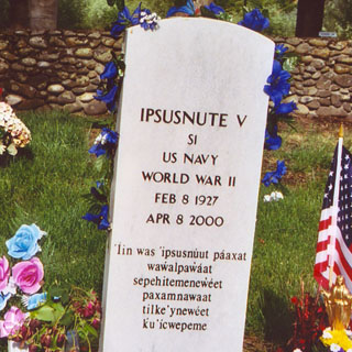
Spaulding, Idaho. We really didn't have time to do more than breeze through the Nez Perce Visitor Center, but we did at least have time to drive down to old Spaulding.
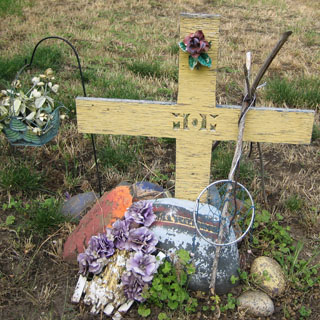
At the Spaulding Cemetery.
We spent that night in Grangeville, Idaho.
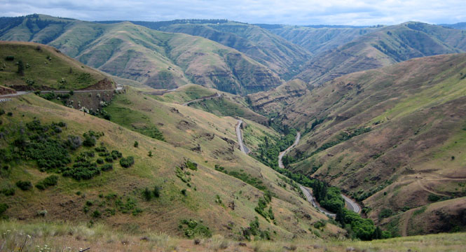
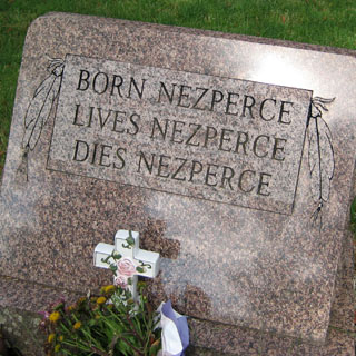
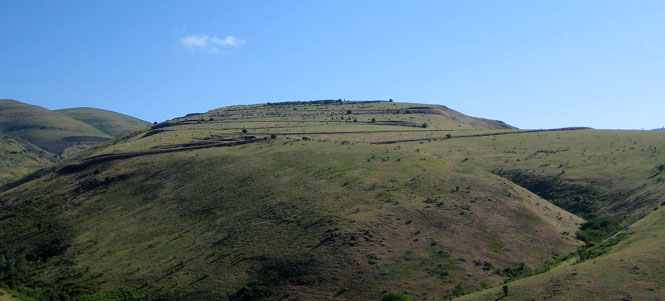
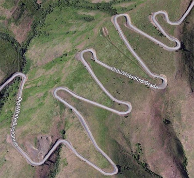
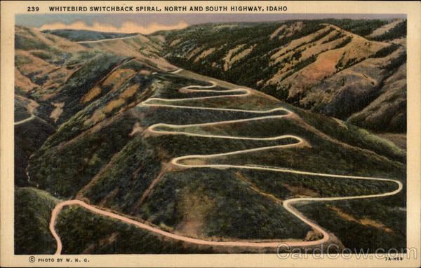
White Bird, Idaho is the site of the initial battle that began the flight of the Nez Perce (which stopped in Montana, and ended in Oklahoma). We looked, but could find no markers or even any mention of the battle. Meanwhile, this is also the site of the famous White Bird Grade (built by convict labor). This section of highway has long been bypassed, but the famous switchbacks remain--if you make the effort.
The satellite view:
From a postcard:
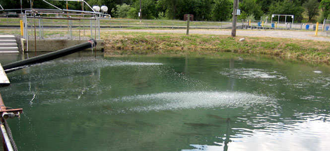
A Salmon hatchery near Riggins.
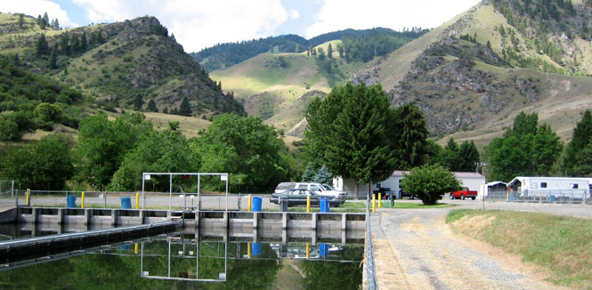
You can just see the fish, circling below the surface.
It's the end of the line for the males...
Driving down ID-55.
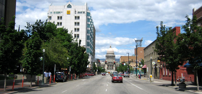
Boise, Idaho
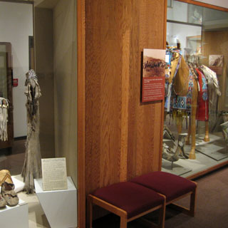
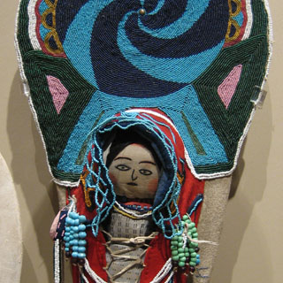
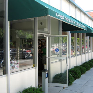
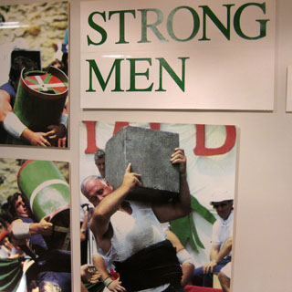
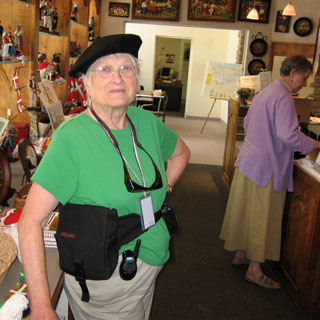
We walked through the downtown district and stopped in at the Basque Museum and Cultural Center.
Wearing a Basque txapela hat.
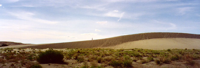
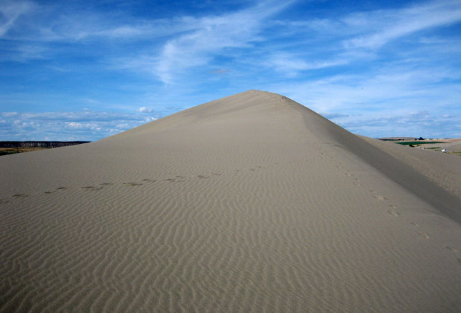
The Bruneau Sand Dunes State Park is an odd mixture of water and sand in the dry desert of the Snake River Plain.
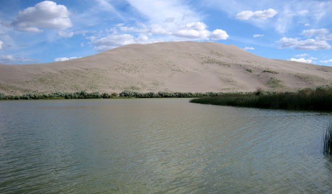
I couldn't get to the large dune (what with the water), so I claimed this smaller dune (and filled my shoes with sand for my effort).
We stayed at Mountain Home, Idaho for the night.
There's not a direct way to get to Jordan Valley, Oregon, so we diverted north to Marsing before heading south, again. This sort of zig-zag would be common.
Oregon
Along the Oregon / Idaho border.
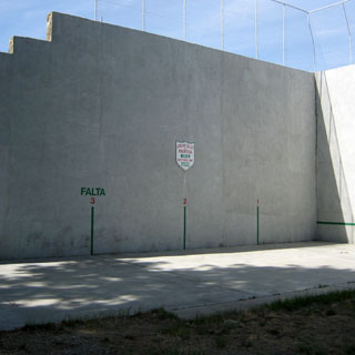
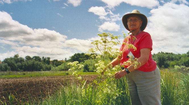
Jordan Valley, Oregon has a strong Basque heritage. A version of handball was very popular in all the Basque towns in the area.
The Jordan Valley cemetery.
The Owyhee River (pronounced similar to Hawaii, which is what was intended)
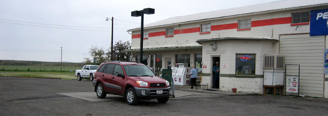
We stopped at Burns Junction, Oregon for lunch. In the background, you can see the entire town.
Driving north on OR-78 towards Princeton.
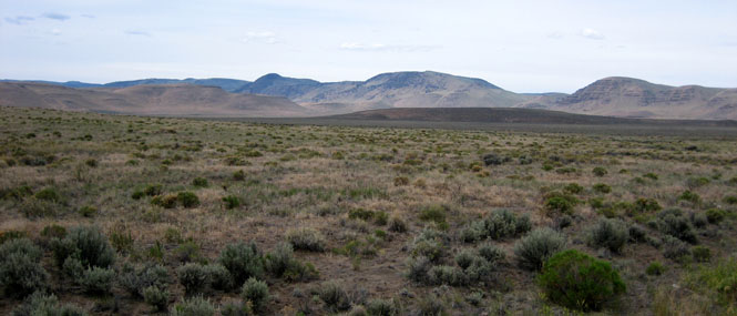
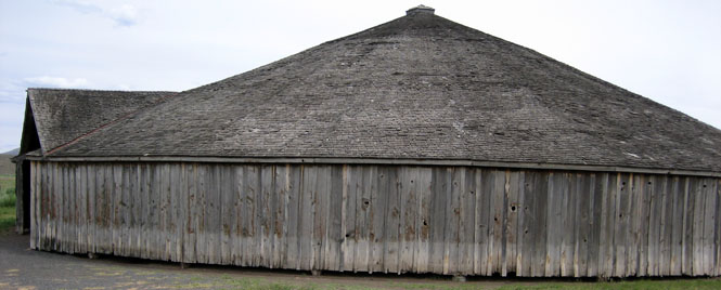
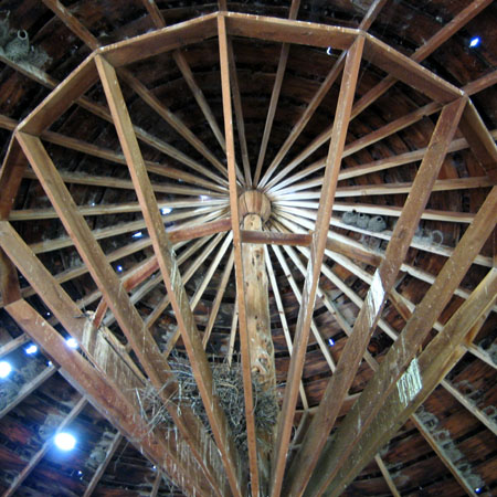
The Peter Finch Barn is well off the highway, between the towns of Princeton and Diamond. There were a few of these barns built in the late 1800's, and they were used for horse and mule training during the winter months.
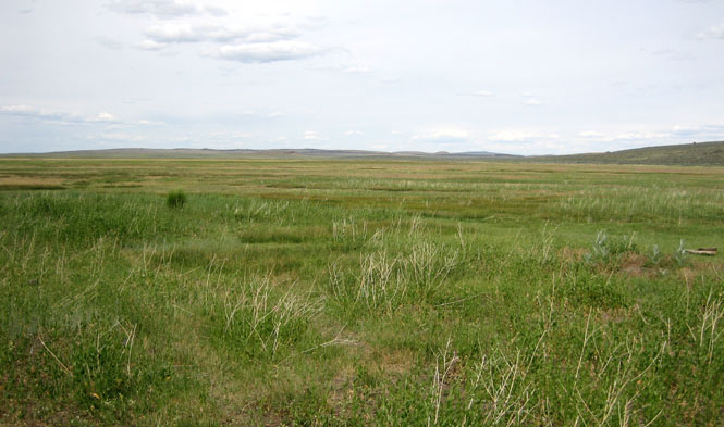
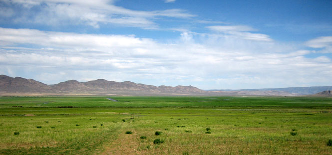
Driving across the expanse of Malheur Lake and the Harney Basin. Sometimes there's probably a great deal of water here.
Riley, Oregon.
Driving down US-395.
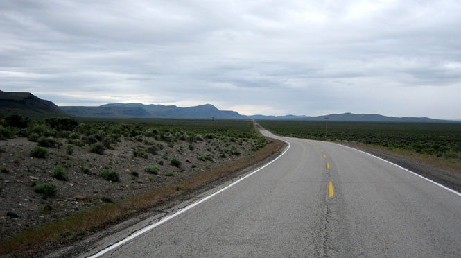
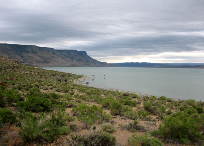
The Abert Rim next to Lake Abert.
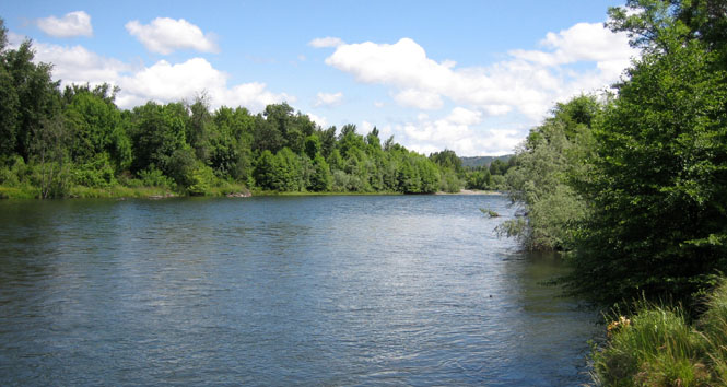
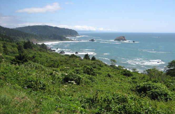
Tou Velle State Park (Rogue River) just north of Medford, Oregon.
California
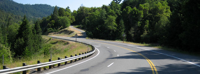
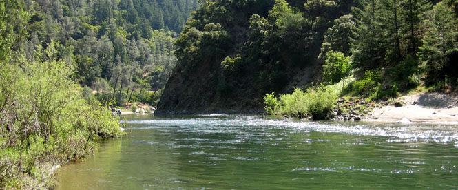
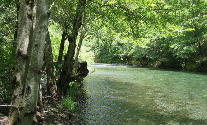
Along the Smith River on US-199.
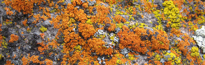
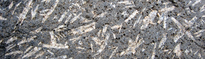
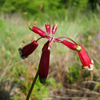
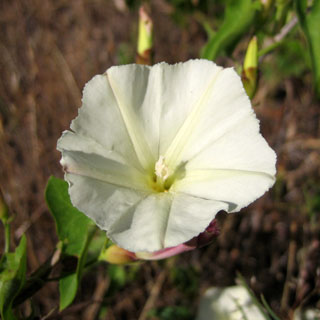
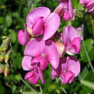
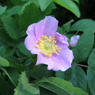
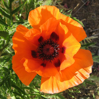
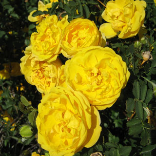
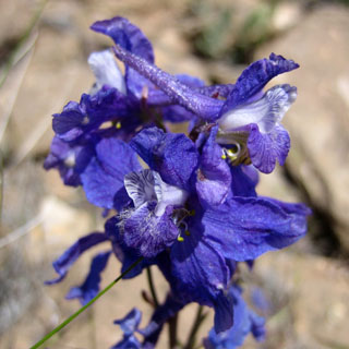
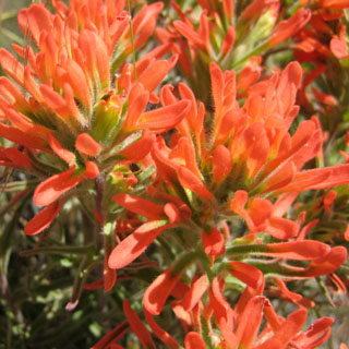
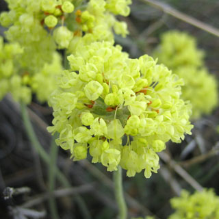
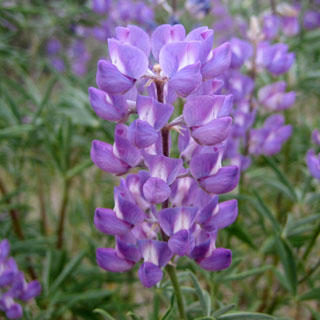
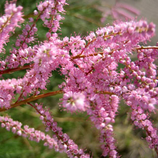
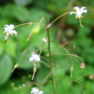
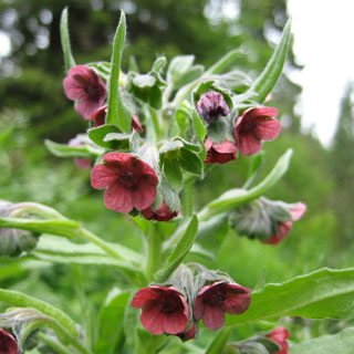
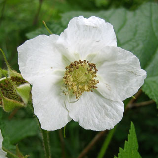
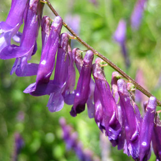
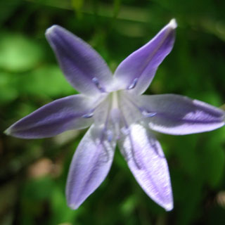
Wildflowers
Notes
We saw a part of Oregon that is rarely visited. Some areas, such as Hart Mountain, and Fort Rock (including the "hole" and the "crack") are unlike anything we've seen. The Basque influence over this region was hardly known to us (it's much more than tending sheep), and it turned out to be quite interesting.
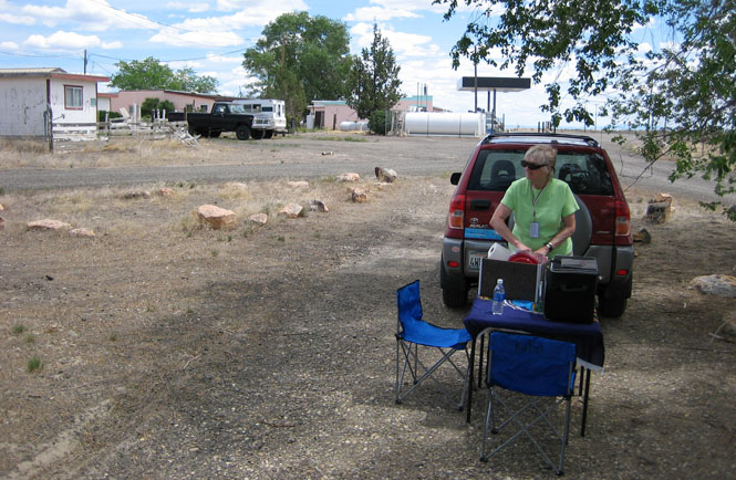
On the more practical side, carrying a pair of Motorola 2-way radios was more useful than would have been expected, and carrying a picnic table (with Kansas flag) and chairs turned out to be a very wise decision. A useful guidebook for the trip was "100 Hikes/Travel Guide Eastern Oregon" by William Sullivan.