March 23, 2008

 Kansas
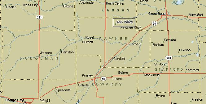
Ash Valley, Kansas is about 15 miles northwest of Larned. At least, that's where it appears on maps. I had my suspicions that there would be little of Ash Valley left to find. In any case, that was my destination.
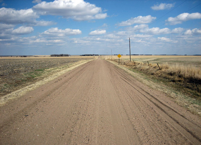
I'd be taking the very back roads.
There's hardly enough of Raymond, Kansas left to photograph.
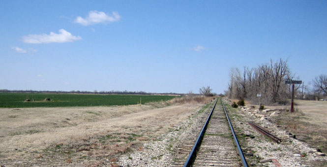
Raymond's bank (long closed).
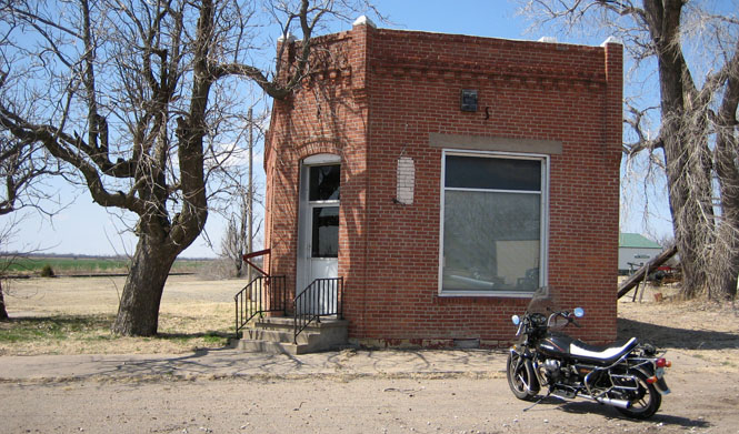
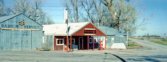
This is what the same location in Radium looked like in 1982. You can no longer buy gasoline in Radium.
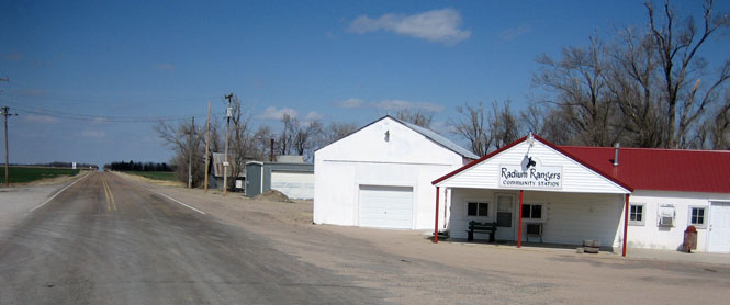
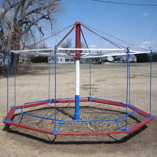
Radium city park.
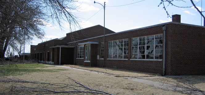
Radium's (closed) school.
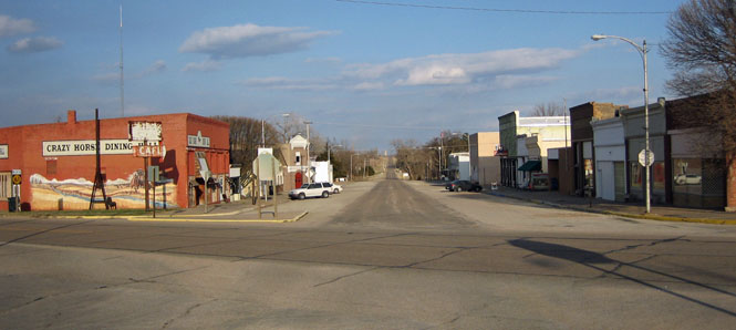
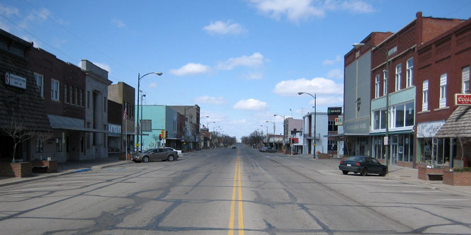
Staying on the back roads, and riding west, I reached Larned.
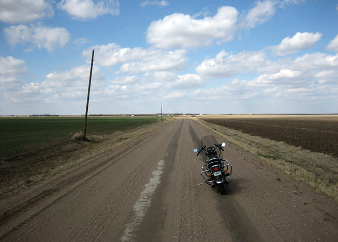
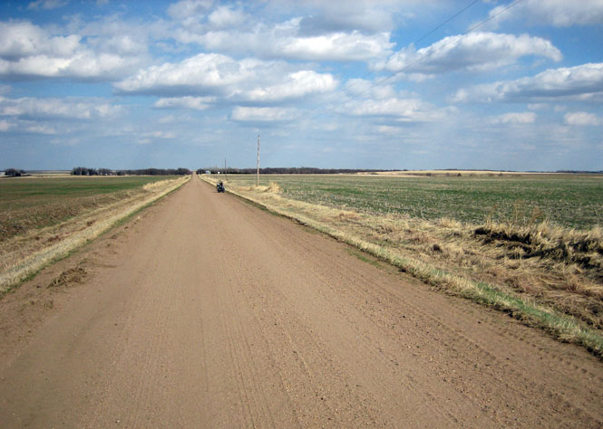
The roads got smaller. Traffic is not a concern. If you need to check a map, just stop where you are (I'd be turning right at the stop sign).

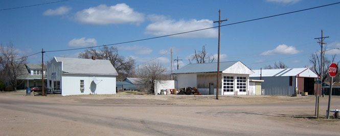
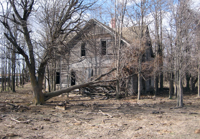
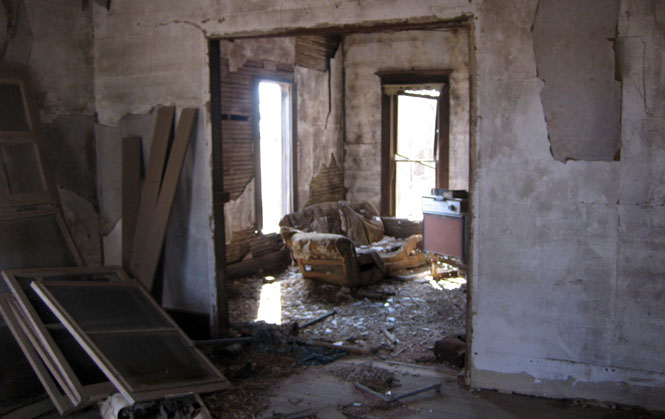
This old house wasn't far from where Ash Valley should be, but I saw no signs of anything like a town.
I walked down the road to exactly the spot where the map said Ash Valley was. It wasn't.
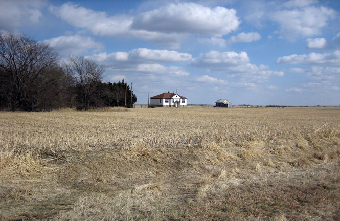
About a mile to the south I saw a school off in the distance. Ash Valley?
There wasn't much more than this. There is a church to the left of the school (which is no longer in use).
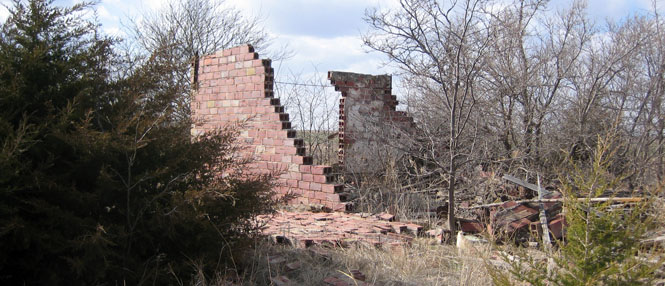
...and some evidence of earlier buildings--a few old foundations. Is this Ash Valley? Yes; I think so.
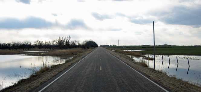
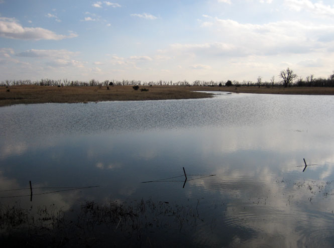
Returning, I crossed the Quivira National Wildlife Refuge wetlands.
Riding through Arlington, and then home.