December, 2011

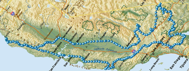
A seven-day trip down US-99 to southern California through the Mojave desert to Trona and Joshua Tree, then to the Salton Sea, across to the Anza-Borrego desert, and a return along US-101.
 California
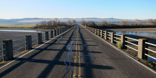
We did not actually go into Ferndale (at least not this day), but did stop to take a photograph looking across the famous Ferndale bridge over the Eel River.
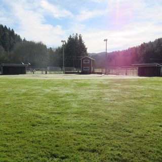
Willits for lunch. There is a block-size city park just east of the highway through town.
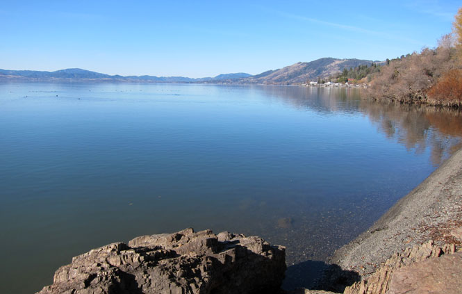
Clear Lake isn't especially deep, and unfortunately sometimes has a green tint. But, today it looked as clear as its name says it should be. This was taken south of Lucerne.
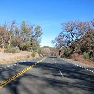
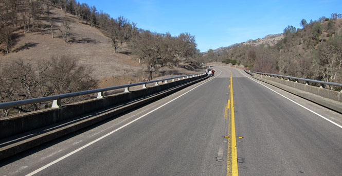
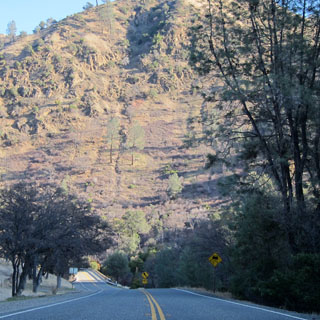
Instead of the straight route to Williams, we turned south on CA-16 through the small towns of Rumsey and Guinda.
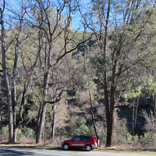
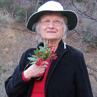
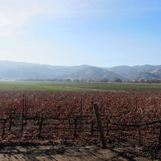
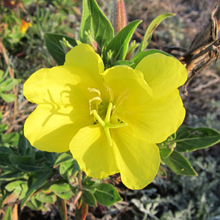
This is really a pretty drive. Those red berries?
Heteromeles arbutifolia
Toyon, California
Christmasberry, California holly, Hollywood.
The common name Toyon is
derived from an Ohlone word for the plant, and Hollywood, California, is
thought to be named for it. It was once a major component of the chaparral
that made up the original Hollywood landscape.
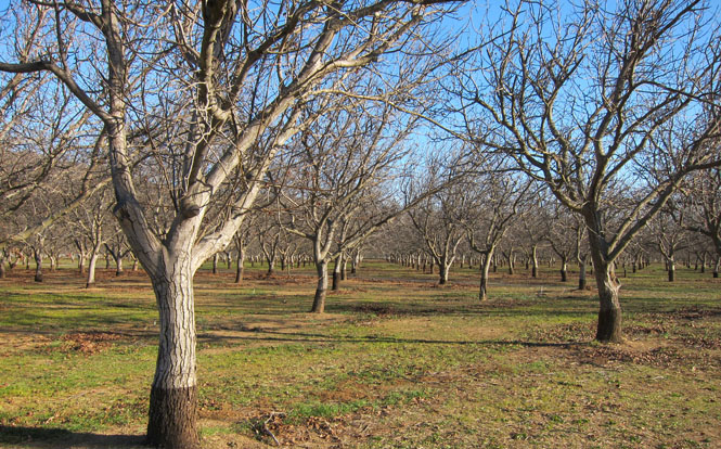
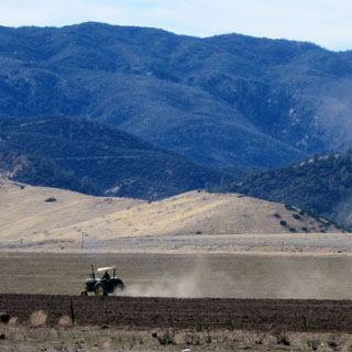
Almond trees are everywhere.
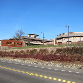
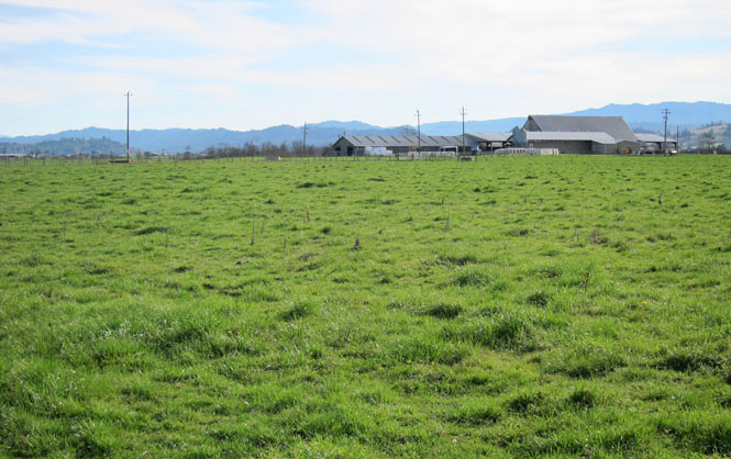
The Cache Creek casino is across from vineyards. This is a surprisingly large complex of buildings.
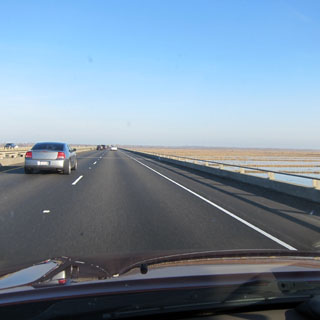
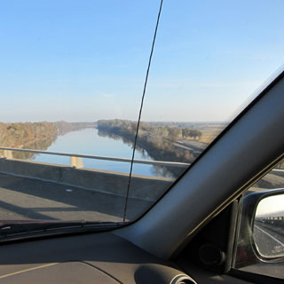
Driving across the Yolo causeway (as lumpy a ride as ever) and then up and high over the Sacramento river.
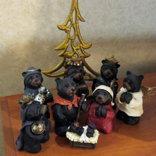
We had stopped earlier near Richardson Grove and bought these nativity bears. The tree is from Scotland.
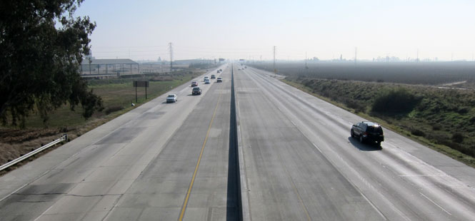
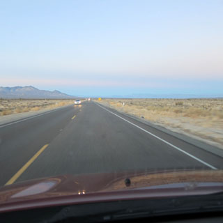
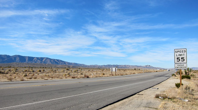
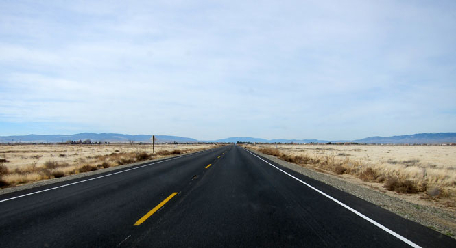
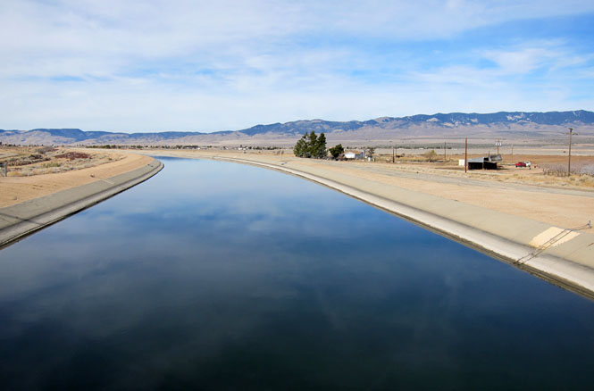
It was a very hazy drive down US-99.
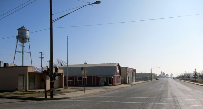
There might have once been a time when Pixley thrived. This stretch of road was once the route of old US-99, but that's been replaced by a freeway and it isn't likely that Pixley gets much traffic.
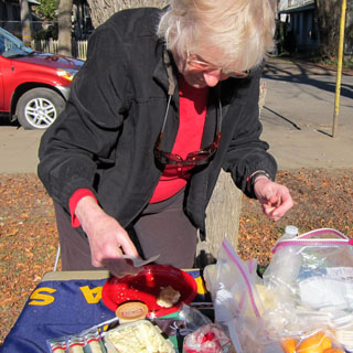
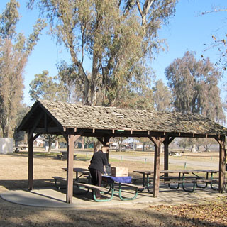
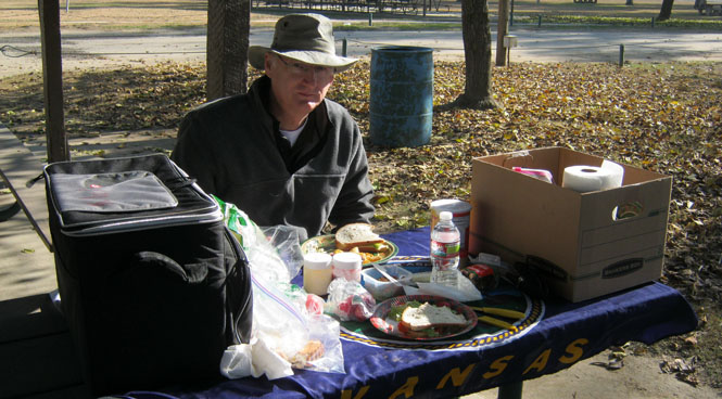
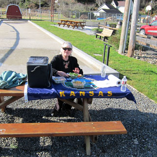
Lunch at the Pixley park.
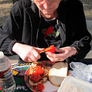
Yes; that's a Kansas flag.
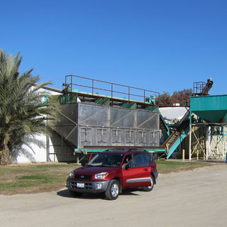
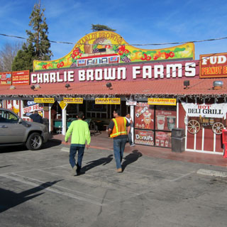
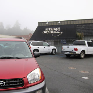
In search of Madjool Dates, we stopped just beyond Bakersfield at a couple of fruit stores. Of course, nothing was open today.
This is the Tehachapi Loop, which dates from 1875. The tracks make a full loop over themselves lifting the trains up the steep grade over the Tehachapi Mountains.
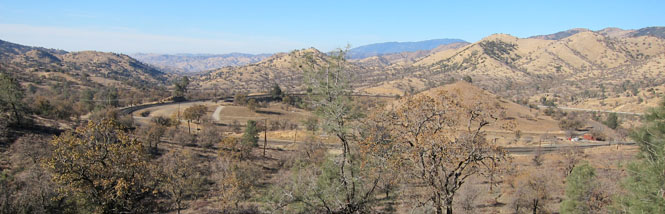
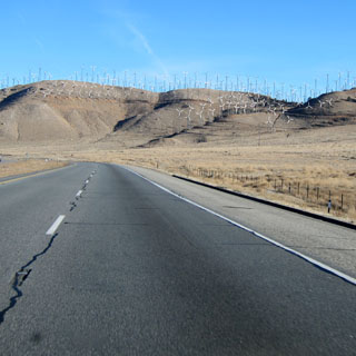
As long as I can remember, there have been scores and scores of wind turbines at the pass.
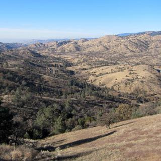
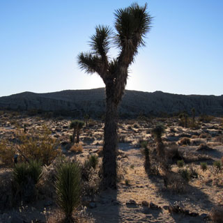
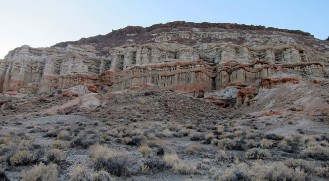
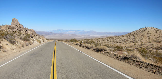
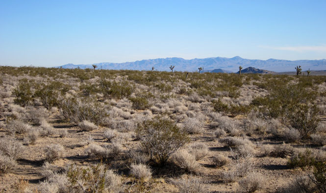
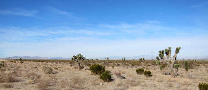
North of the town of Mojave is Red Rock Canyon State Park. Because of California budget cuts the visitor center was not open, but the park was not closed.
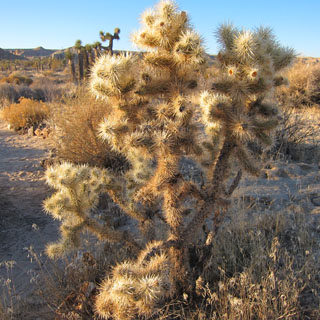
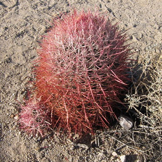
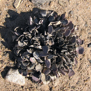
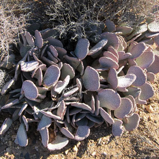
It may look soft, but you would be wrong to touch it.
The shot below was taken with the phone and sent on--or at least it was when the phone was eventually within range of a tower.
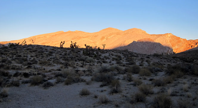
It began to get chilly as the sun went down.
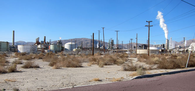
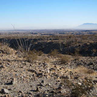
We kept in the same general direction towards Ridgecrest, which is at the southern end of the China Lake Naval Air Weapons Station.
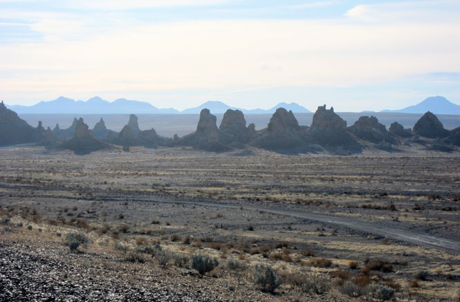
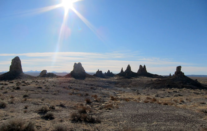
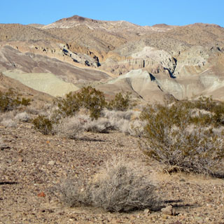
If you drive east out of Ridgecrest you'll pass the Trona Pinnacles as well as the small town of Trona on the way to Death Valley. Our goal was to see the Pinnacles.
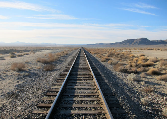
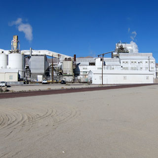
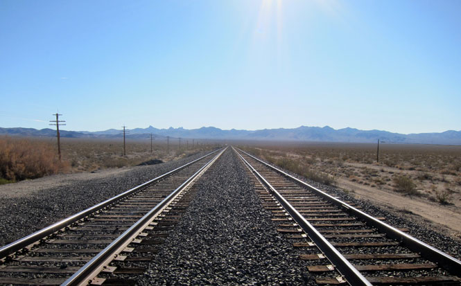
A short-line railroad hauls processed minerals* from Trona to Searles.
* sulfuric acid, soda ash, potash, borax, coal, and whatever the naval weapons base might want.
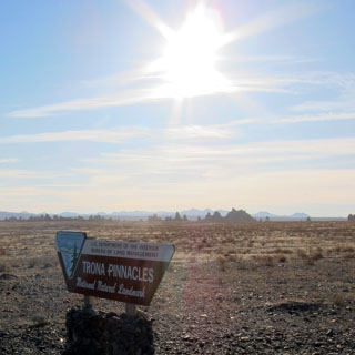
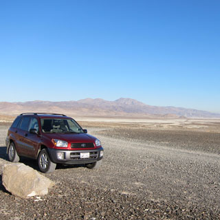
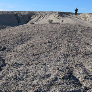
There isn't much development for visitors at Trona, but there is a good-enough road to the area as well as toilets at the site and some additional hiking paths.
These strange shapes have appeared in a number of movies.
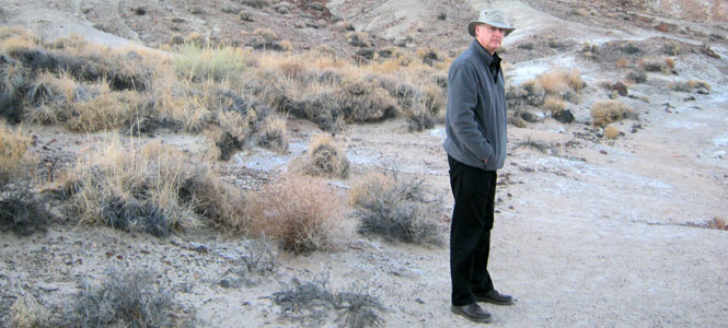
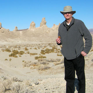
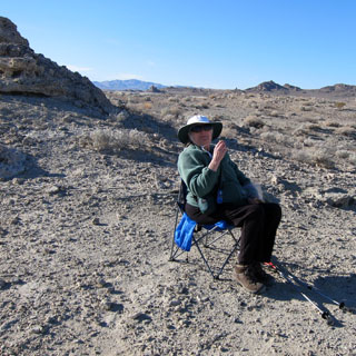
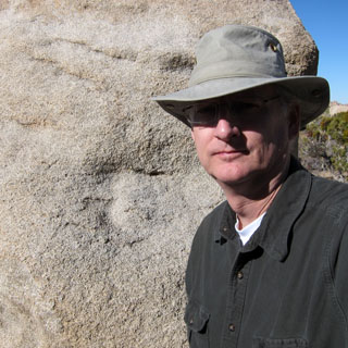
Eating a Christmas cookie and carrying a light-weight camp chair.
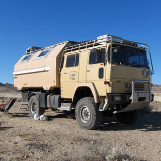
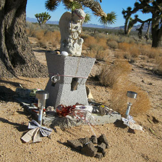
We were not the only ones here. I talked with a man who had brought this beast of a camper over from Germany and was well along to seeing North America before heading south. He and his wife and their dog had been parked out here for several days just contemplating things.
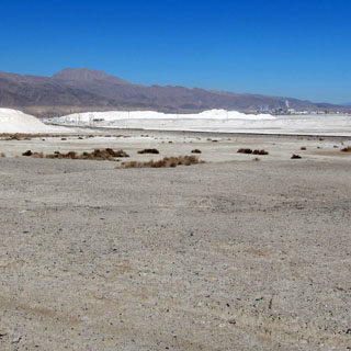
Searles Valley Minerals mines (or perhaps 'harvests' is a better term) all sorts of minerals from the lake bed.
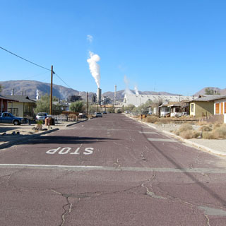
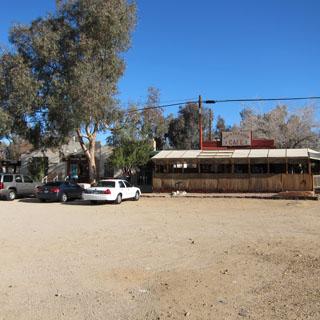
We did not see much traffic (or people) in town.
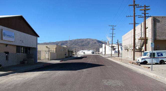
The high school football team plays on a dirt field. There would be little point to planting grass.

I suspect that if you don't work at the Searles plant, you are entirely dependent on the people who do.
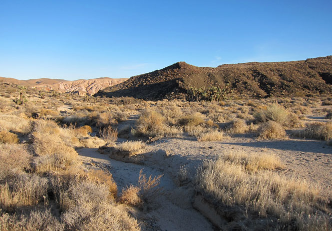
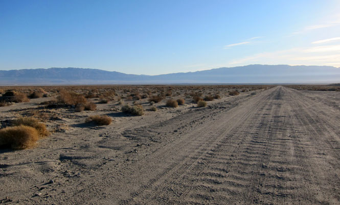
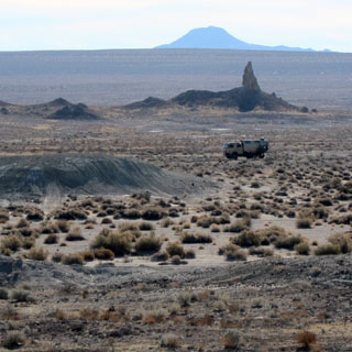
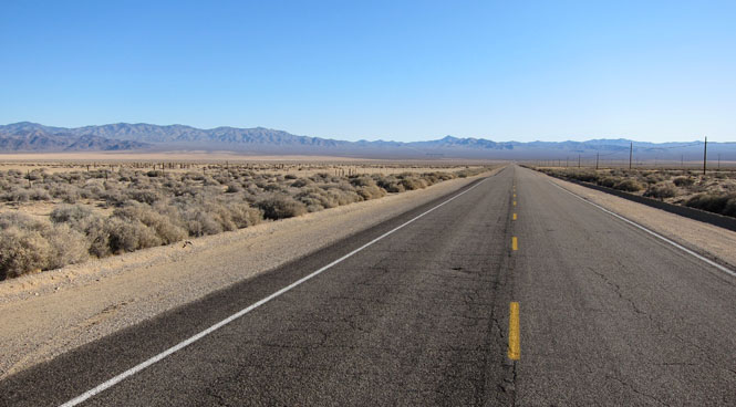
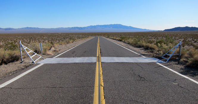
We drove along some very remote roads aiming for a point just north of Barstow.
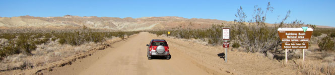
The road through the basin is one-way, but not too bad for a high-clearance vehicle. We had no problems.
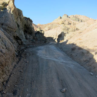
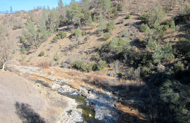
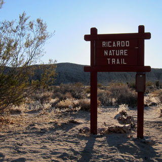
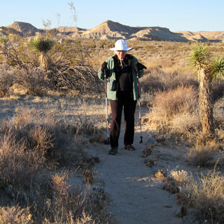
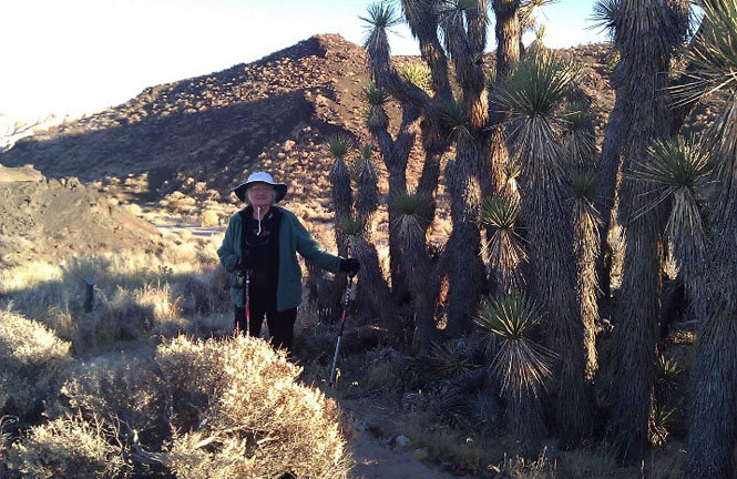
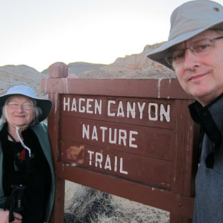
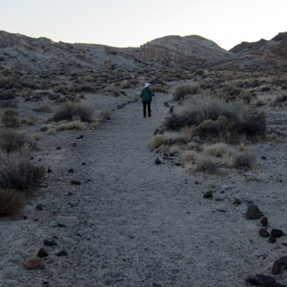
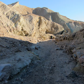
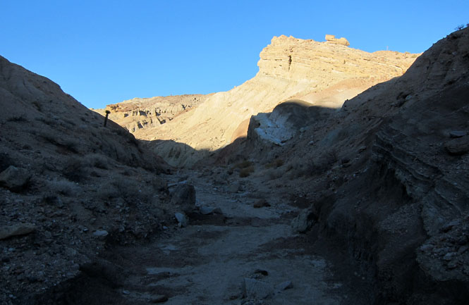
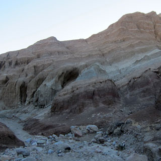
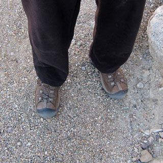
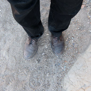
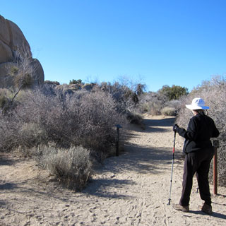
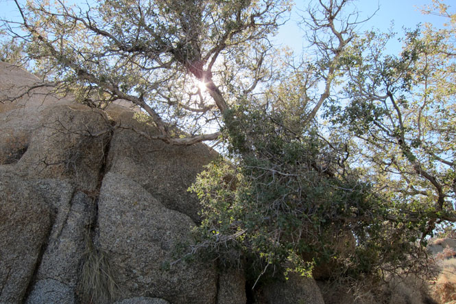
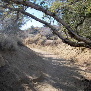
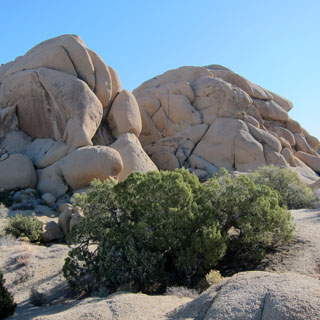
We drove to the end of the campground to go on a short hike up the canyon.
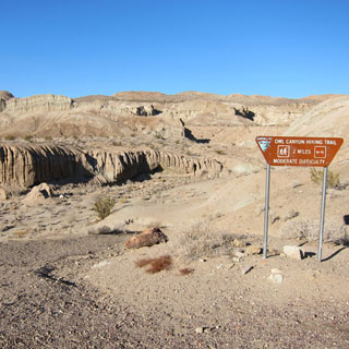
It was fairly easy going, but there were sections that required some steps up and down.
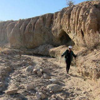
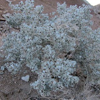
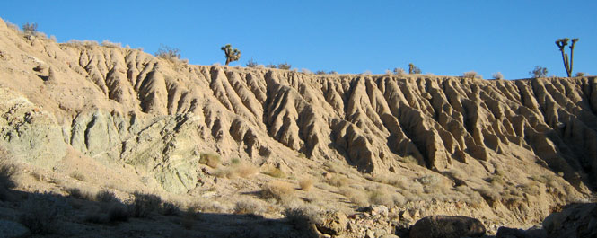
One of us wore proper shoes. The other didn't.
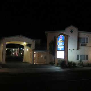
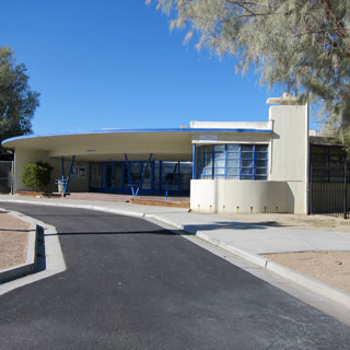
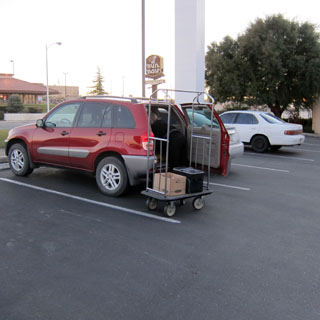
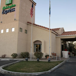
These are the shortest days of the year, so we found ourselves checking in fairly early. This is Barstow.
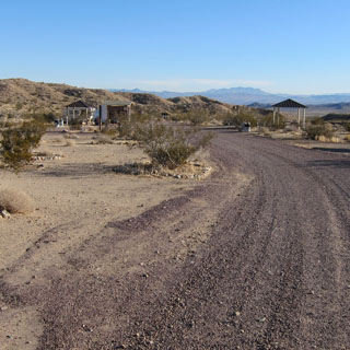
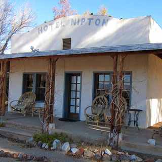
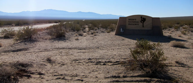
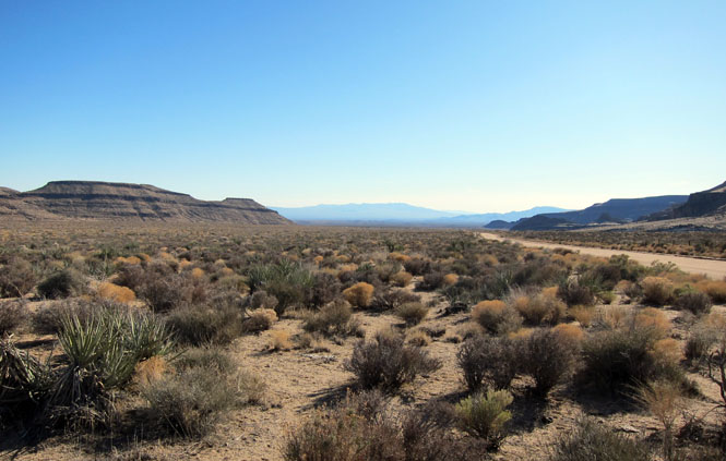
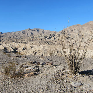
Nipton, California doesn't offer a great deal, but as something of a gateway to the east entrance of the Mojave National Preserve, they should do fine.
The Nipton hotel is in business.
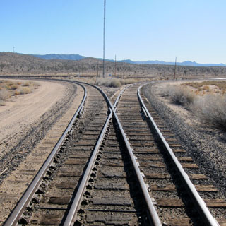
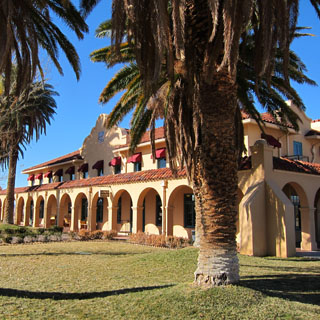
The grade for east-bound rail traffic is steep enough that helper engines are required--at least that was the case in the days of steam. At the top of the hill, the helper engines would return to Kelso. These tracks show the turn-around 'Y' used by the engines.
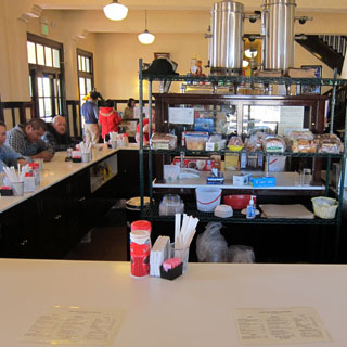
The Kelso depot has been restored, and the dining room is open for business.
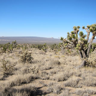
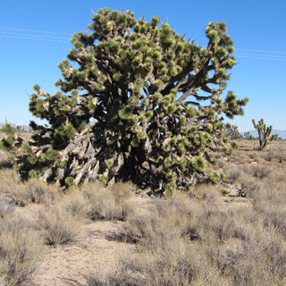
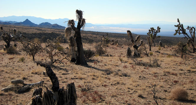
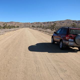
We would take a dirt road through the center of the preserve. The road was just fine and any car would be able to use it.
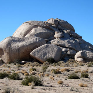
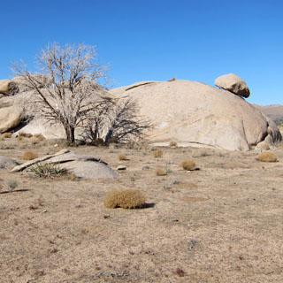
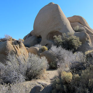
A strange thing to see that large rock seemingly on the verge of sliding off. Perhaps some day it will do just that. At any event, we did not walk under its path.
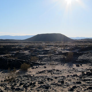
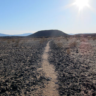
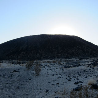
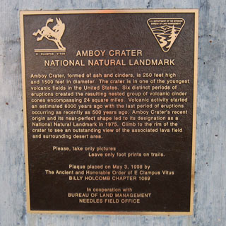
 Amboy Crater National Natural Landmark

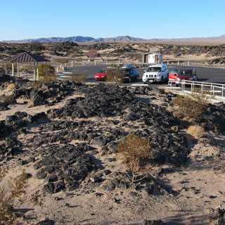
Distances are a bit tricky in the desert. That crater didn't seem to get much closer as you walked towards it. There was a nice parking area, but you could drive no closer than this.
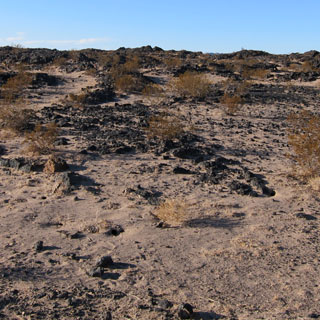
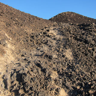
A mixture of sand and abrasive lava rocks.
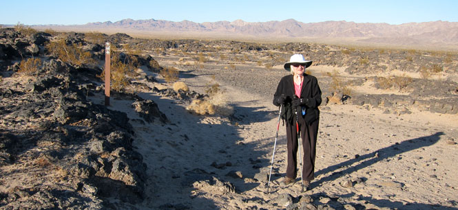
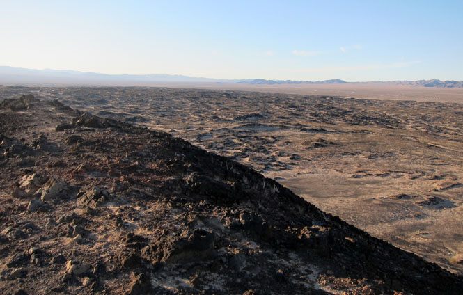
Eventually, the trail gets serious, and the route takes you right up the side. The footing is a bit slippery so you'll want to be careful.
What's at the top? Evidence of multiple eruptions and flows, but no sign of any thermal activity these days.
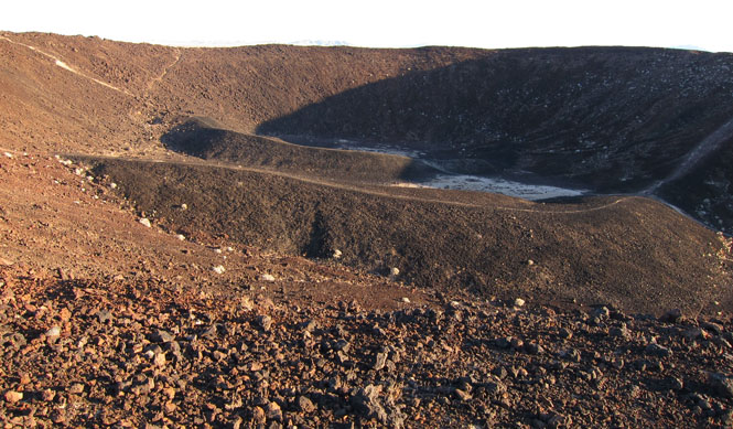
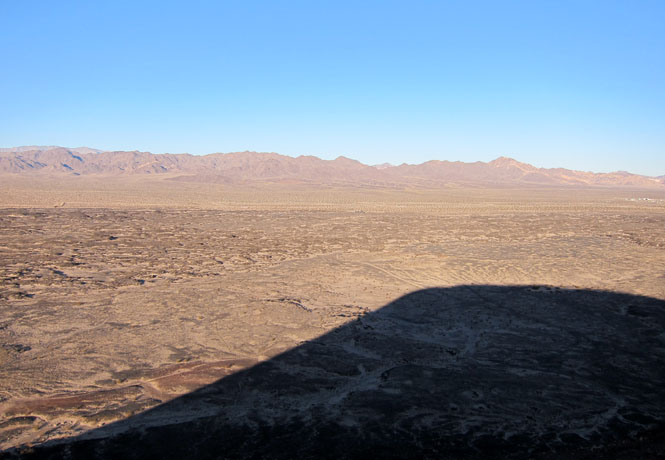
The view from the top (actually the top ridge) is spectacular and windy. If you look closely at the shadow, you might be able to see the outline of a person.
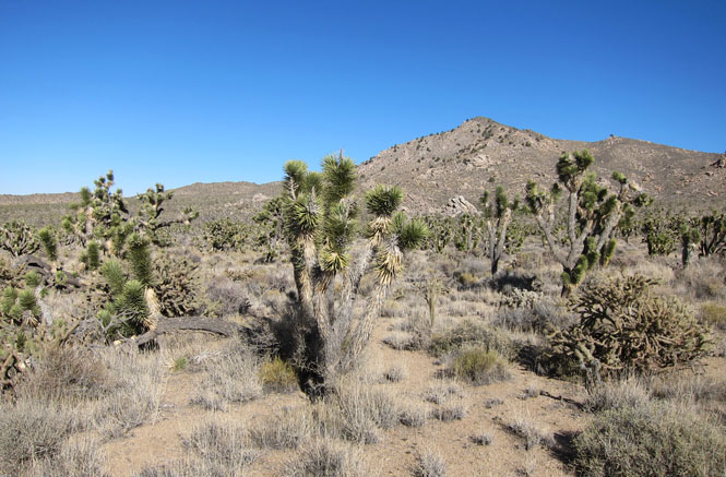
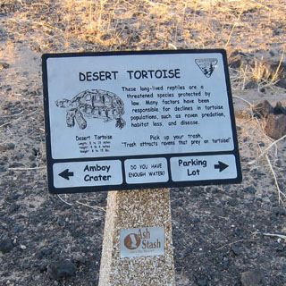
No tortoises were seen. We did learn that Ravens were something of the great enemy of tortoises. It seems that Ravens like turtle eggs, and Ravens have no problem thriving around people--so there are lots of them and not very many tortoises.
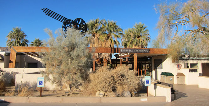
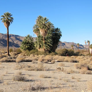
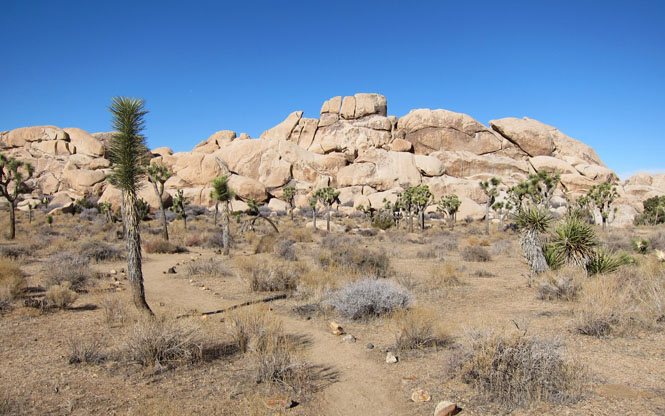
This is the oasis near the visitor center outside Twenty-Nine Palms.
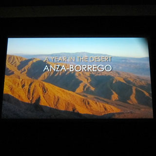
The entrance to the theater is from the outside of the center.
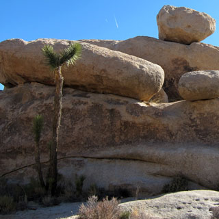
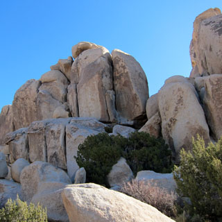
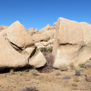
This spot is called Skull Rock (the reason is perhaps obvious).
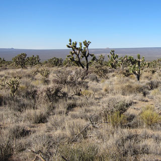
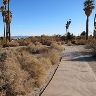
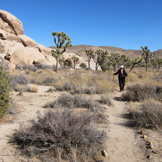
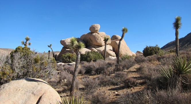
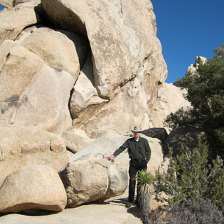
There are nice walking trails throughout the park. Some are quite long and would take multiple days to do, while others are wheel-chair accessible.
In some areas, you make your own trail.
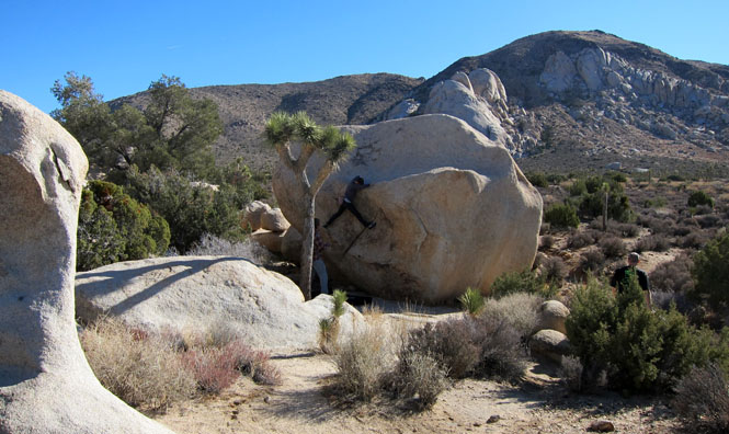
Some rock climbers practicing their technique. It isn't clear in this photograph, but there is a mattress just below the woman on the rock.
What strange events created this place?
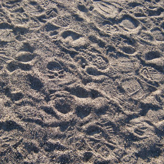
Awanna became quite adept at following Daniel's foot prints across the sand. His are the ones that are most un-suited (upper right).
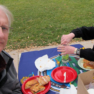
A final lunch before leaving the park.

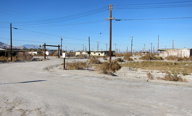
What's to be said about the Salton Sea? It isn't dead: things do live in it. And, it isn't abandoned: people do live here.
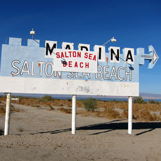
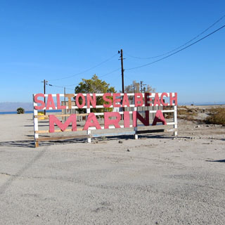
Aside from some people playing paint-ball warfare, we didn't see much happening in Salton Sea Beach.
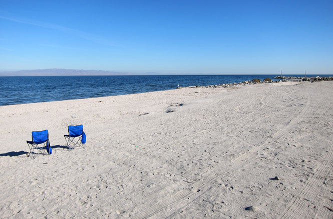
Nice to have chairs with you.
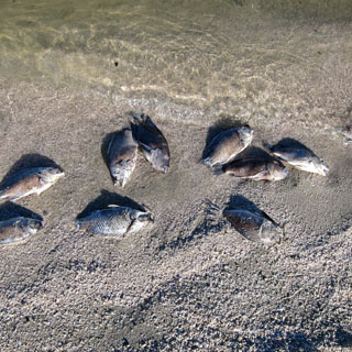
The shore is lined with dead fish (Tilapia).
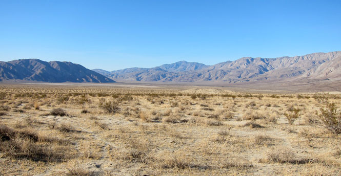
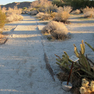
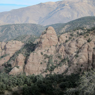
The canyons to the Anza-Borrego desert.
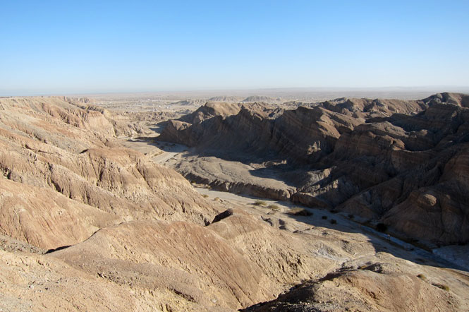
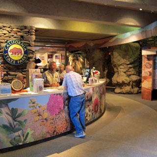
 Anza-Borrego
Desert State Park
Anza-Borrego
Desert State Park
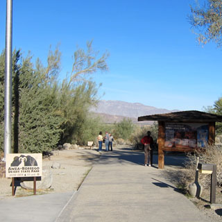
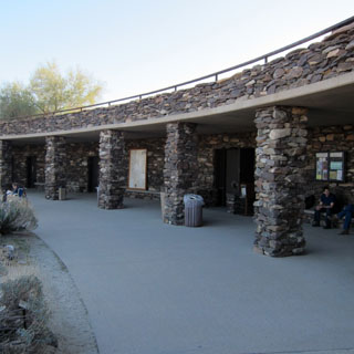
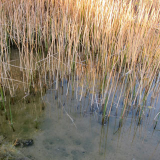
This is a California park, but the visitor center is open (and is quite nice).
Pup fish can be seen in the water. They're not very big, and not colorful, but at least they are here.
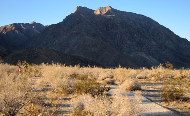
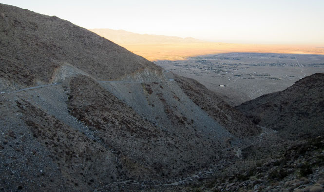
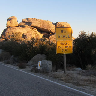
The steep driving climb over the hills.
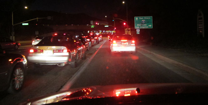
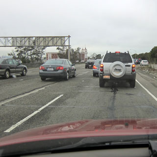
Sigh... Traffic on the way to Temecula for the night.
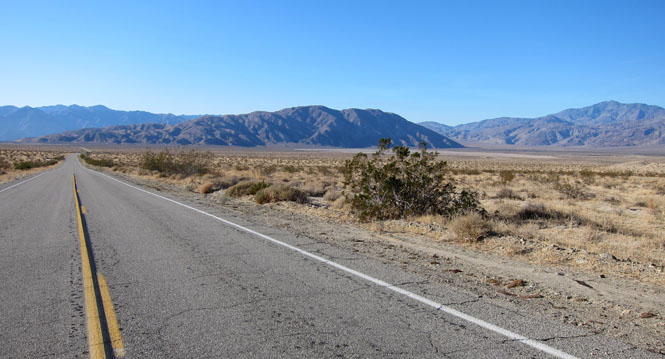
Dropping into Antelope Valley north of the San Gabriel Mountains.
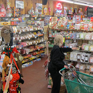
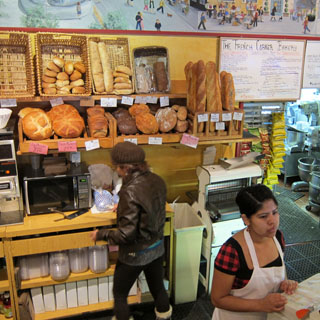
Still in search of Madjool Dates, we stopped at this store in Littlerock. Not only did they have the dates we wanted, they had pretty much anything else you might want.
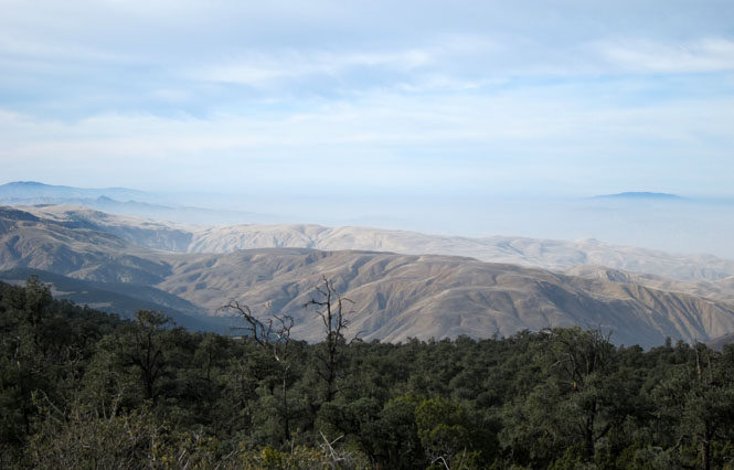
Crossing over the final mountains to the central valley.
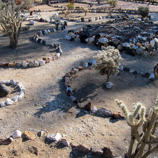
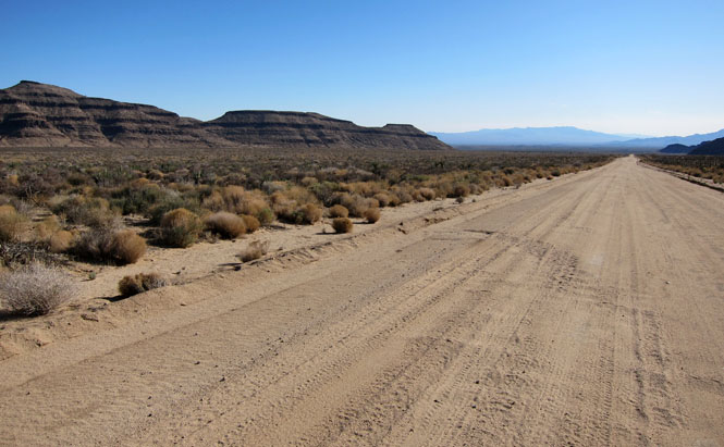
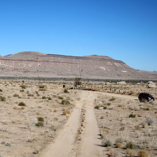
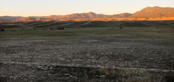
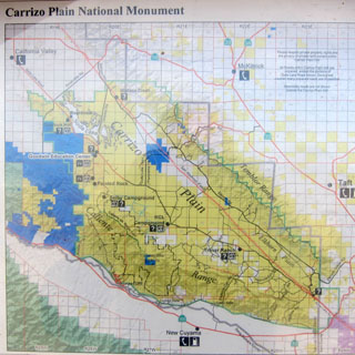
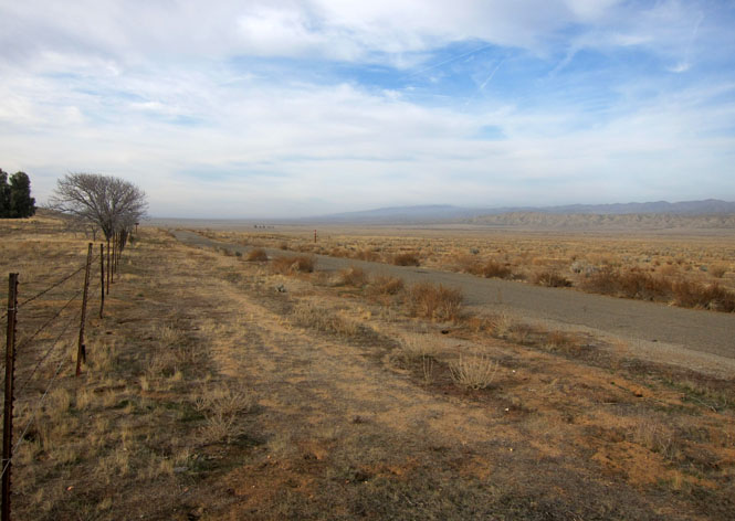
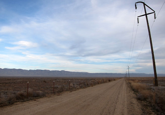
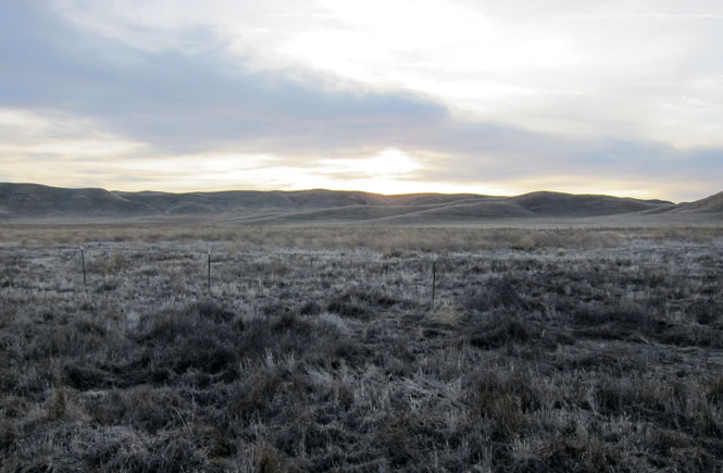
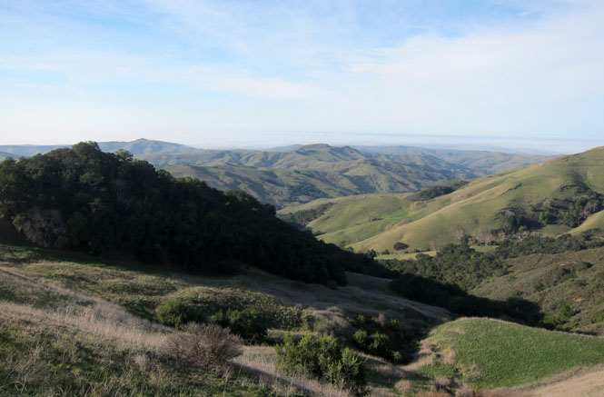
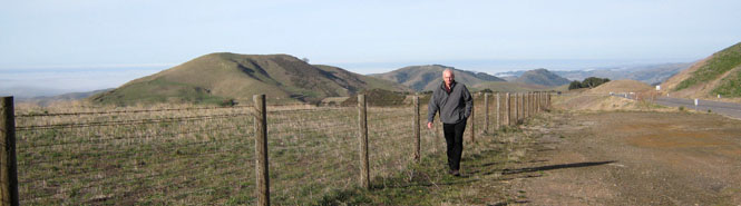
Carrizo Plain National Monument
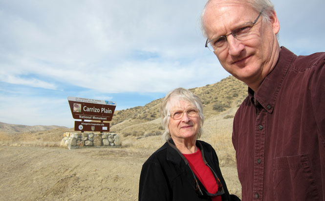
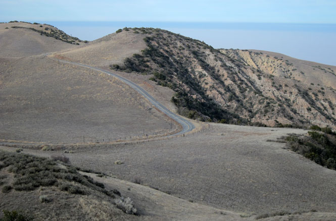
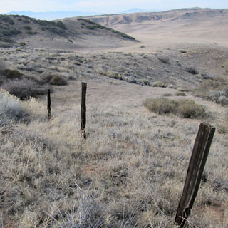
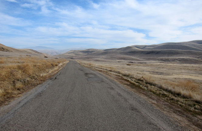
Not very many people visit the Carrizo Plain. Evidently, the main draw is the wildflowers that bloom in the spring. There were warnings about the road, but it was fine.
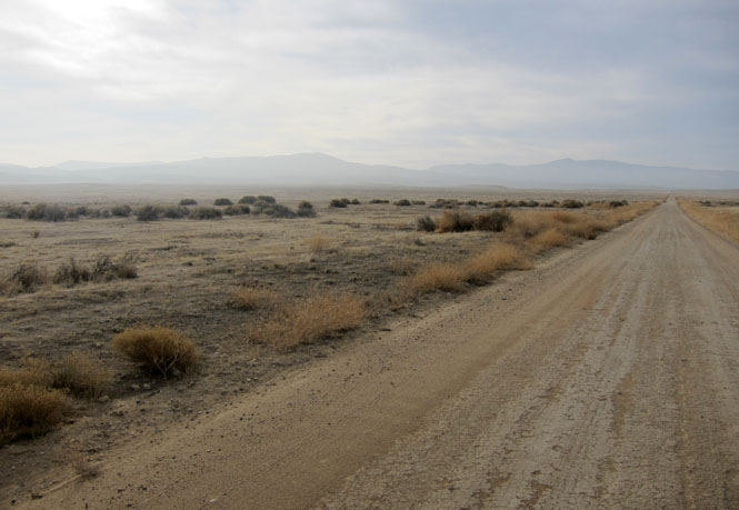
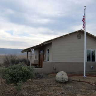
The visitor center was open, and was staffed by a very helpful woman who had lived in this area for many years.
I'm sure the wildflowers are very nice, but winter is also a good time to visit.
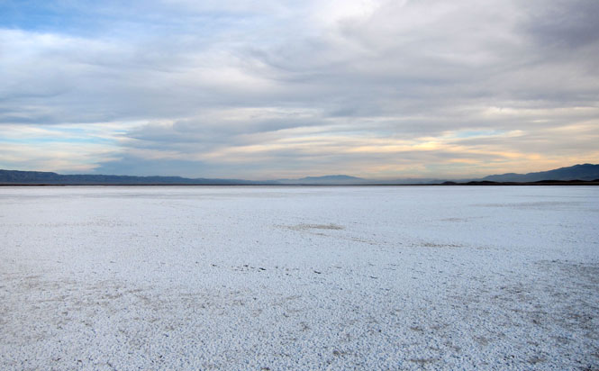
Let's walk out to the lake...
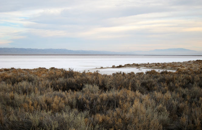
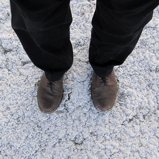
Better yet; let's walk on the lake...
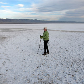
The sun goes down and it becomes cold.
San Luis Obispo for the night.
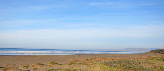
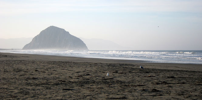
This state beach is just a bit north of the town of Morro Bay.
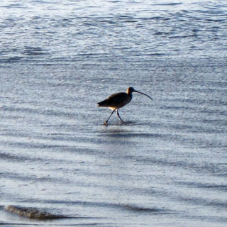
What is this bird? It's a Long-Billed Curlew.
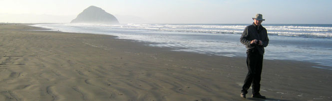
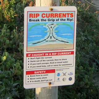
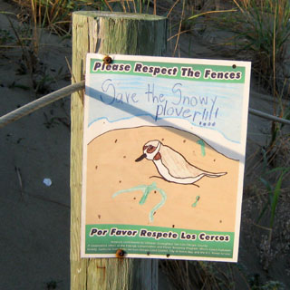
We did not see any Snowy Plovers (nor were we ever in the grip of the rip)
We needed fuel, so we drove north into Cambria before crossing the range. What a nice little town. We bought what we would need for lunch later in the day.
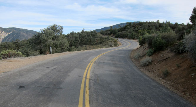
Crossing over the coastal range.
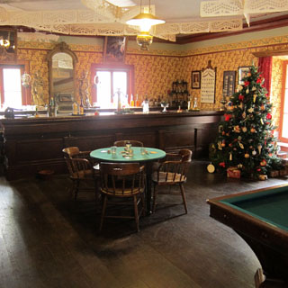
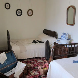
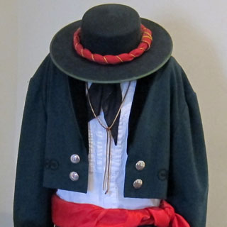
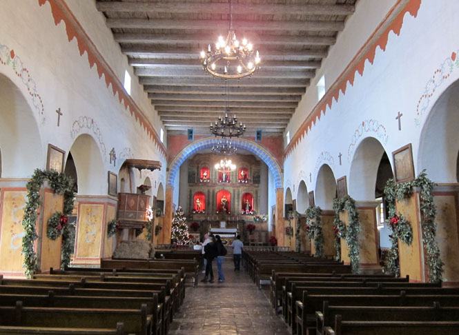
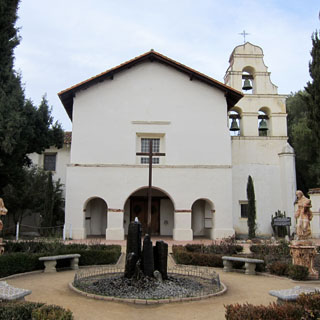
San
Juan Bautista State Historic Park
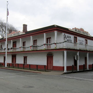
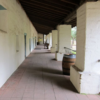
It is a remarkable thing that this old hotel is still here and in good shape. This is California when it belonged to Spain.
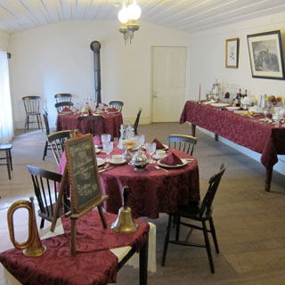
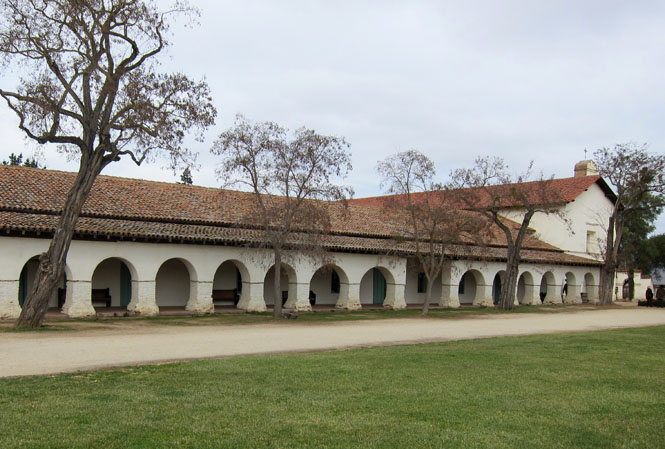
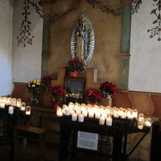
Of the California missions, this is the largest. It also has never stopped being a church.
A friendly (and very sleepy) church cat.

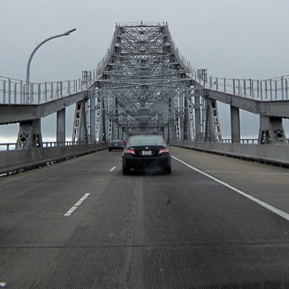
Driving up the east side of the bay and crossing the Richmond bridge.
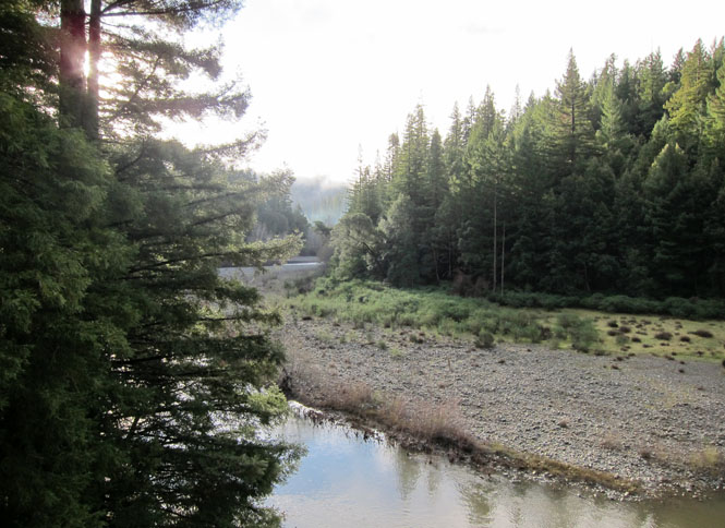
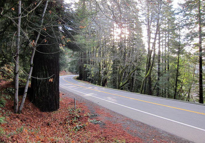
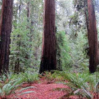
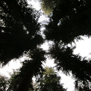
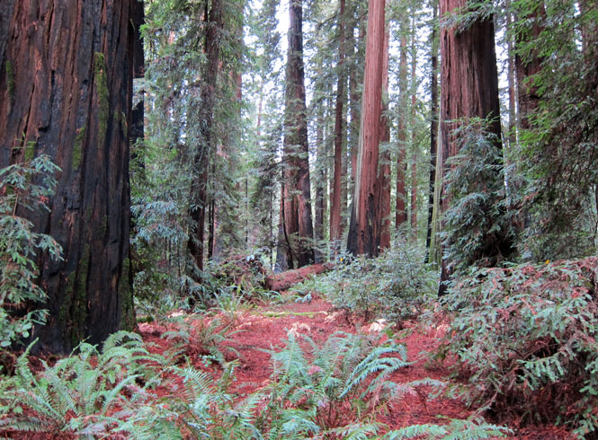
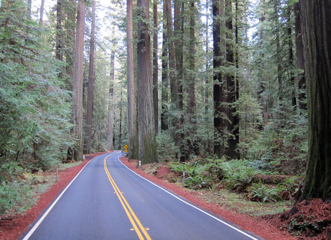
We return to the redwoods.
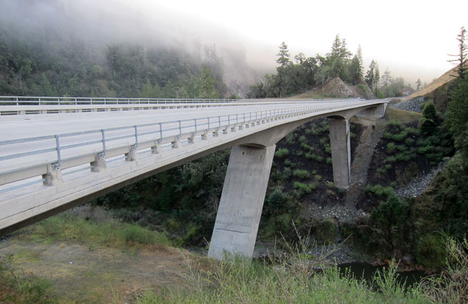
One of the new bridges that bypasses the old route that is often closed due to landslides. Better, perhaps, but not as interesting to drive.
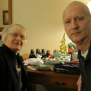
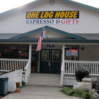
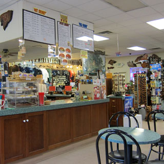
Stopping at the same place where we bought the nativity bears earlier in the trip.
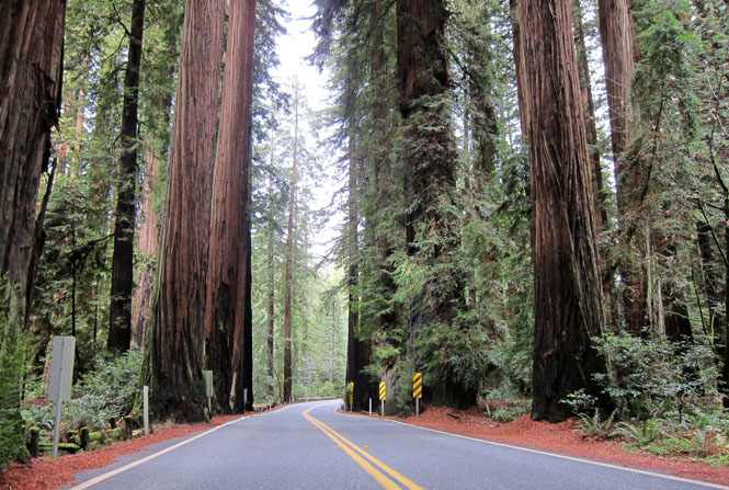
Is it even possible to take a photograph of these trees?
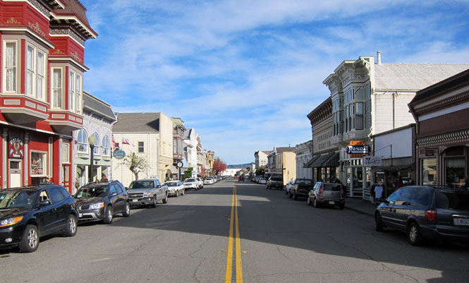
This time, we did drive into Ferndale and stopped for lunch.
Just about 2,400 miles.