March 3, 2012

Being a trip to St Louis for the AMA Supercross races and including a stop at Rocheport, Missouri as well as the Kansas history museum in Topeka.
 Kansas
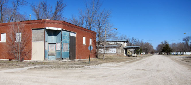
This is Quenemo, Kansas.
 Missouri
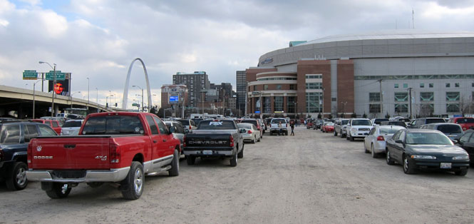
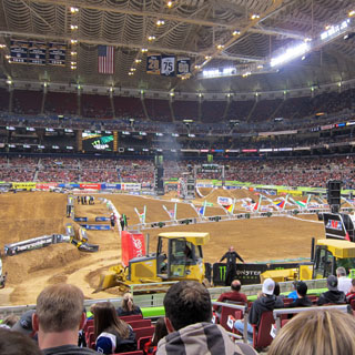
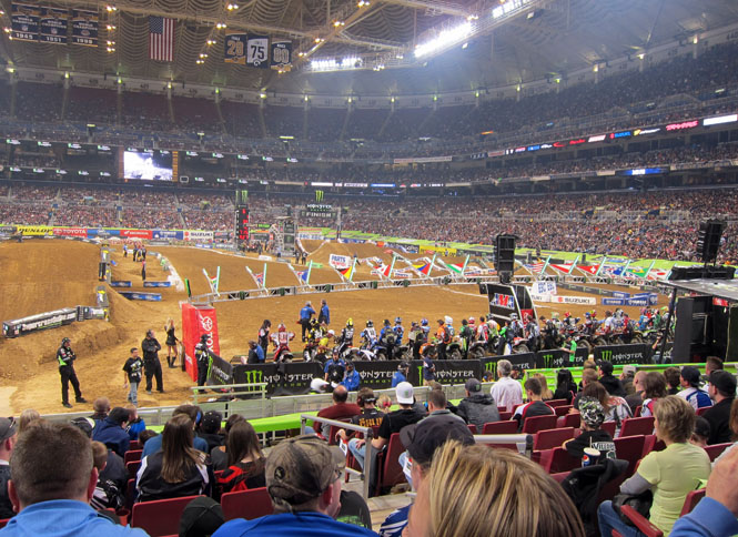
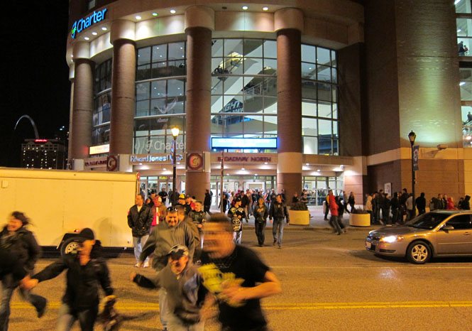
The Edward Jones Dome is just a few blocks north of the center of St Louis. Parking could not have been easier.
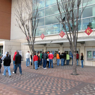
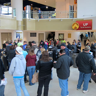
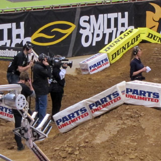
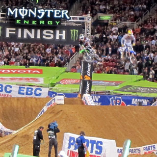
Qualifying sessions before the opening ceremonies get started.
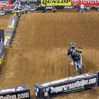
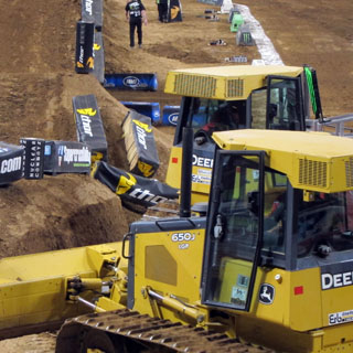
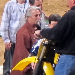
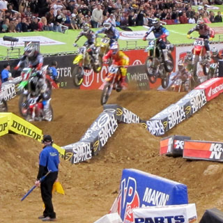
The efficient dirt maintenance is really impressive. That's Brad Lackey! A Californian, the 1972 AMA motocross champion, and in 1982 he was the first American to win the world motocross championship.
The event is covered live on television (SpeedTV).
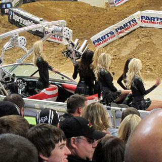
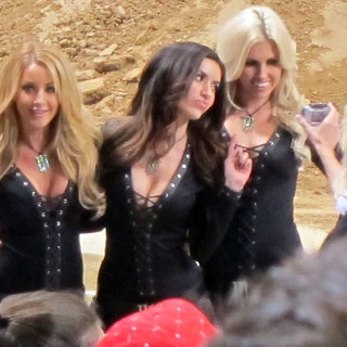
Monster Energy Drink is the event sponsor, so these are the "Monster Girls." So far, so good; but, I'm not as sure what the boat has to do with it.
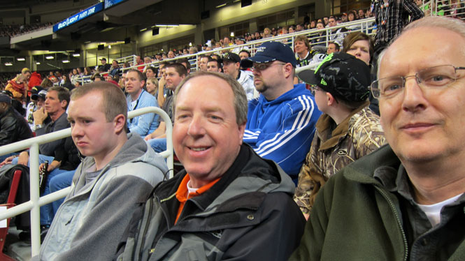
Fans ready for the races...
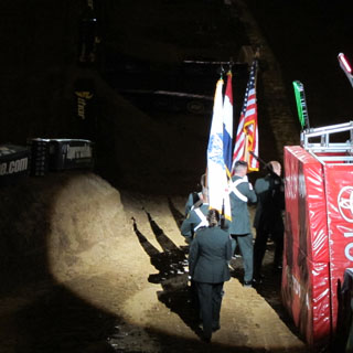
The opening ceremony: music, anthem, explosions, lasers, fireworks, flames, and much more.

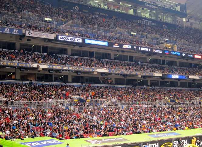
A reported 59,742 people attended. I believe it!
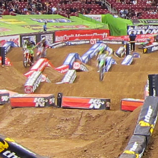
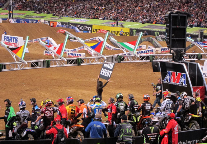
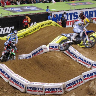
The heats are finished and the riders are preparing for the final race.
Supercross
1. Ryan
Villopoto (KAW)
2. Ryan Dungey
(KTM)
3. Justin
Brayton (HON)
SX Lites East
1. Justin
Barcia (HON)
2. Ken Roczen
(KTM)
3. Blake
Wharton (SUZ)
The rush for the cars after it's over.
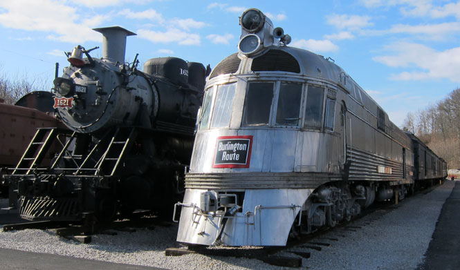
The next morning, I dropped by the National Transportation Museum in nearby Kirkwood. But, being Sunday, it wouldn't be opening for a few hours, yet.
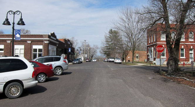
This is Rocheport, Missouri. It's a nice little town on the KATY trail, which follows the Missouri River nearly completely across the state.
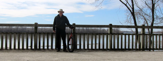
Being an old rail right-of-way, the trail is ideal for a unicycle with a large mountain tire.
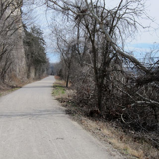
You can just see the freeway bridge that crosses the Missouri River. The other path leads a short distance to a very nice restaurant (which I did not stop at). Eventually, I'll be comfortable riding such narrow and more bumpy trails, but for now, the broad, smooth old rail route will do.
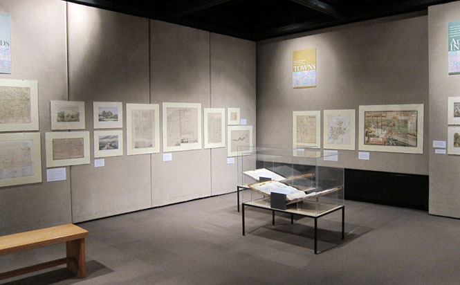
There was a special exhibit at the Kansas history museum on the early maps of Kansas. Naturally, I'd have to stop. They had a terrific collection on display--some being really quite rare.
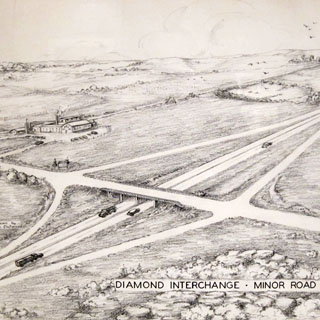
The first map showing the proposed route of the freeway system in Kansas. The drawing shows how a smaller interchange would work. Notice that this "freeway" only has two lanes. That would change, of course.
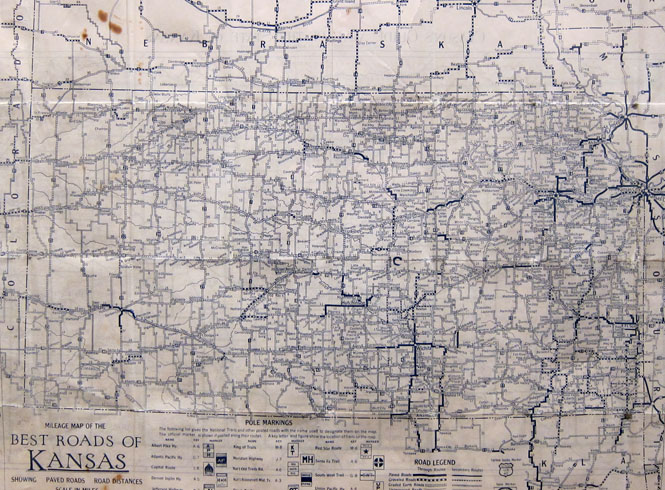
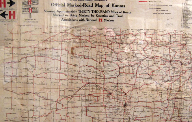
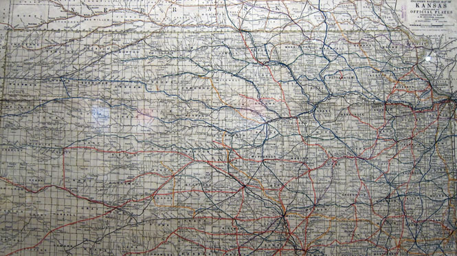
For reasons that escape me, the Kansas constitution prohibited the use of state money for internal improvements. Consequently, Kansas roads were really awful (until the constitution was changed). Notice the heavy lines (below). That's all there is when it comes to paved highways. The rest is dirt (and gravel if you're very lucky).
Lots of effort went into marking the routes (before the routes had numbers).
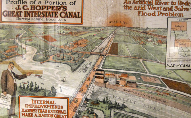
Canals in Kansas. It wasn't covered in the exhibit, but most of this was just a scam. There actually is still some evidence of other canal projects, but of course they never came to anything (and never could). The Walnut River is not the Blue Danube. In fact, it often has no water at all.
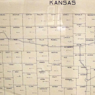
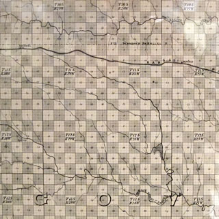
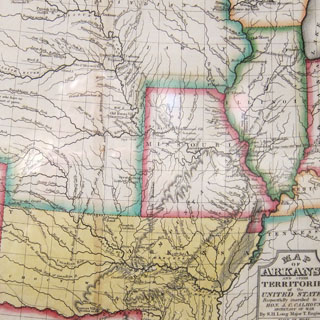
As was the case across the country west of St Louis, the railroads were given land along the new routes. It was almost always in the form of a checker-board.
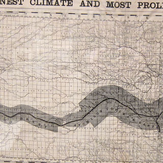
At one time, you could get most anywhere in Kansas by rail. Probably, most of the tracks marked on the map have now been pulled up.
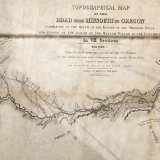
I have never seen these maps in person. Two very rare and important maps. The one on the right is Fremont's map that was used by immigrants on the Oregon Trail. Considering everything, it is a very good piece of survey work.
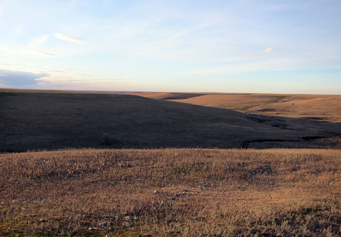
The Kansas Flint Hills.