July, 2013
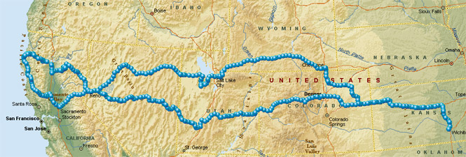
This is a driving trip to California and back. There would be an altogether different trip once in California, so I've not included that portion here.
 Wyoming
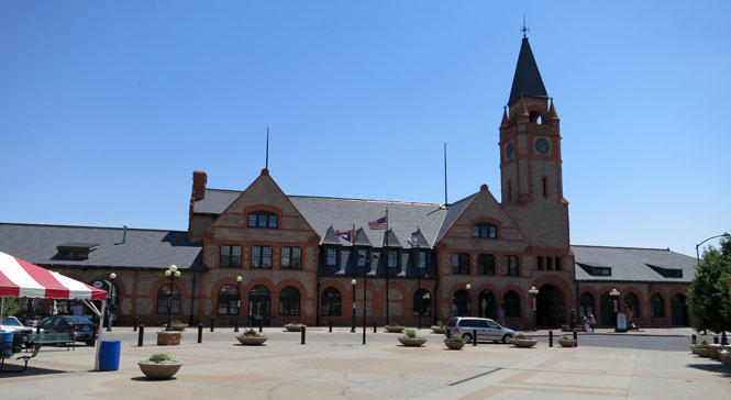
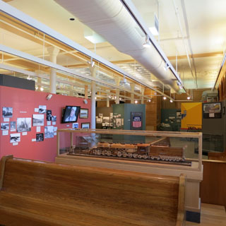
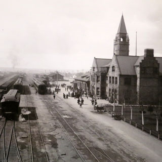
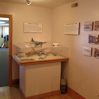
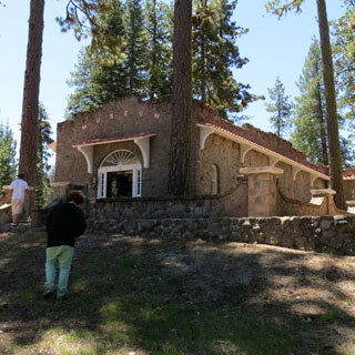
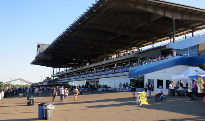
Cheyenne has always been an important town for the Union Pacific Railroad and has a lot of heritage from the days of steam. I was hoping that the Cheyenne Depot Museum would be a significant rail museum. It's not; but, the local volunteers have done a nice job of putting together a photo record of what used to be done in Cheyenne.
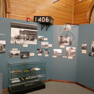
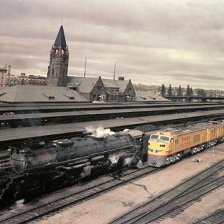
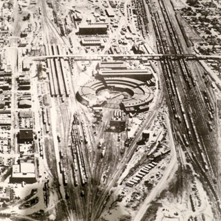
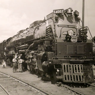
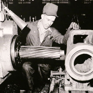
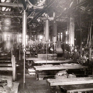
Maintenance is what made Cheyenne. The facilities that used to be here to keep the large steam engines going were enormous. The photo below (left) shows the last of the Big Boy engines along with its (diesel) replacement. The other photo shows the large maintenance round-house. Only one of those segments remains.
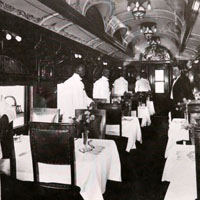
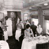
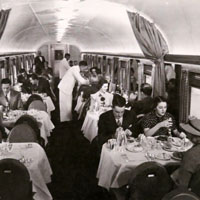
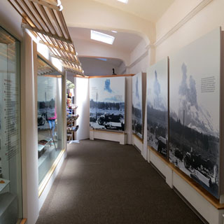
Dining cars over the years.
The heavy equipment and very specialized machinery makes you wonder how it's possible to do even the routine things needed on steam engines today. Evidently, the engines were taken through this shop every 100 hours for routine maintenance and were completely torn down and rebuilt at major overhauls. Most all of this equipment would have been scrapped. Good for Union Pacific for keeping some of their big engines going!
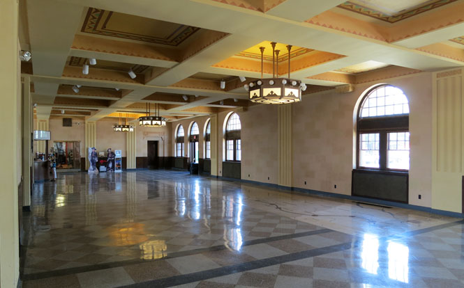
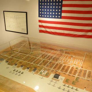
The interior of the depot. This building was completed in 1887. Notice the inlay in the floor (near the windows). It shows the whole Union Pacific network.
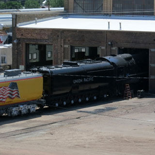
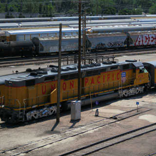
On the left is a Union Pacific Challenger locomotive (mostly hidden in the shed). It is the largest operational steam locomotive in the world (that is, until Union Pacific completes the planned restoration of a Big Boy locomotive). On the right is a Centennial locomotive; the largest diesel locomotive ever built. This is the only one remaining.
 Utah
Utah
Johnson Pass (Fisher's Pass) was one of the last connections completed for the Lincoln Highway (the first transcontinental highway). The old highway ran from the Salt Lake towards what is now US-50 and Ely, Nevada. These days, much of that old road is part of the Army Dugway Proving Grounds and so cannot be travelled.
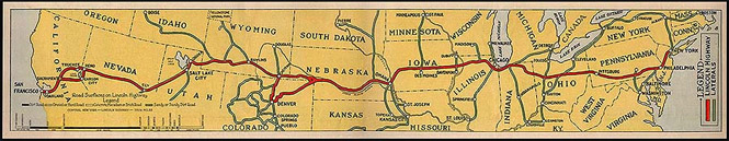
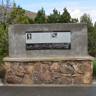
Quite recently, a nice monument to Carl Fisher was installed at the summit. The black and white part below the text shows the full Lincoln Highway route across the U.S. I walked away from the current road to find the original. I'm pretty sure this is it.

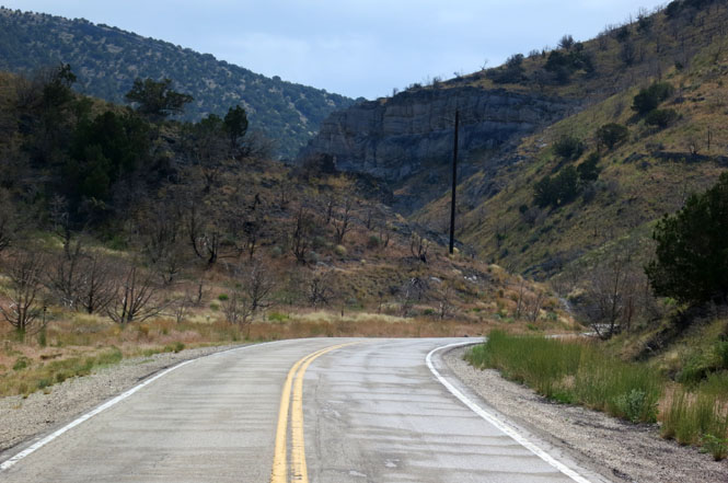
Devil's Gate was the major challenge to putting the road through the pass, and it still would have been a challenge to drive (below).
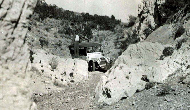
Entering Devil's Gate today.
At the bottom of this hill the Lincoln Highway angled to the right. Either way, you'll soon hit the boundary of the Dugway Proving Grounds.
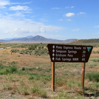
You cannot drive through the Army base, but you can skirt around it to again pick up the original route (which would include the route of the Pony Express). Perhaps some other day I'll do that.
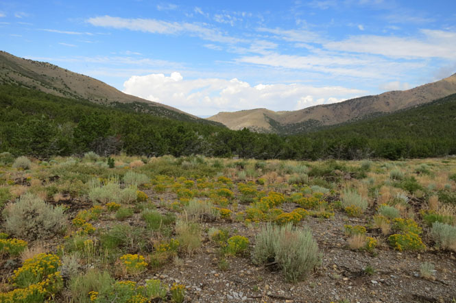
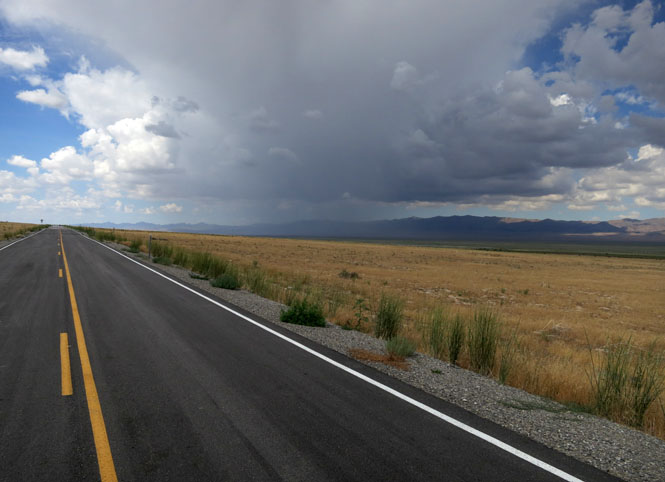
The drive up Skull Valley, Utah.
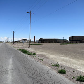
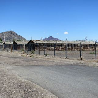
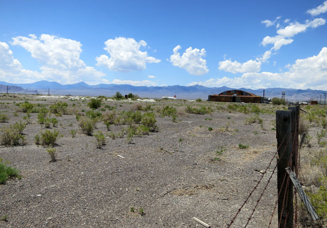
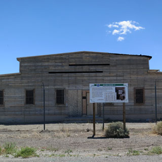
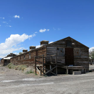
Bomber crews (for heavy bombers) were trained at the Historic Wendover Airfield. This place became something of a factory to turn out large numbers of fully trained crew members who would then have been sent (along with their planes) to Europe or the Pacific. It hasn't been an Air Force base for many years, but a surprising number of buildings are still here. It's dry and it's hot.
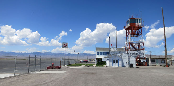
That large hangar in the distance? That was built to house B-29s, and therefore would have been the hangar for both "Enola Gay" and "Bockscar" (The B-29's that dropped the bombs on Hiroshima and Nagasaki, respectively).
 Nevada
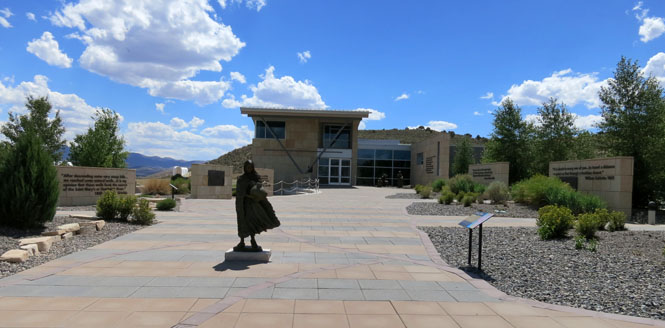
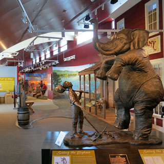
The California Trail Interpretive Center is quite similar to the Oregon Trail interpretive centers in Wyoming and in Oregon
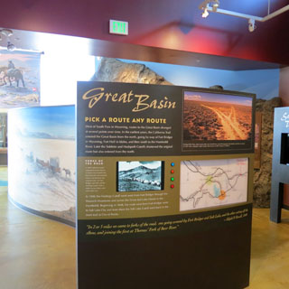
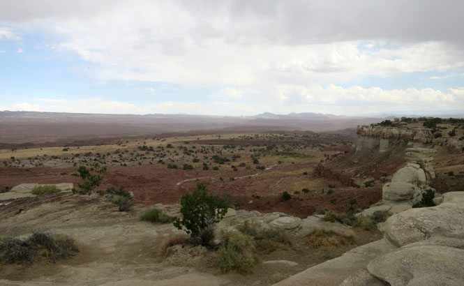
That V-notch in the near hill, below? That's where the Hasting's Cutoff meets the California Trail along the Humboldt River. This was the route that the Donner Part took, and was just one of the reasons they were so late in trying to cross the Sierra Nevada mountains.
"never take no cutofs and hury along as fast as you can"
--Virginia Reed [Donner party survivor]
 California
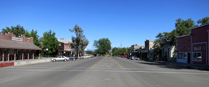
Susanville, California

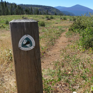
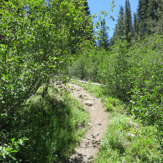
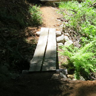
So now I can say I've hiked along the Pacific Crest Trail.
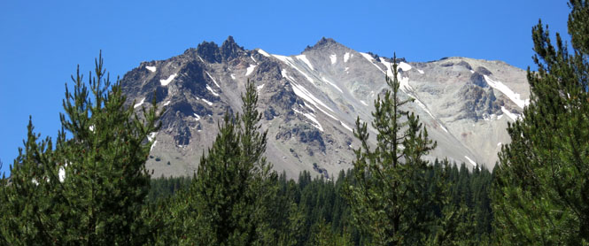
That's Shasta in the distance...
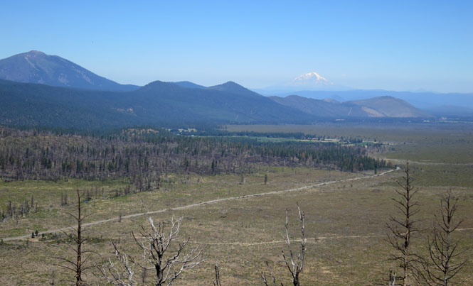
...and, that's Lassen a bit closer.

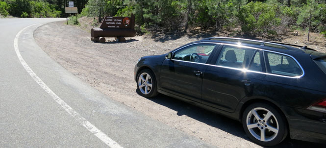
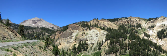
 Lassen Volcanic National Park at
the north entrance.
Lassen Volcanic National Park at
the north entrance.
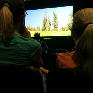
There's a nice little museum devoted to photographs showing the last eruption of the mountain.
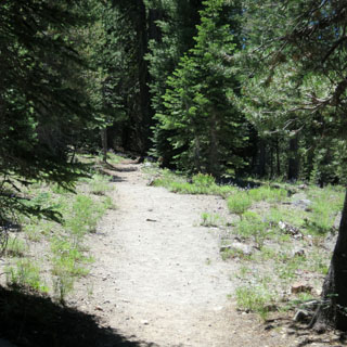
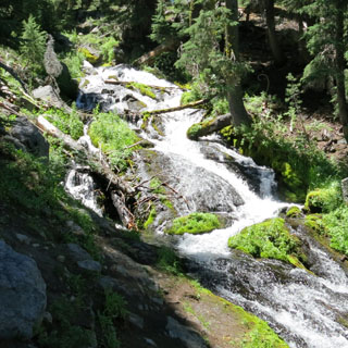
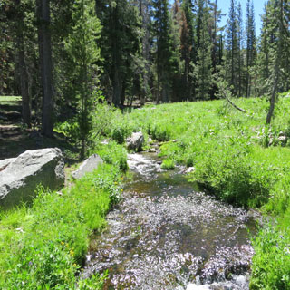
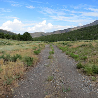
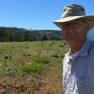
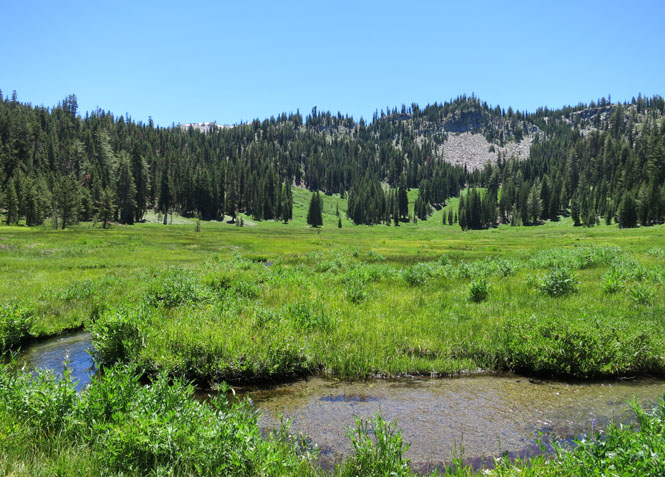
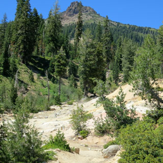
I walked a couple of miles to a high meadow.
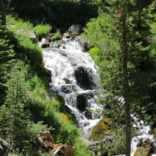
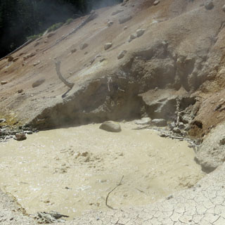
Mud pots and the smell of sulfur in the air.
The main south entrance has the larger visitor center.

Cottonwood, California
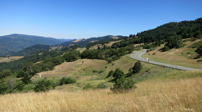
The summit parking area and a view of CA-299.
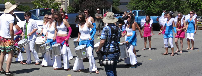
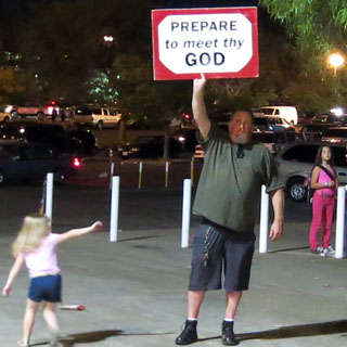
I was just in time for a parade in the town of Blue Lake. These ladies were perhaps not so skilled (or synchronized), but they were exuberant, and the crowd loved them.

At this point, the trip takes another direction, so we'll skip that and resume with the drive back to Kansas.
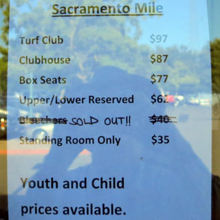
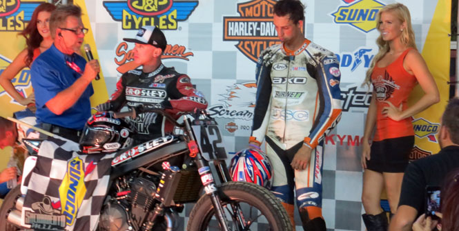
The timing was right to attend the Sacramento Mile flattrack races.
I don't believe I've ever paid so much (sixty-two dollars) to sit in the grandstands.
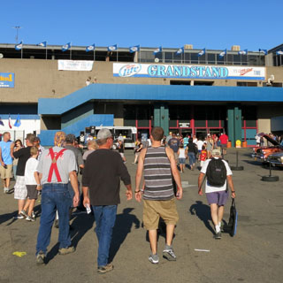
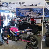
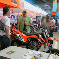
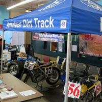
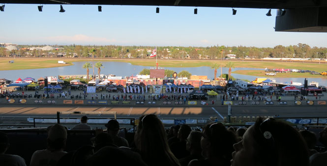
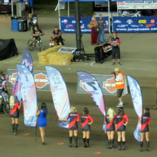
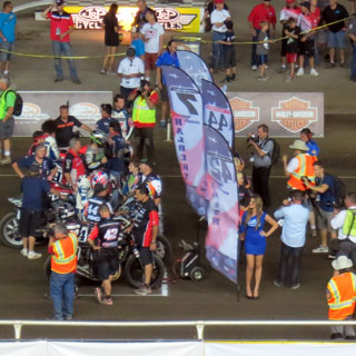
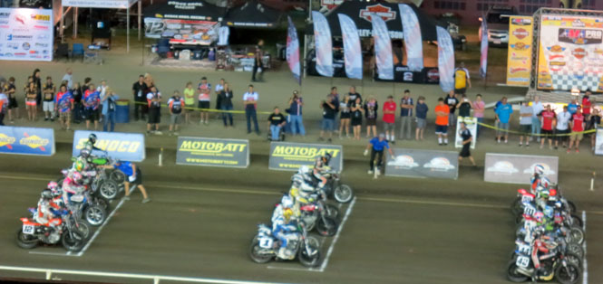
A very good race; won by Brian Smith on a Kawasaki.
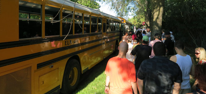
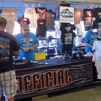
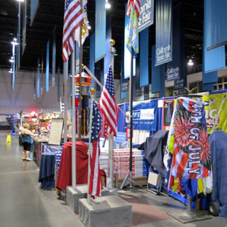
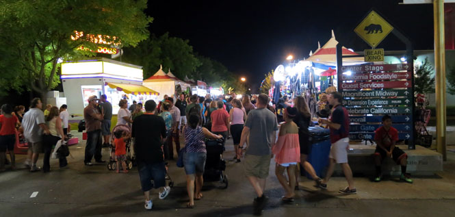
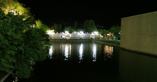
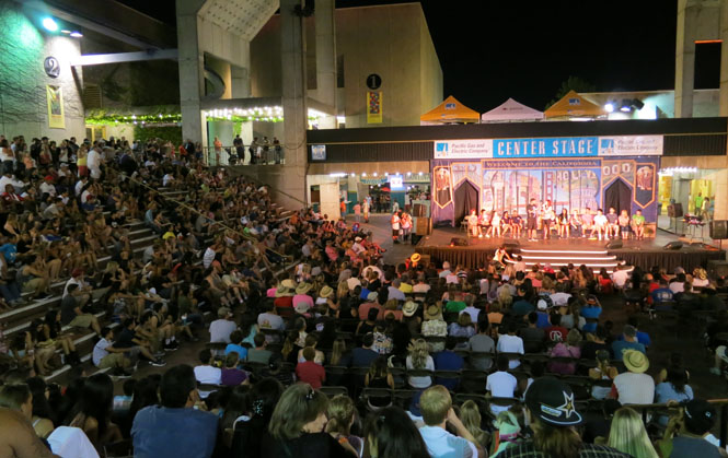
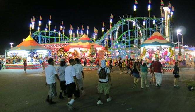
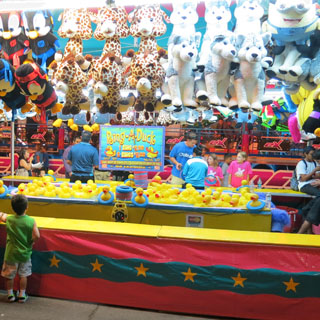
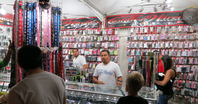
I've got just enough time to walk through the grounds of Cal-Expo for the California State Fair. The exhibit buildings are closed (or closing), so I wouldn't be able to see much of it.

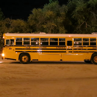
An interesting man and the shuttle bus back to where I've parked.
Nevada
On the outbound trip, I followed the route of the "Victory Highway"(now I-80) across Nevada. For the return trip, I'd drop down at Fallon to follow the route of the "Lincoln Highway" (now US-50).
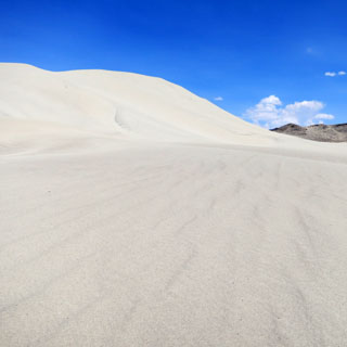
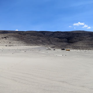
Fallon, Nevada
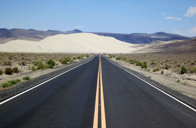
I walked up to the base of the very large dune, and decided I had no reason to climb to the top.
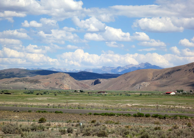
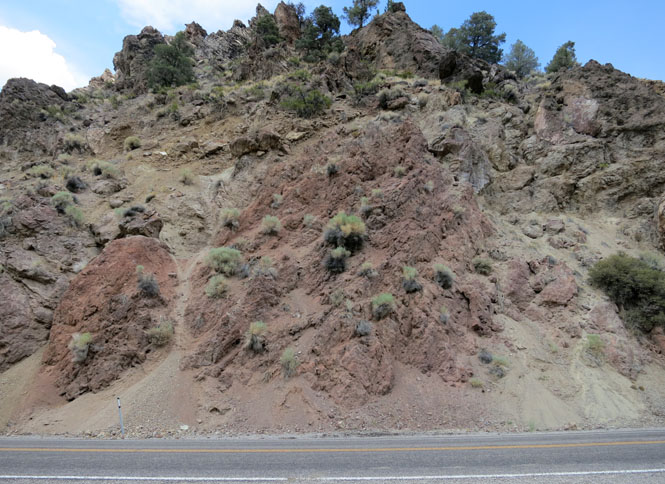
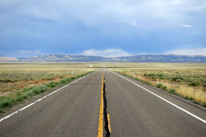
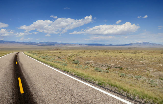
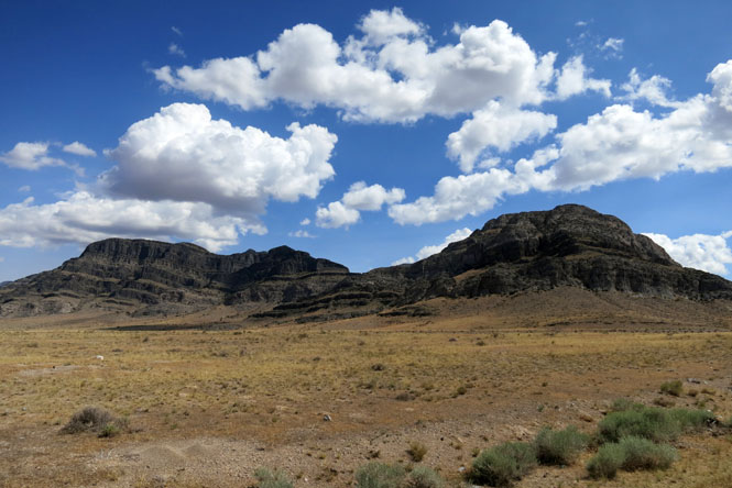
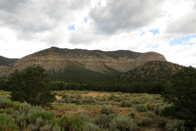
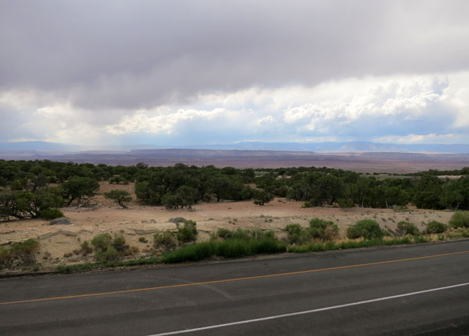
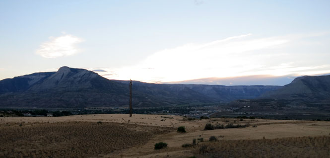
In Nevada, there are many tall and rugged mountains running north-south separated by vast flat stretches with no water. It's no wonder that this was so difficult to cross with wagons. There is no obvious "best route."
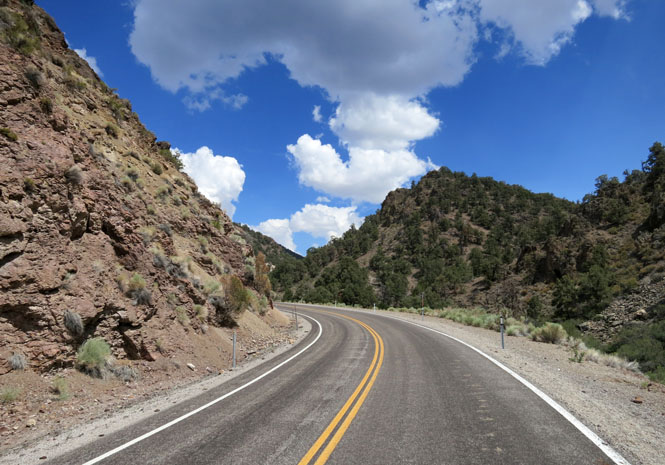
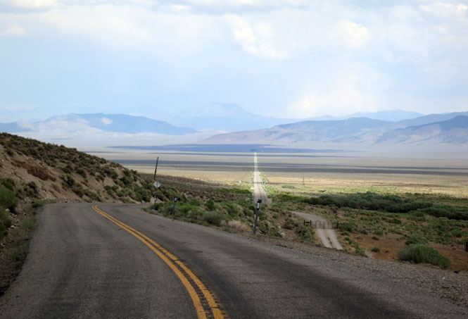
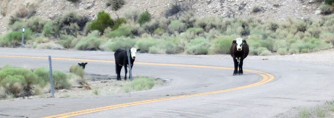
Nice roads; no traffic; but, you'd better keep your eyes open for these.
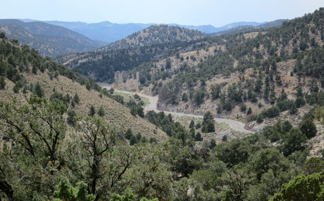
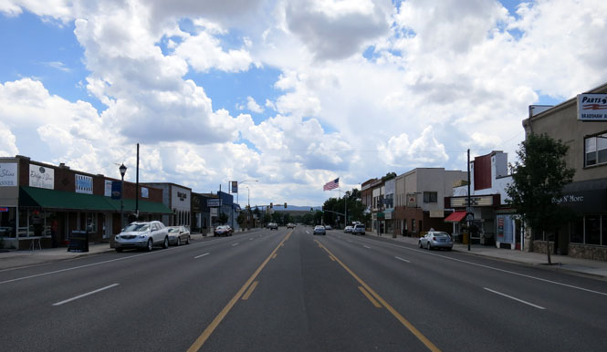
Austin, Nevada
Eureka, Nevada

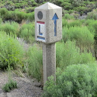
Wonderful! You don't see many of these. Back when the "highway" was a dirt track, an occasional sign such as this one--with the helpful arrow--would have been the only way to know you were not horribly lost.
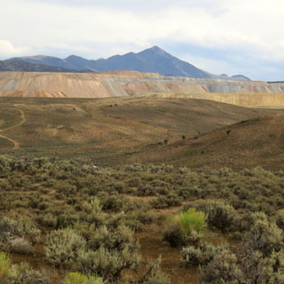
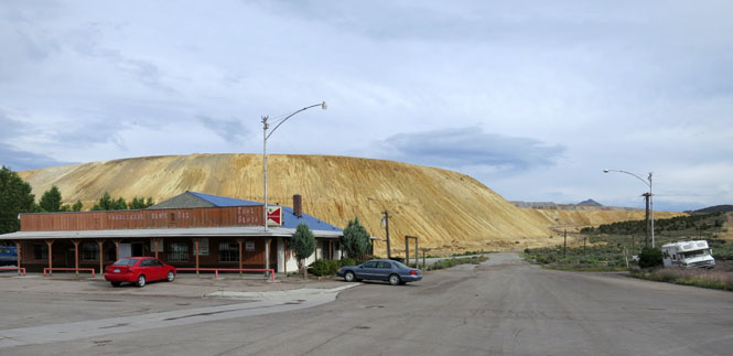
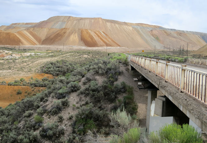
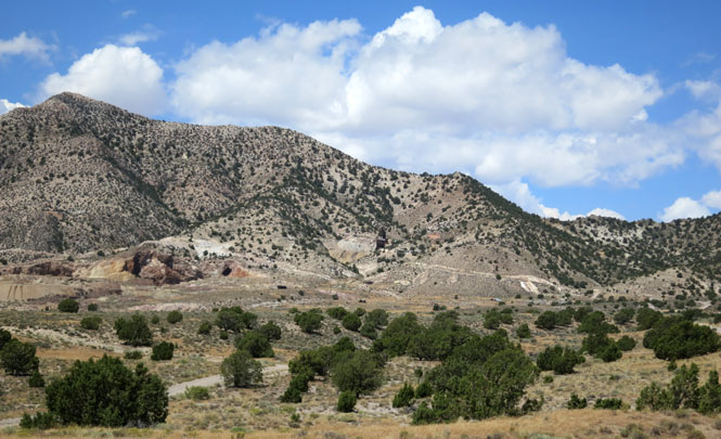
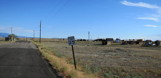
Ruth, Nevada
The Robinson Mine is now owned by KGHM Polska Miedź S.A., but there have been many owners over the years so I'd expect that to change eventually. They mine copper and all the other good things that come with it (gold, silver, molybdenum).
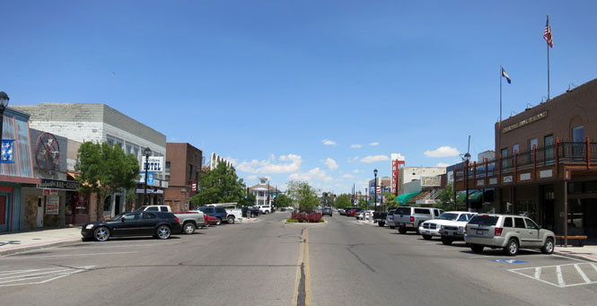
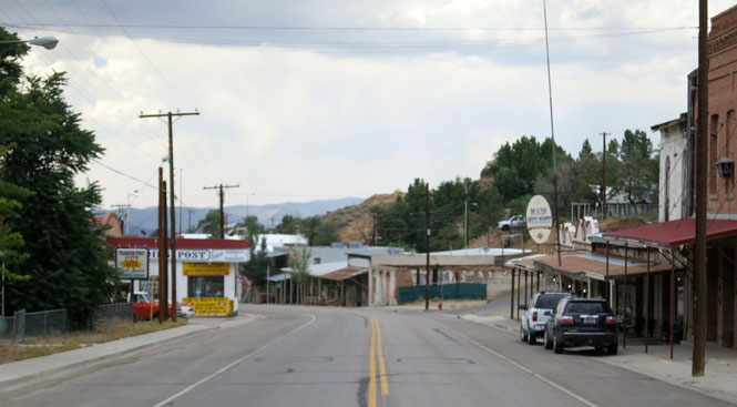
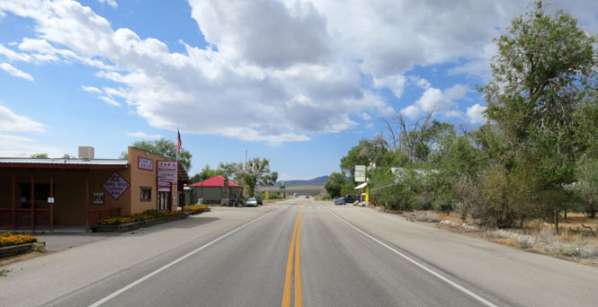
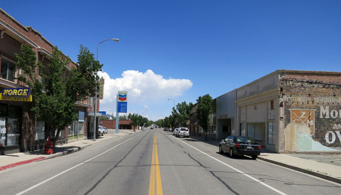
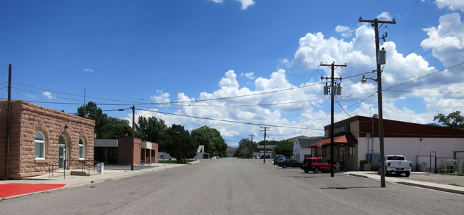
Ely, Nevada
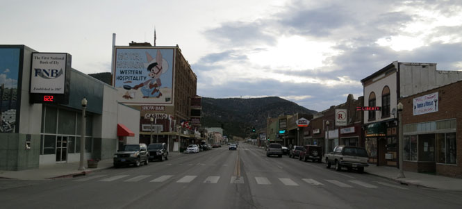
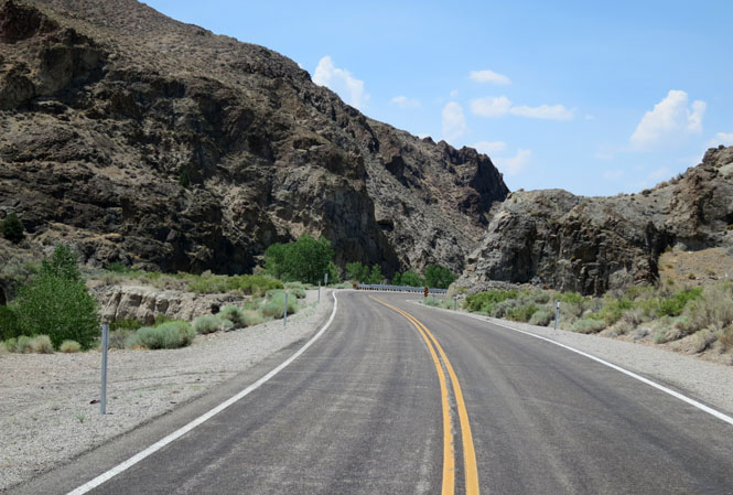
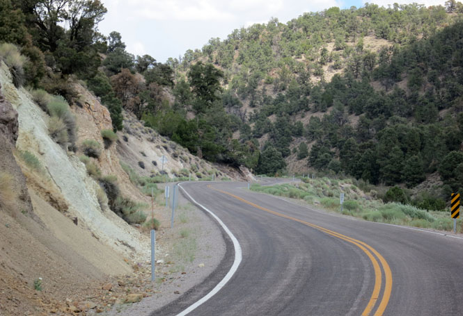
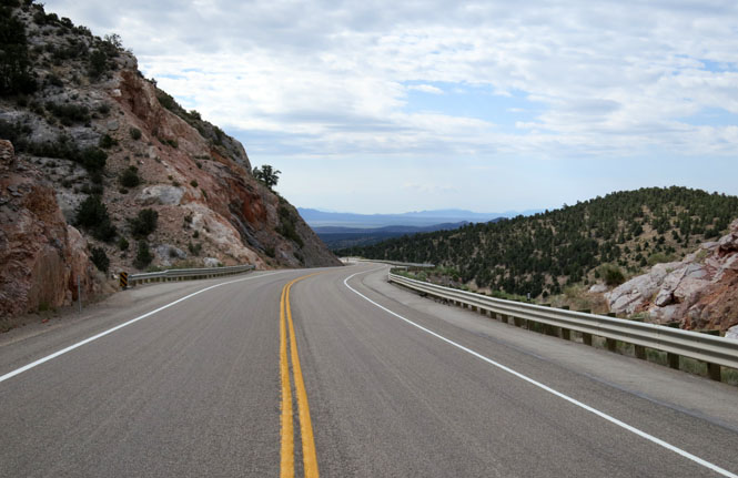
I'm always on the lookout for a good stretch of the old "Lincoln." Driving across the country in 1925 on that road would have been a real adventure.
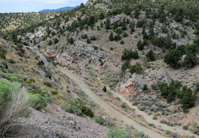
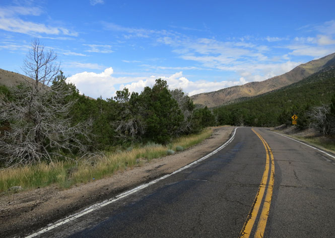
Today's road slices through the mountains without much effort.
Baker, Nevada
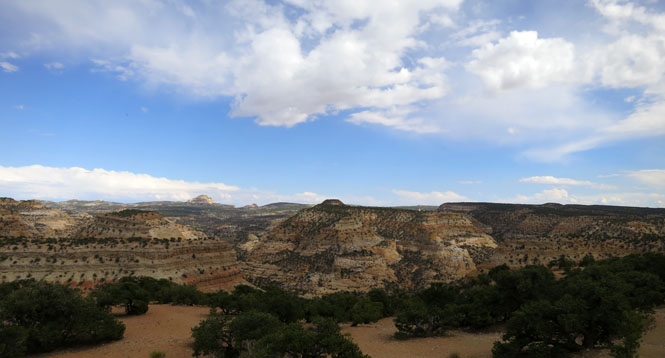
Utah
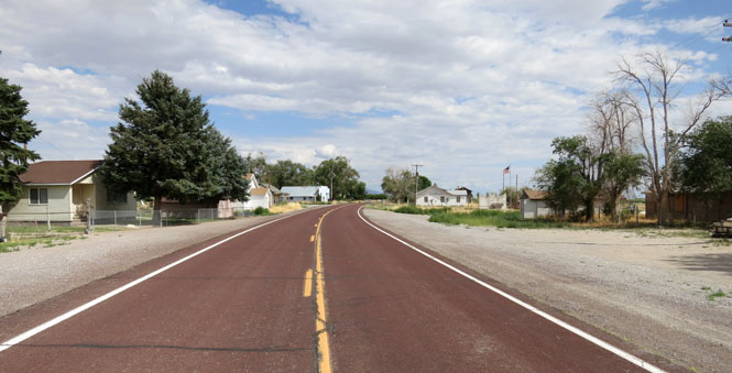
Garrison, Utah
I didn't stay on US-50, but dropped south aiming for the old ghost town of Frisco.
Frisco, Utah once had 6,000 people working the mines (or working the people).
Milford, Utah
Minersville, Utah
Beaver, Utah
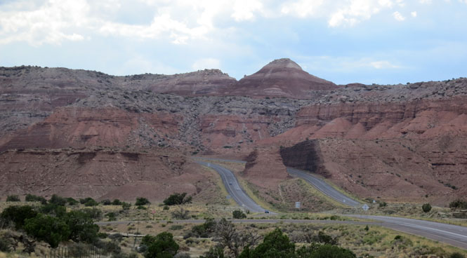
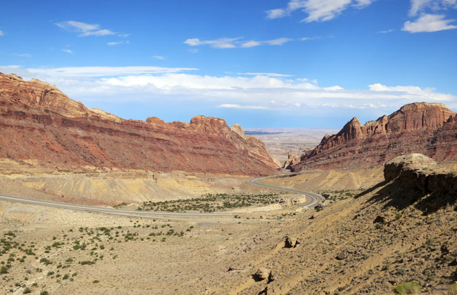
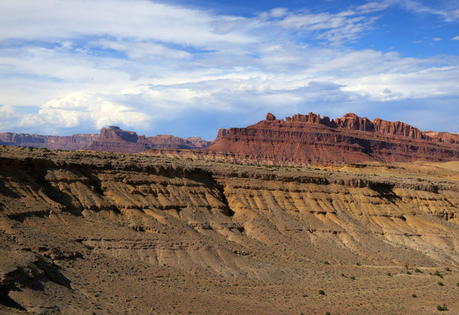
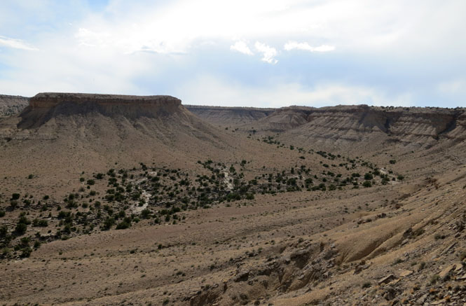
I-70 crossing Utah.
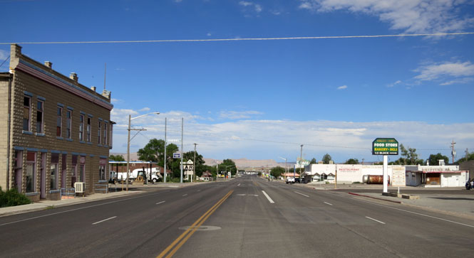
Green River, Utah. The first time I rode through this town it was quite busy, and there were business all along this road through the town. Then the freeway was built (which ignores the town completely) and that took care of that.
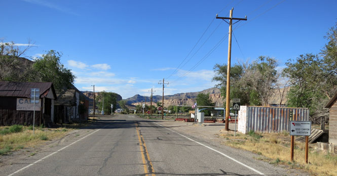
Thompson Springs, Utah was once on the main highway.
Cisco, Utah has many more buildings than people.
 Colorado
Parachute, Colorado
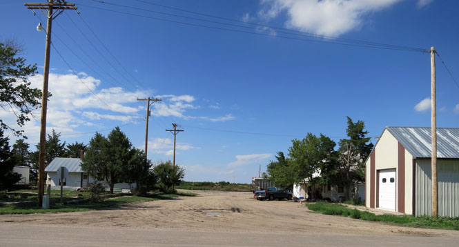
Agate, Colorado
Vona, Colorado
 Kansas
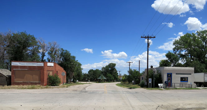
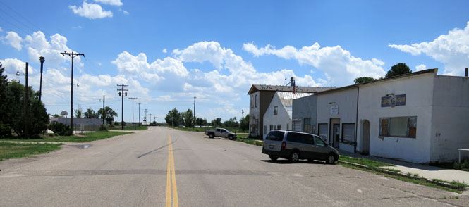
Levant, Kansas
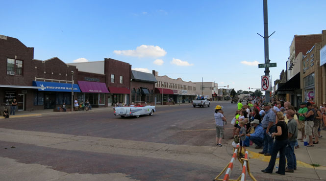
Colby, Kansas and another parade.