September 28, 2019


A few months back, I saw a notice on the Grand Canyon facebook page that said condors would be released into the wild at the Vermilion Cliffs of Arizona in the fall. I marked the date on my calendar.
As the date approached, I figured "why not go?" Indeed.
 Arizona
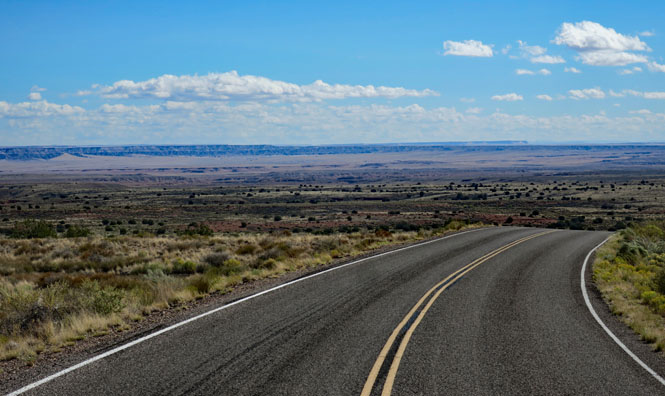
The road across the Hopi Nation in Arizona. If you're counting on
being someplace at a certain time (such as a condor release), you'll need to pay attention to where
you're at. The Hopi Nation does not follow Daylight Time, while the
Navajo Nation--which entirely surrounds it--does. However, Arizona
does not. In the small town of Tuba City, you'll find both Navajo Time
and Hopi Time. 
The Vermilion Cliffs are north of the Grand Canyon, not too far from the well-known Navajo Bridge, which crosses the Colorado west of Page.

 Vermilion Cliffs National Monument.
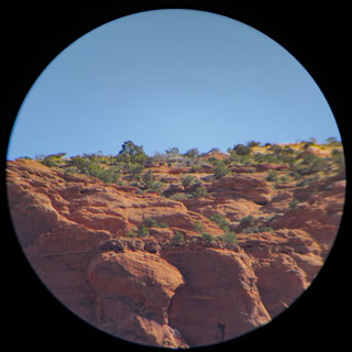
There's an unpaved stretch of road for about three miles that intersects US-89alt that takes you to the condor viewing parking area. Even when condors are not being released, this would be an excellent place to watch them flying above the cliffs.

There are a number of organizations that participate in the restoration of the California Condor at different locations in the western states. The Peregrine Fund out of Boise, Idaho is the organization behind the release of the four birds, today, here at the Vermilion Cliffs.
In 1982 there were only 22 California Condors left in the world. Today there are nearly 500 – more than half of them flying free in Arizona, Utah, California, and Baja Mexico.
The Peregrine Fund has been on the leading edge of recovering this iconic American species and continues to work diligently to ensure that future generations can look above and delight as the silhouette of a condor’s magnificent wingspan sweeps overhead.
--Peregrine Fund website


I had no idea how many people would be here--about 200 as it turns out.

Scopes and binoculars are made available. There's some high quality equipment on hand.


The condor is a big bird; really big. It's the largest in North America.


Cars are still streaming in (and parking head-to-toe). The schedule was for an 11:00am release, but some may have been caught unaware by which clock is in use.

I walked out and turned around to take this shot of people looking at the cliffs.

National Monument staff were here to help, too.

Lots of condors to see! I saw as many as eight in the air at one time. It's as if the whole neighborhood of condors knew something was up. The four captive birds that had been in this large enclosure were about to join them. This photo was taken by putting my camera up to the eyepiece of one of the scopes.
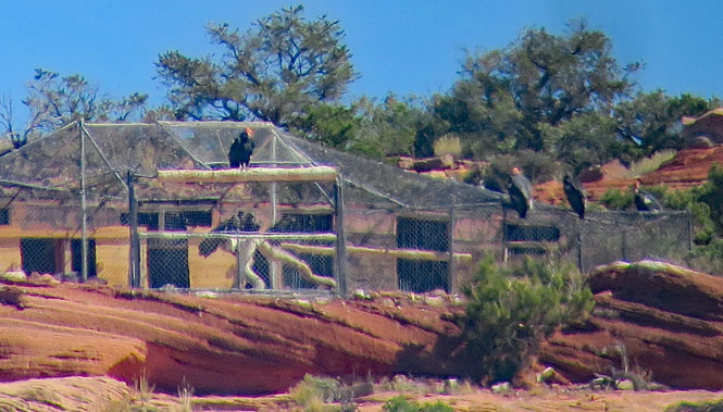
There was a count-down, and the door was opened. It took the birds a bit of time, but all four came out, and all four took to the air with success. The population of the Vermilion Cliff condors has just grown to ninety-six.


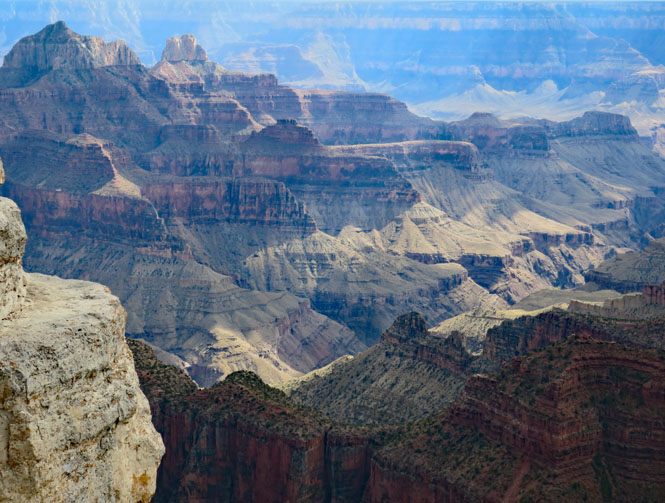
It has been many years since I've been to the north rim of the grand canyon, so since I am fairly close, I'll drop down and look (and see if there might be any cancellations at the lodge).

Spectacular, as always. I think every time I see this, it is no less amazing. You can only stare. However, there are no vancies at the lodge.
 Wupatki and Sunset Crater Volcano National Monument
This national monument is not far northeast of Flagstaff. For several hundred years, the people of the Wupatki area (and it's your guess what they really called themselves) lived here--perhaps 2,000 in the region. But, by 1,250 the buildings you see now were empty. The Sunset Volcano, certainly, and long droughts eventually caused the people who lived here to make changes.
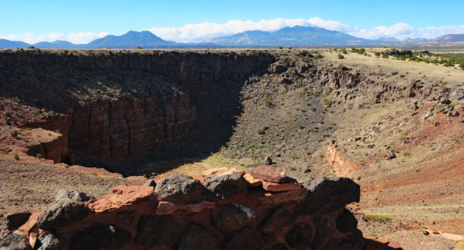
Citadel Pueblo is high on a volcanic outcrop. It was once much taller than what is there, today. Was it a fortress or simply a high point to see and to be seen by others?

That's Lomaki Pueblo in the distance as seen from Citadel Pueblo.

A supply of building material is just next door in this volcanic pit, but it's still no small effort to haul the stones up here.
Driving south through the park.
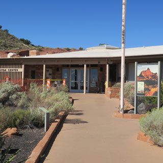
The Visitor Center and Wupatki Pueblo. Ideas have changed as to the best way to present these ruins. Once it was acceptable to make an attempt to rebuild them and to try to present them as (it might be thought) they once were. That's no longer the case. Most of those misguided attempts (as they are now viewed) have been erased, and only the ruins as they were two hundred years ago are seen, today. Preservation is the emphasis, not rennovation and not digging-things-up.

This was a crossroads for trade and also a center for agriculture. There were many people here and people from all over came through and also stayed. To speak of the people who lived here as being of a single culture and heritage is too simple a view.

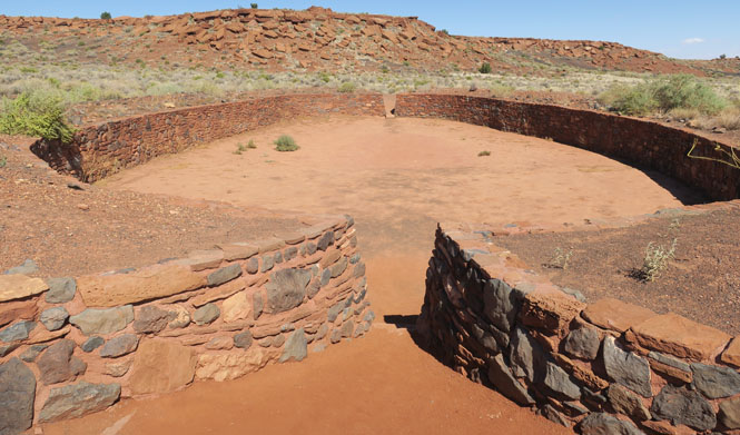
The oval looks like it might have been a kiva, but it is now thought to have been something else as it doesn't have the hallmarks of other kivas in the area.


It's the arena for a stick-and-ball game that likely came from the people south of here. There have been many such arenas found, but this is the most northerly. Exactly what the game was is not known.


Wukoki Pueblo is nearly within sight of Wupatki. Again, the question is to what purpose? Fortress? Likely not. Observation? Perhaps. In any case, it is thought up to three families lived here at one time.


The view looking north from the Painted Desert Vista towards Wukoki Pueblo in the far distance.
