October, 2019


The Mosca Pass Trail follows Mosca Creek across the Sangre de Cristo Mountains. The west end starts in the San Luis Valley, next to the Great Sand Dunes. The east end reaches a dirt road (NM-583), which continues into the Huerfano Valley.

The Ute Indians would have long used this route, which became a trail used by settlers in the 1800s. In 1807 the Zebulon Pike Expedition passed through here while looking for the source of the Red River (which they never did). Surprisingly, it was a toll road between the 1870s and 1911, when the road was largely washed out by floods. These days, while walking the trail, it's hard to see how wagons ever managed this route.
 Colorado
 Great Sand Dunes National Park
That's Humboldt Peak (14,064) to the right. These enormous dunes are here due to a complex balance of sand, wind, water and mountains.

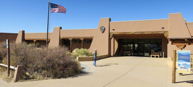
The visitor center is complete with helpful rangers, natural history exhibits, videos and short paved walks with good views of the dunes for those who don't want to fill their shoes with sand.
I asked a ranger if there was a trail that gave a nice higher view of the dunes. She suggested the Dune View Overlook Trail. Well, that makes sense...


I've been here several times, but, have yet to climb to the top of these dunes. It's tough going; for every step you take, it seems you slide back down, just inches from where you started. Carry lots of water and do not be stupid.

Looking south down the San Luis Valley. Take note of the small lake just visible in front of the far mountain peak. That's San Luis Lake.

This is San Luis Lake, looking north; you can see the dunes at the foot of the mountains. The water in this lake comes from those mountains and largely flows under the dune-field before surfacing here. As was said, it's a complex balance.

The Mosca Pass Trail starts not far from the visitor center. The total out-and-back length is just under seven miles.

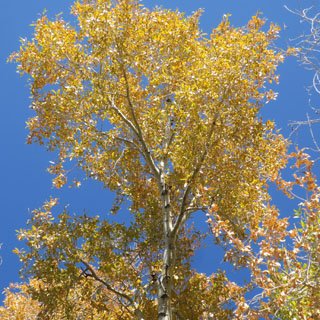
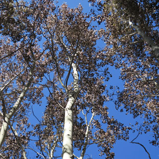
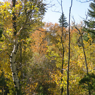
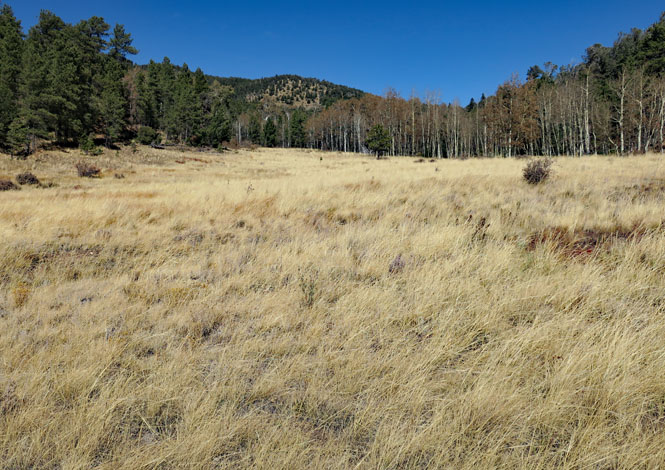
The trail starts in a narrow valley, which gradually opens up to a meadow as you near the summit.


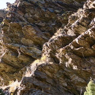
Was this impressive cut part of the original toll road?

The view of the Great Sand Dunes and the San Luis Valley from the trail. There's more climbing to be done.


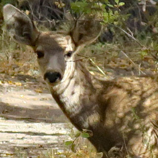
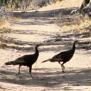
The only wildlife I saw on the trail. Neither the deer, nor the turkeys seemed too concerned with me.
October is a perfect time for this trail. From what I've read, swarming mosquitoes can be horribly aggressive in the warmer months--to the point where the trail is hardly manageable. I didn't see a single mosquito; the temperature was perfect.
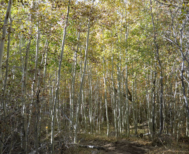


The trail takes you from the rocks of the narrow canyon to this wider valley with its sandy pathway.


At the end, the trail passes through a fence and meets with a dirt road. This is one of the boundary markers for the National Park (I spent a summer working with a BLM surveying party installing these things, so I'm always looking for them).


The view east, looking over the Huerfano Valley. At this point, turn around and walk back (a whole lot faster on the downhill run).

Most people visiting the dunes, stay at the dunes. I hardly saw any other walkers on this trail (I saw more wild turkeys than people).