December, 2019


Big Bend National Park covers such a large and varied area that I'm not sure you could ever really see it all without spending a year doing it.
 Texas
Texas
This is my seventh visit. As with last year, I'll spend my nights at Chisos Mountain Lodge, which is easily the most convenient place--of course, it's also the only lodge within the park.
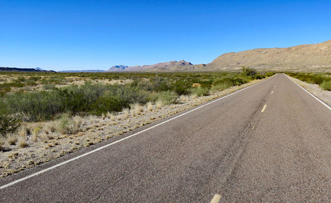
The speed limit within the park is never higher than 45mph. Relax.
I've done the Dog Canyon Trail (see below), but I haven't been on the trail to Devil's Den, which is just south of Dog Canyon.
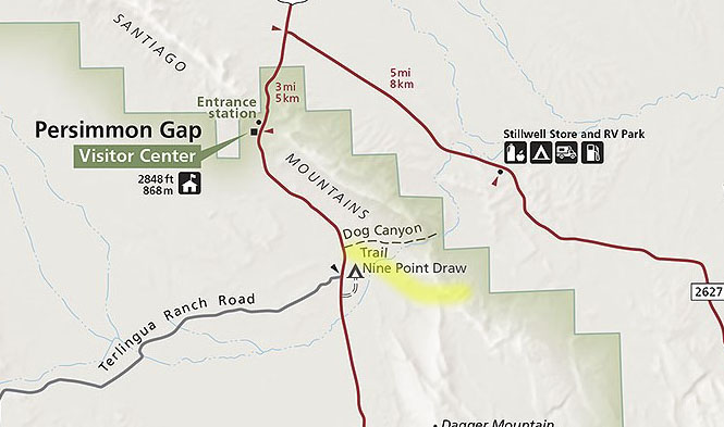
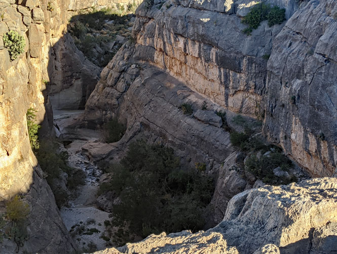
Dog Canyon is the more spectacular, but Devil's Den is worth visiting. In the photograph (below), Dog Canyon is seen on the left. If you look to the far right, you'll see what looks like a crack in the hills. That's Devil's Den.

Here's a closer view of that same area. It is generally possible (albeit, difficult) to stay down in the canyon, but, I'll be up top on the south (right) side.

The signs would have you walking to Dog Canyon and then turning right to get to Devils Den. Instead, I'll be walking straight across the desert. It's visible from the start (as you saw in the photo), so why not?

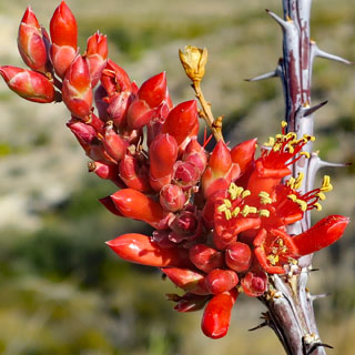
It's always good advice not too touch any desert plants and to avoid even running your hands along your pants. These little thorns are hard to remove.


I'm much closer and still staying on the upper level. I think many people naturally drop down into this broad area, but then find themselves entering the canyon without an easy way to climb up the sides (except to turn around).

Looking back to where I started. Before starting the hike, I noted that peak on the horizon as my goal on returning. If I aim for that mountain, I'll end up at the road where I started.

The canyon deepens.

There's no running water this time of year, but it's obvious that in the springtime, there can be quit a bit. You can see the difficulty of walking down there--climbing all those small waterfalls would be a chore--but, I'll bet it's an amazing place to be.
The view looking back.

Onward to Chisos Mountain before it gets dark.


The lodge (and other visitor facilities) is in the basin of the Chisos. This is the view looking out "the window" towards the setting sun.

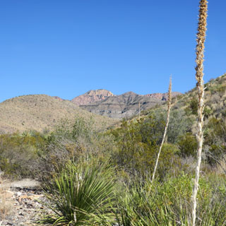
Dodson Trail is one I've not walked (as with so many others). It connects to other trails and would be quit a long hike for a single day. I won't be going that far.

Usually, the start of a new trail is where it's easiest to follow. But, here, it's not so obvious.

All the trails that start within Chisos Basin can be busy--or at least you will likely meet other people on occasion. But, these trails on the outside of Chisos Mountain are never crowded. You can expect to never see another person all day.


That far gap with the triangular point in front? That's Santa Elena Canyon, where that the Rio Grande flows.


Some of the trail is in a creek bed. This is not a difficult trail to follow. Where needed, there are usually a few cairns to let you know you're on the right path.


I've reached a high ridgeline, so this is a good place to rest before turning back. I carry two one-liter bottles. When I've used half my water, it's time to go back. But, what to do with the empty (but, sticky) wrappers from the energy bars you've just had? Strap them down with laces and walk them out.


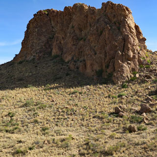
The view looking back on the trail. I'll be walking around that castle-looking formation on the right.

The Grapevine Hills Trail.

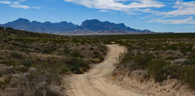
The map shows that the entry road to the trail is a prepared dirt road. Perhaps that's so, but you'll want to be very careful. The roads shown by a dashed line are pretty bad and only four-wheel-drive vehicles are recommended.


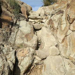
It's an easy trail and not very long. But, the last 200 yards to see the balanced rock are a struggle that many people should not attempt.


The photo (below, right) gives an idea of what the final trail looks like. In parts, it's mostly vertical with a few hand-holds that have been made. Going up is much easier than coming down.

Here we have the balanced rock and the view beyond.

Looking back on the trail that has brought me here.

To Boquillas, Mexico. On my first visit to Big Bend (on a motorcycle), I came to the crossing, but didn't continue since it was getting late and I didn't have anyplace to spend the night. I wish I had made that crossing since that was well before 9/11 changed everything.

After 9/11, it was illegal to cross the river into Mexico and the small village of Boquillas suffered. A new port-of-entry facility opened in 2013, so now (with a passport) you can cross into Mexico on an approved boat.

You can also just wade across, as that man in the background is doing. It only costs $5 by boat (round trip).

 Mexico
The Rio Grande changes its course over the years, but the international boundary does not. Consequently while I'm standing in Mexico on the south bank of the river, the other side of the river also is in Mexico.

You can ride a donkey into town, but I decided just to walk. It's not much more than a half-mile.


Boquillas del Carmen, Coahuila was founded in the late 19th century to support the nearby silver mines on both sides of the river (the silver being sent to El Paso). The mines shut down with the end of World War 1 and Boquillas has since depended on tourists from the United States. The nearest town to Boquillas within Mexico is still 160 miles away. This is a remote place unless you come across the river.


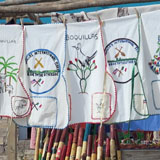
Selling things and food to tourists is mostly how the town makes a living.


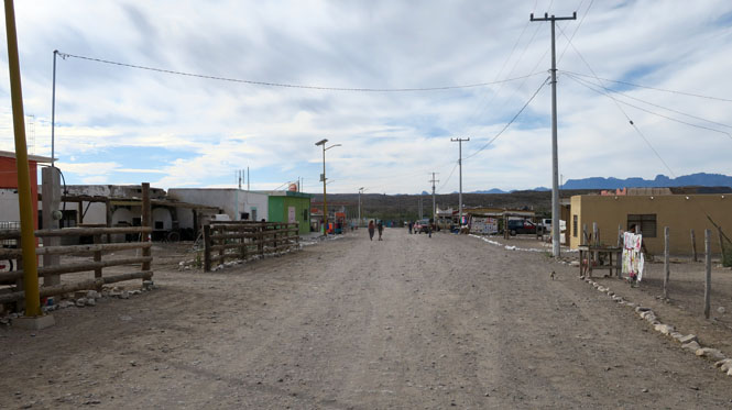
A bar, a school, a church.


Electricity for the town is supplied by solar cells.

There are two restaurants in town (connected by family ties) that are just across the street from each other. I had cabrito tacos at the Boquillas Restaurant, which are not available at the other.


Texas
Every hike would eventually end back at the Chisos basin. The view of the village is from the restaurant, which has a spectacular view of the surrounding mountains and "the window."

