January 19, 2020


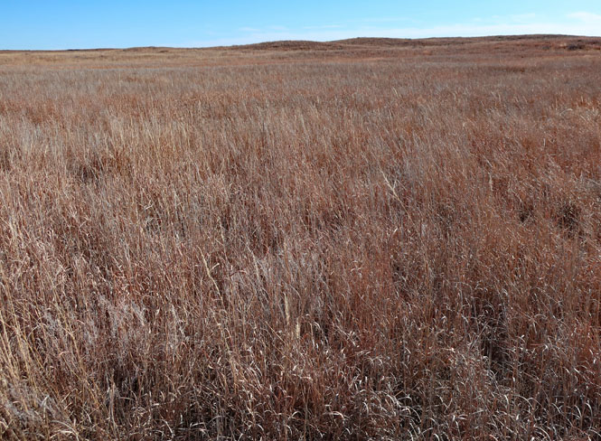
There are subtle changes as you move into western Oklahoma: a few more hills, buttes, sand. While there once was extensive farming, that changed after the dust bowl days, when this area was hit the hardest. Now, it's more ranching and oil and natural gas.
But, that means that it's possible to see the land as it once might have been at places like the Cooper Wildlife Management Area.
 Oklahoma
The wildlife management area is located at the joining of Wolf Creek and Beaver River into the North Canadian River between the towns of Fort Supply and Woodward.
 Hal and Fen Cooper Wildlife Management Area
State Purchases Cooper Ranch
The Wildlife Department has finalized the purchase of a 16,002-acre ranch in Woodward and Harper counties, said Charles Wallace, deputy director. He said the area is located at the confluence of Wolf Creek and the North Canadian River. It will be named the Hal and Fern Cooper Wildlife Management Area after the former property owners.
Mrs. Cooper wanted the department to have it, Wallace said. She was very interested in keeping the ranch together for citizens of the state of Oklahoma.
Wallace said that of the 16,004 acres, Mrs. Cooper donated 2,498.68 acres, the single-largest donation ever received by the agency.
"The Coopers built the property into a successful ranch over a number of years of hard work, and Mrs. Cooper wanted to see it be enjoyed by others," Wallace said.
"Her primary concern was to keep it intact, because it took many years of hardship building it into the ranch it is now," Wallace said. "Her request to the department was to make it a beautiful wildlife area. "
The new area is adjacent to Fort Supply WMA, making it the largest wildlife area in western Oklahoma. It is an excellent area for wildlife, including deer, turkey, quail, prairie chickens, waterfowl and a multitude of nongame species.
--October 22, 1992 [The Oklahoman Newspaper]
There are no paved roads, and not much in the way of facilities. There are a few camping areas, but that only means an area was leveled and is kept cleared. At this entrance you'll find maps in a wooden box, but don't expect to use the information to get around--it's decades out of date (showing tracks that are long gone).


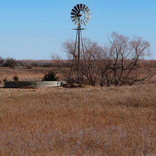
Here and there are the remains of the Cooper ranch.


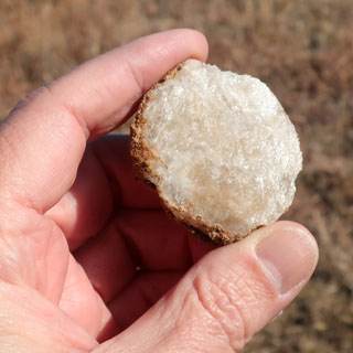
Selenite? That'd be my guess. This sparkly mineral is everywhere.

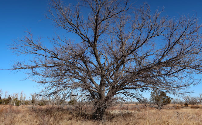
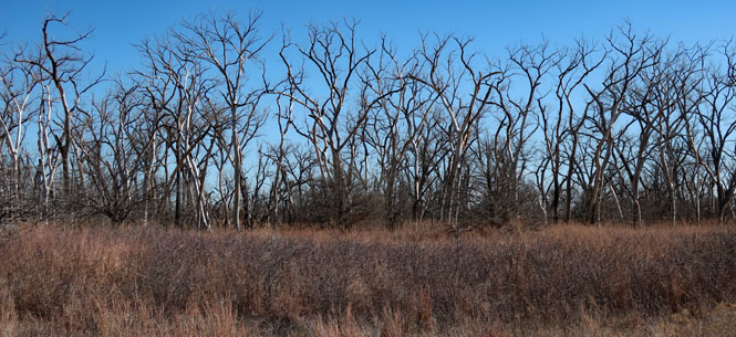
The North Canadian River. The river is free to change its course as it wants. You'll see stands of dead trees that were once along the banks, but now are deserted.


The ground around here is quite sandy. Strike your heel on the surface and it will sink a couple of inches.
It's a beautiful area.